JF Ptak Science Books Quick Post
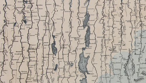
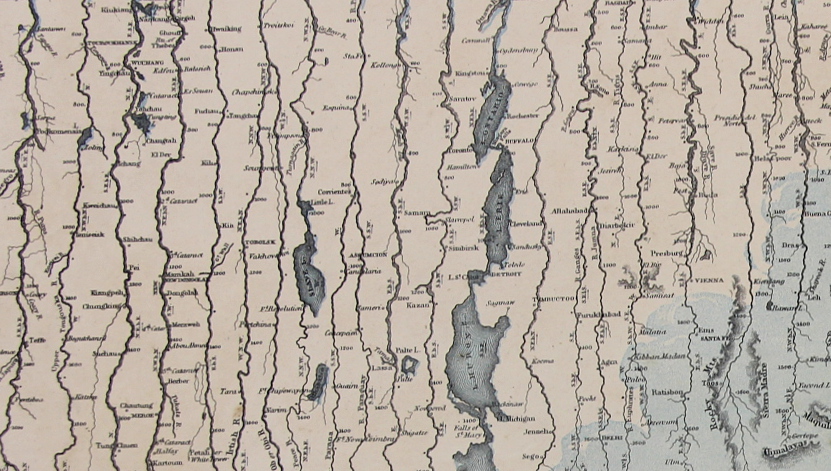
This map may be simply named (“Mountains & Rivers”) but the information it displays is hardly so. As a matter of fact there are probably a thousand data points in this flowing, pleasingly-design comparative display of information–and the closer you look, the more there is.
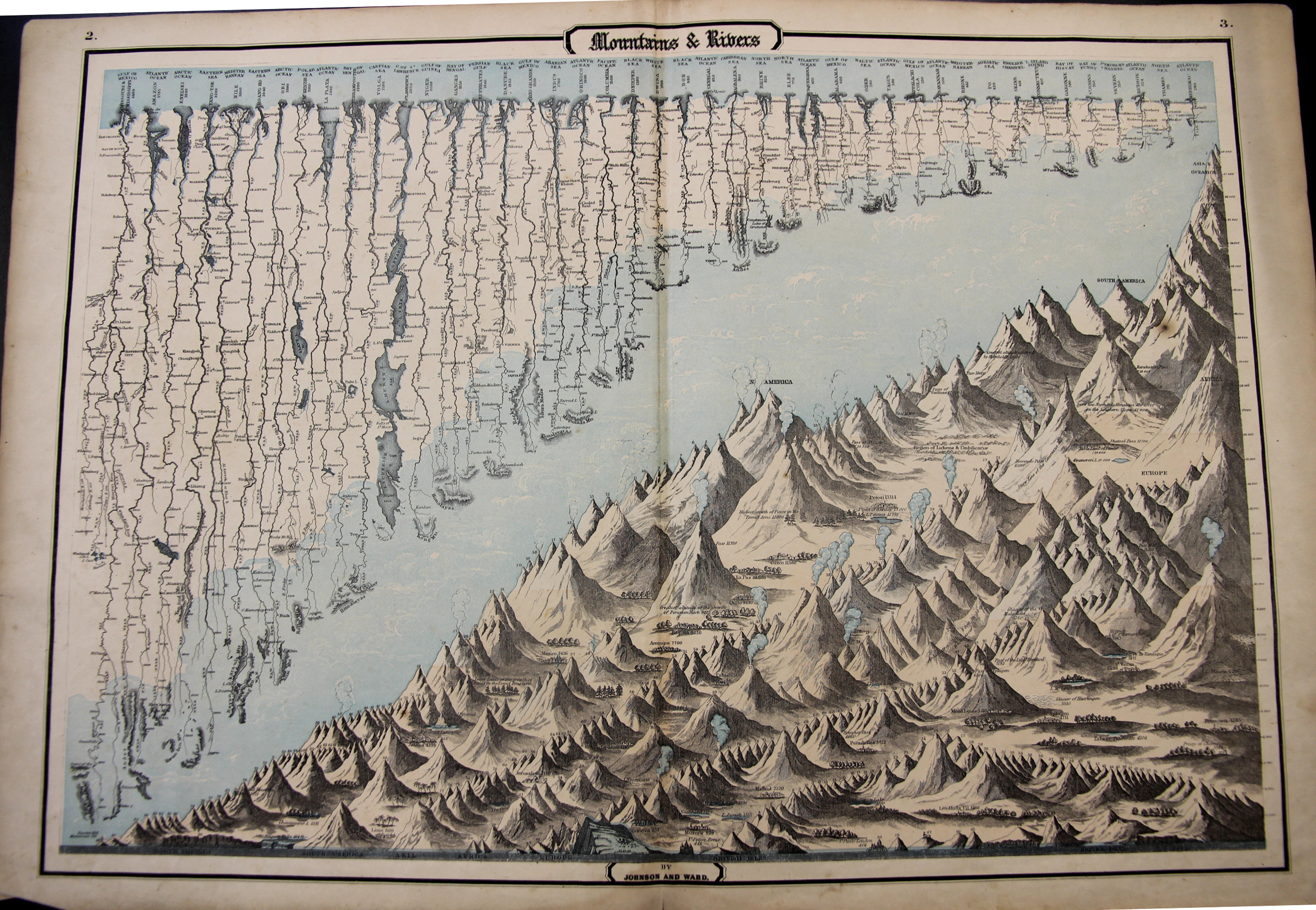
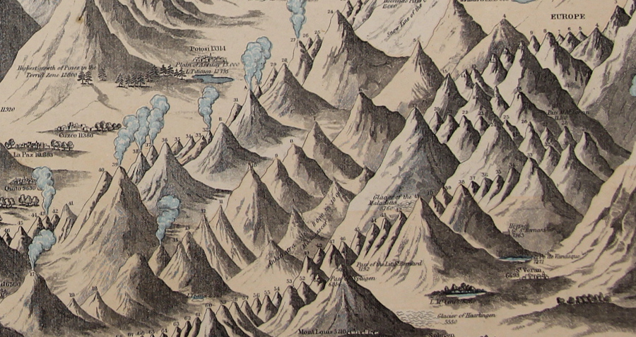
In the mountains section there are hundreds of pieces of data locating the elevations at which cities and towns are found, and the altitudes of the extent of different types of trees, and of course the comparative heights of enumerated mountains set off by the continents. Above the mountains floats the fantastic display of the lengths of rivers, listing 43 in all, showing cities at the various stages of each river’s progress.
It really is a glorious thing.
“Maps & Rivers” was printed and published by Johnson & Ward in 1862 and appeared in Johnson’s New Illustrated Family Atlas; there is at least one earlier version that appeared in 1856 with a different background and with ornate Celtic-inspired borders, though I prefer this version with the simple border and the full blue-sky-and-clouds background. For my experience this is one of the richest of the genre published in the mid/late 19th century.
- The original map is available for sale at the blog’s bookstore, here.