JF Ptak Science Books Quick Post
In order ot have an Industrial Revolution, you need people, and the people (given the times) needed to live close to where they would work. Large number of people all living in close proximity to work means that they need to live close together; close together means that there needs to be essential services, like water. And of course with water you need a place for it all to “go”–and perhaps the “goingest” of water in the city would be for waste. So, if you can’t get rid of waste, then you have no Industrial Revolution. Or something along those lines.
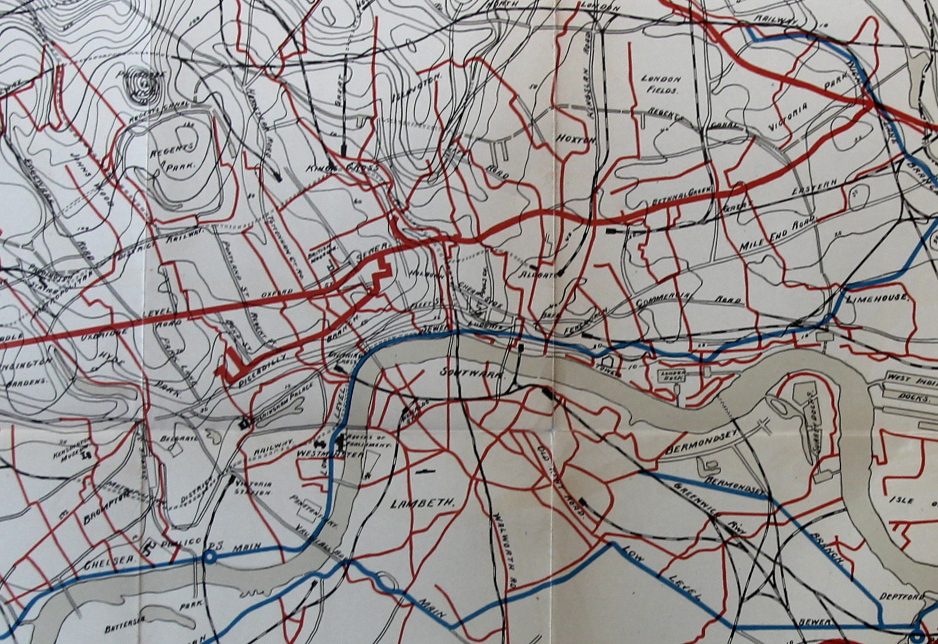
In any event that leads me into this fantastic map of the “other” London underground, the sewer system, the alternative outflowing lifeblood of the great city.
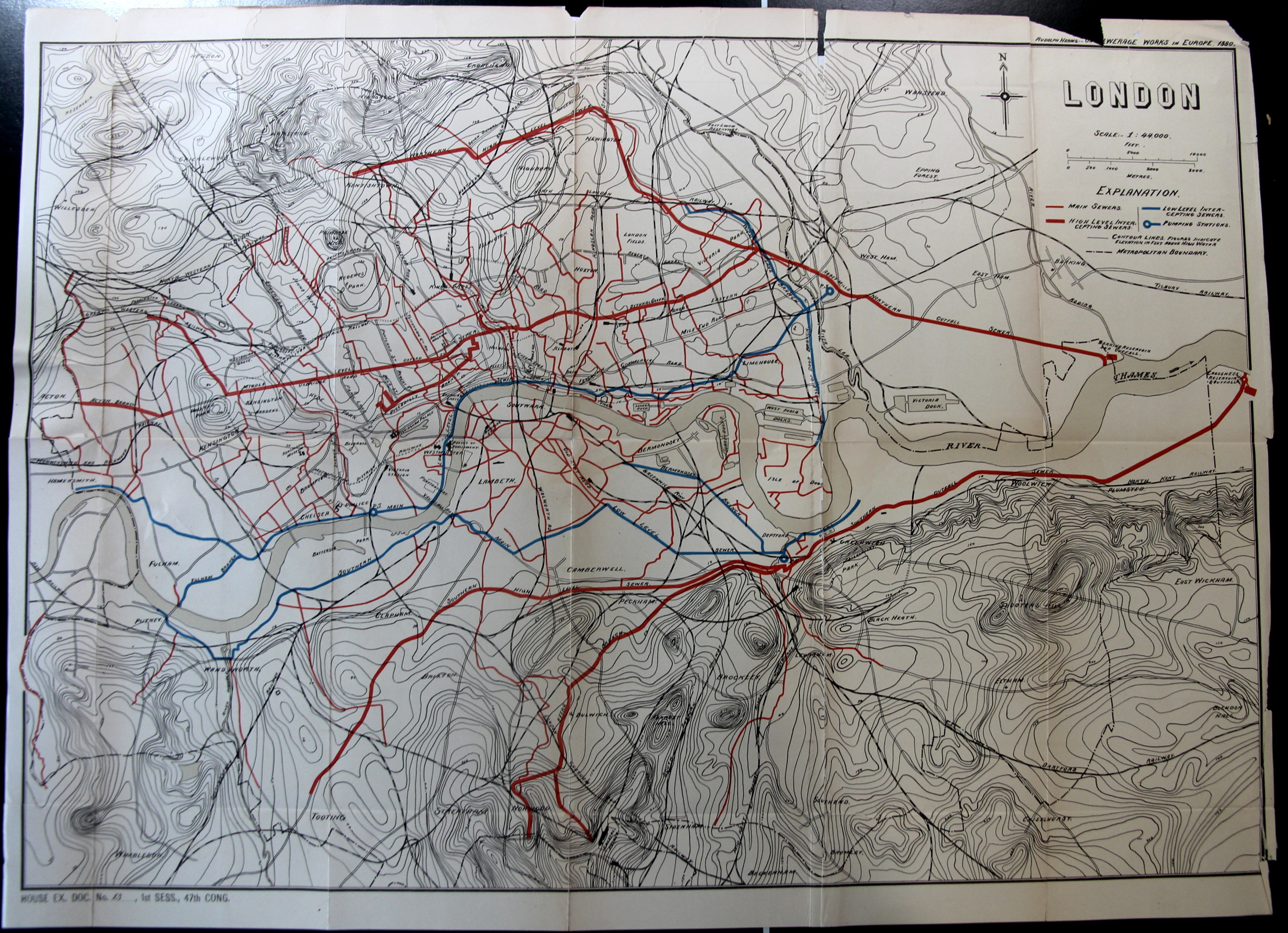
The map appears in the Report of the Results of an Examination Made in 1880 of Several Sewerage Works in Europe, by Rudolph Hering, in the Annual Report of the National Board of Health 1881 (Washington: Government Printing Office, 1882), pp. 99-223.
- The original version of this map is offered for sale at the blog bookstore, here.
And a detail: