JF Ptak Science Books Post 144 (from 2008) expanded
Understanding the Mississippi River was the skeleton key to understanding pre-Civil War America. There was really nothing else quite like it—the Ohio River and the attention paid it by Collot and others was of great importance to understanding the early far Western (east of the Mississippi River) adventures of Colonial and Post-Revolutionary America, as was the Missouri to early 19th century American exploration and settlement, but the Mississippi loomed over all. Like saying that Babe Ruth was a fabulous baseball player or that Richard Feynman was a brilliant physicist is a bland statement of the obvious—the understatement hollowing and becoming more brittle the more deeply their “records” are studied showing how truly incomparable they were—the Mississippi, “The Father of Waters”, is really the Big Deal in the history of the U.S.
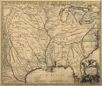
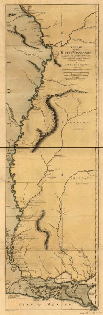
And in spite of the fantastic maps made of river through the 18th and 19th centuries (like these gorgeous and iconic examples by John Senex in 1721 (A map of Louisiana and of the river Mississipi [i.e. Mississippi] : this map of the Mississipi [i.e. Mississippi] is most humbly inscribed to William Law of Lanreston, esq.) or Robert Sayer (Course of the river Mississippi, from the Balise to Fort Chartres; taken on an expedition to the Illinois, in the latter end of the year 1765. By Lieut. Ross of the 34th regiment: Improved from the surveys of that river made by the French. in 1772, or even Coloney & Fairchild’s Ribbon Map of the Father of Waters (below, a whopper, measuring in at 337 cm (and which was issued on a wooden spool for the use of travelers on board steamships moving along the river), there were very few that gave you an idea of the *history* of the river.
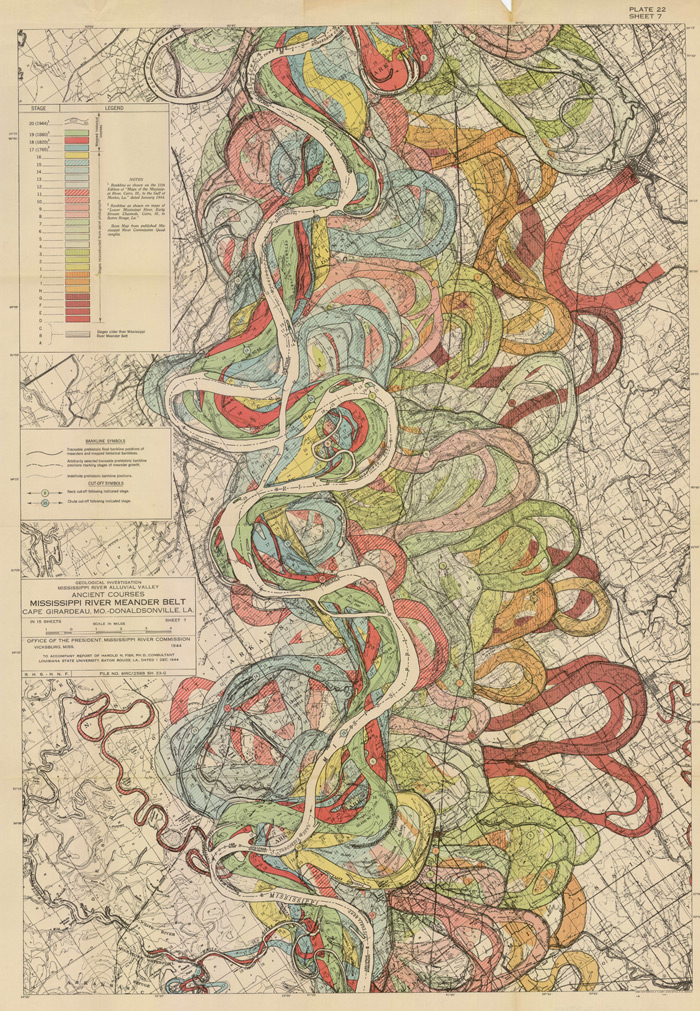
That was achieved in spectacular flourish by Harold Fisk (in the map above) in 1944 in his Geological Investigation of the Alluvial Valley of the Lower Mississippi River (U.S. Department of the Army, Mississippi River Commission, 78p) The map showed the very ghost trails of the river over time, and trying to show where it wasn’t was the great question. He tried to reveal the history of the valley by mapping and dating all physiological features of the river and tried to reconstruct the channel changes with what were to become speculative appreciation. Nevertheless, he did make a tremendous attempt at explaining the courses of the Mississippi over time by utilizing his own excellent maps and a little generative thought. This might not be the most accurate map of the courses of the Mississippi over time, but in 1944 it was really a spectacular achievement in cartography and general thought. And the thing was just drop-dead beautiful.
Here’s another sample from the suite of maps:
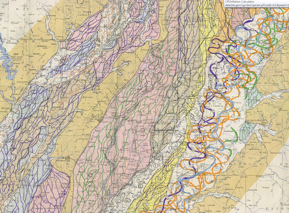
[Source: http://biotech.law.lsu.edu/climate/mississippi/fisk/plate_15-1.pdf]
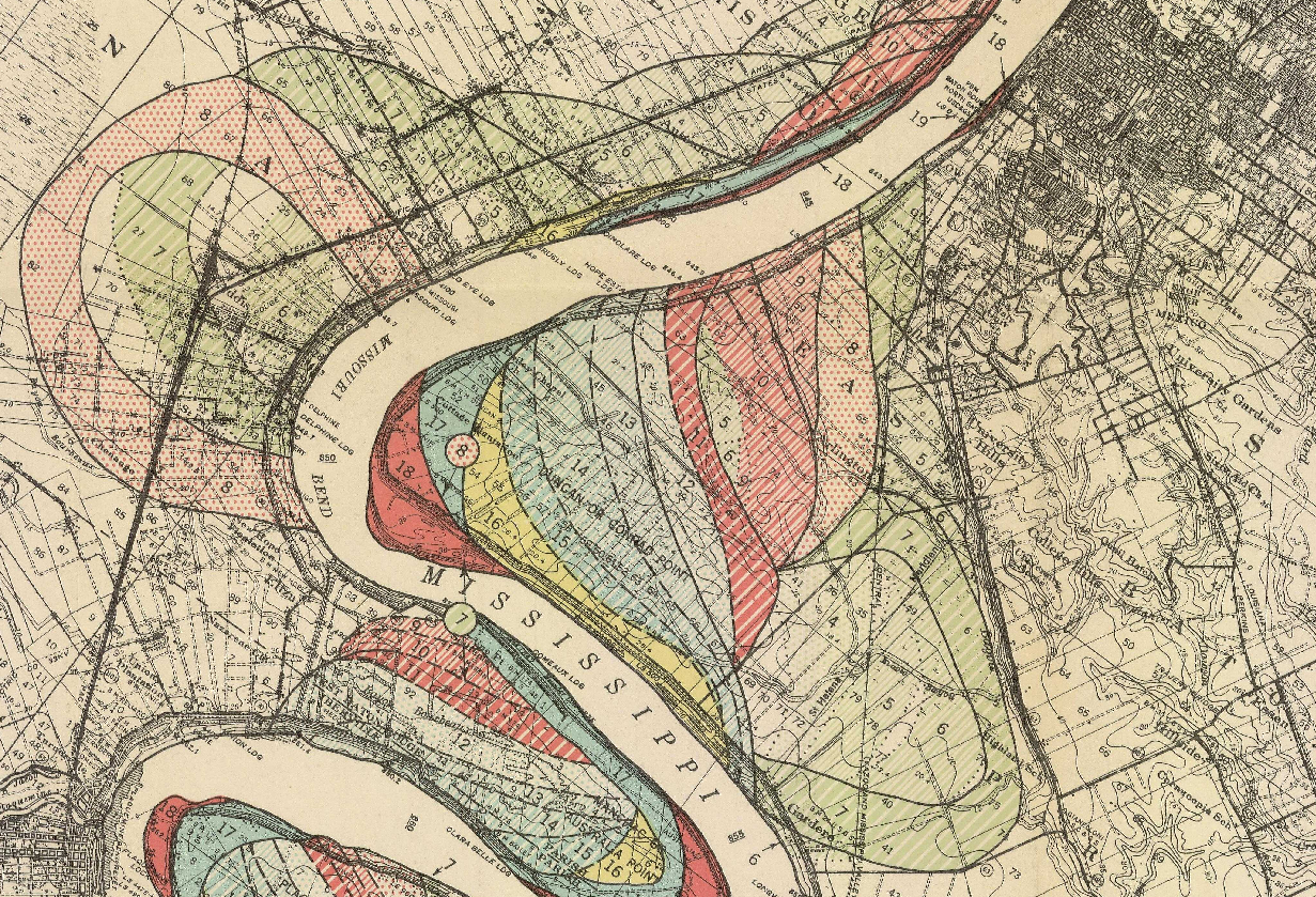
And another detail, from map 15, in the vicinity of Baton Rouge:
- The full text is available here from the LSU library: http://biotech.law.lsu.edu/climate/mississippi/fisk/fisk.htm
- For a very quick, elegant overview see Radical Cartography which has all 15 of the maps displayed at once, along with a key chart : http://www.radicalcartography.net/index.html?fisk
- Also go to the U.S. Army Corps of Engineers site and click on the “Fisk oversize” link in the left-hand “documents” column: http://lmvmapping.erdc.usace.army.mil/index.htm
Lloyd’s new map of the Mississippi River from Cairo to its mouth:
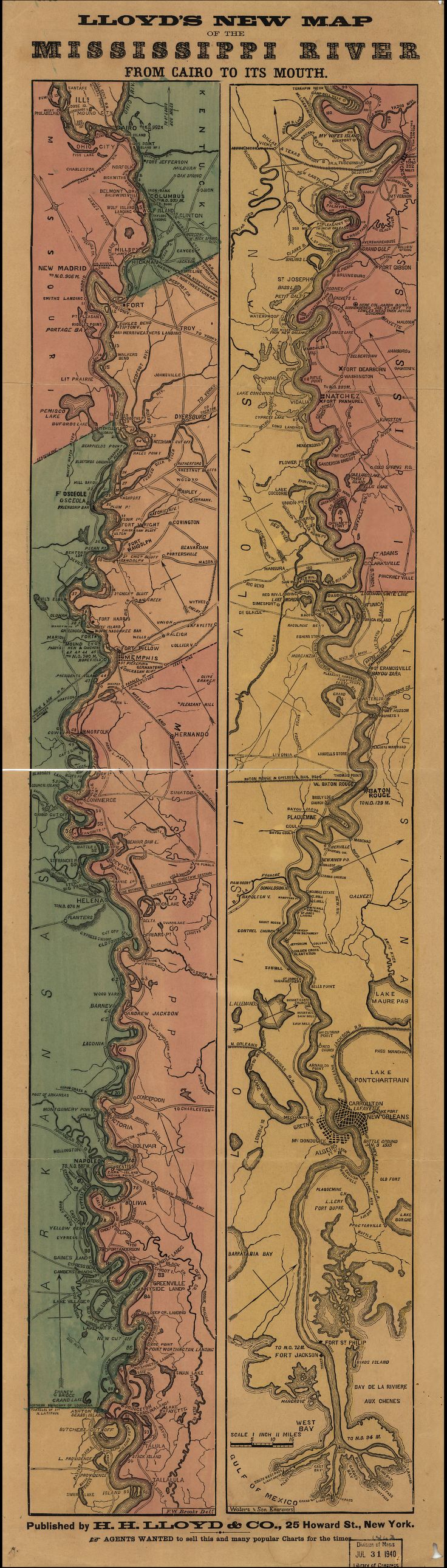 [Source: Library of Congress, http://www.loc.gov/item/99447107/]
And the great “Ribbon map of the [Fa]ther of Waters.Created / PublishedSt. Louis, Mo. : Coloney & Fairchild, 1866”:
(Very zoomable version here: http://www.loc.gov/resource/g4042m.ct000797/ The initial image comes up about 4mm wide (1)–don;t be discouraged, just start clicking away at the magnifier and it will zoom right in…)
Mega-long scroll follows: