JF Ptak Science Books Post 2457
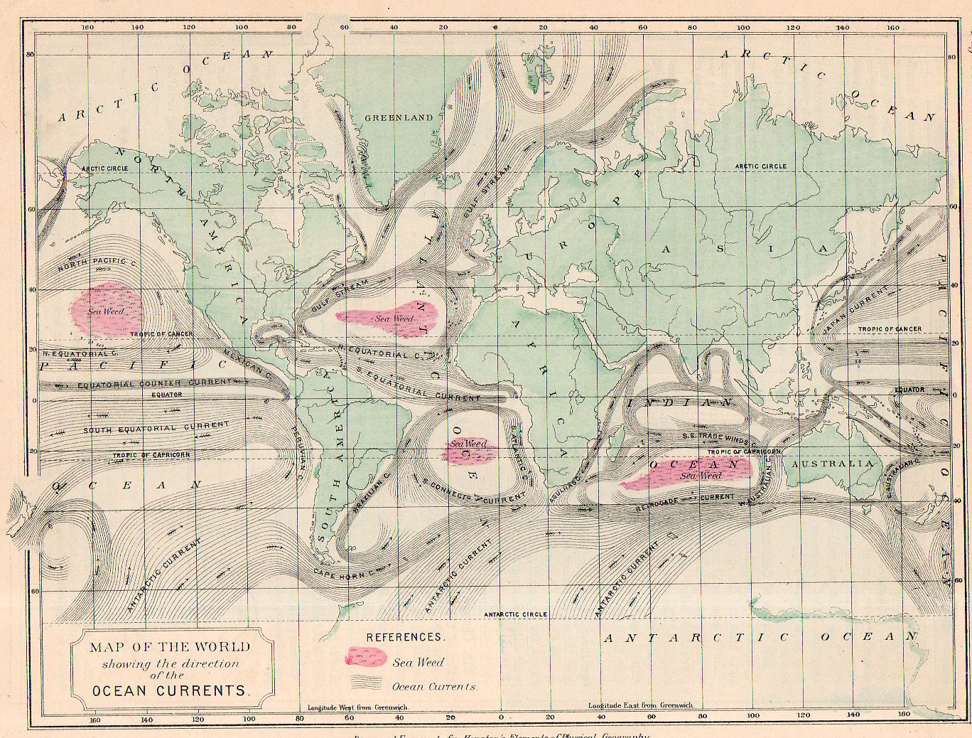
I think that if you squinted your eyes a little to deform your visual field and then looked at this map of the Earth’s ocean currents that what you might see is…Mars. At least that’s what I can see if I concentrate on it, or at least the Mars of 1880 or thereabouts, with its large and blotchy seemingly mobile and ambiguous forms skirting around the planet.
- “This map may be purchased at the blog’s bookstore, here.
That said this map does represent a high achievement, displaying the elements of the still young-ish science of oceanography (or at least in the form presented by Matthew F. Maury) and showing the movements of the ocean currents.
This maps comes about a century after the first map to truly distinguish the Gulf Stream (the B. Franklin/Folger map of 1768-1785) and shows the remarkable activity that must have come with the acquisition of the data necessary to show on even this popular map. There were earlier attempts, of course, notably by the great/problematic Athanasium Kircher in his Mundus... of 1662 though his effort was largely theoretical (and for what it was worth likened the currents to something similar to blood moving though the body, which at least used the work of William Harvey) given the lack of available hard data. (Eberhard Happel is on a similar wavelength as Kircher with the currents map, and published his map a few years later, though he was mainly a science popularizer who “relied” heavily upon the Kircher map and was nowhere near to being Kircher’s intellectual rival, his map is still interesting given its very heavy lining and beauty.)
In any event, the Houston map is clear and concise–and given its 7″x 9″ size, remarkably compelling.
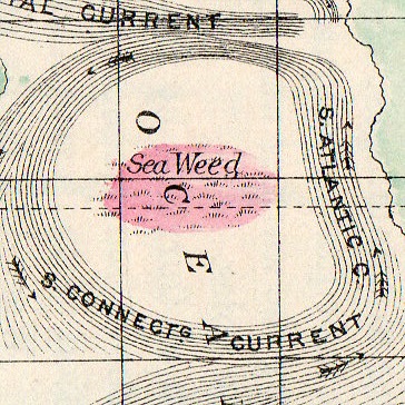
And I just love the seaweed mapping.