JF Ptak Science Books Quick Post
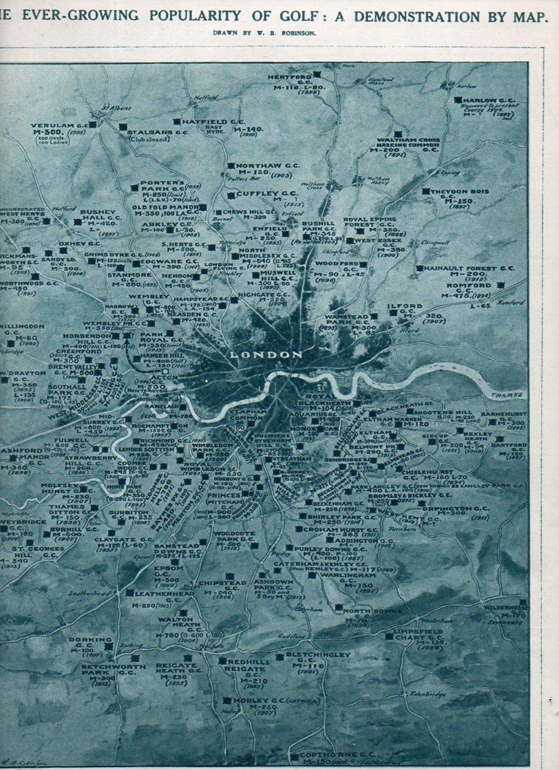
I just happened upon this, but since it is the British Open and all I though to publish it here. The map was composed for the Illustrated London News, 3 July 1920, by W.B. Robinson. It shows the number of links around the city of London–seems like a lot to me, and this data doesn’t even include miniature golf, which was very big at this time. The Key: M = a “membership” club; L = Ladies; A = “associate”, and the year underneath is the year the course was organized. The game is evidently older in Scotland, but around London golf dates to the time of James I.