JF Ptak Science Books LLC Post 687 Blog Bookstore
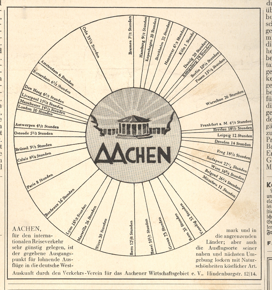
This graphi-map isn’t so odd or unusual, and the data it presents isn’t deep or wide or complex, but the image is still very compelling–its simplicity and design the basis for its eye-catching quality. It takes up about a sixth of the
next-to-the-last advertising page in the 1 April 1932 Illustrierte Zeitung (
really, “pop”. It is a very simple presentation
establishing the centrality of
and that’s about it—simple. And it
works. I’ve seen a number of other “all roads lead to” type of maps like this, but I’m a little stumped on locating them this moment. One of these, a glorious world map of the port city of Wilmington, North Carolina, showing lines of transportation between it and the rest of the world, featuring the only-named-city Wilmington smack in the middle of the map Wilming-Center-of-the-World map. (I think I can gurrantee that this is the only time WIlmington appears so on a world map.)
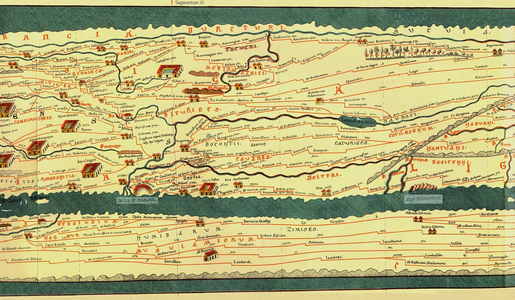
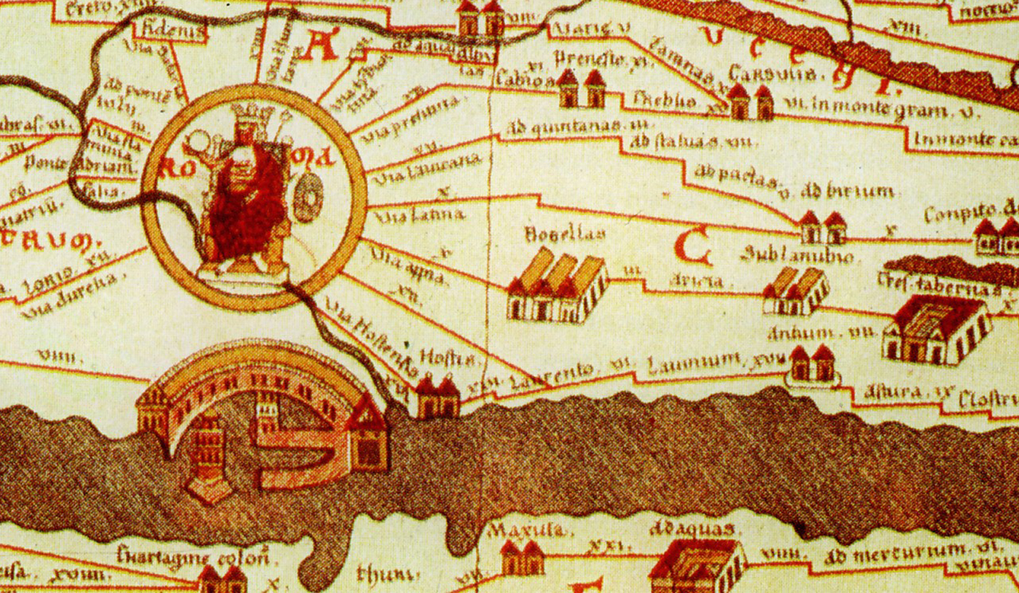
Another example–more fantastic, much older, and far more important–is the Tabula Peutingaria, a 16th century low-Renaissance copy of a third century ACE Roman map of the known world. Now this is a map: it was a spectacular achievement, a road map for the Roman legions to get back and forth in the shortest amount of time, an index for the Italian Autobahn. The map covers the world from Britain and all the way east to India (which was really India, China and all the rest). And of course, we all know where all of the roads lead to.