JF Ptak Science Books Post 2831 History of Lines series
Fresh on the heals of a post a few days ago on Athanasius Kircher’s great map on ocean currents is this famous 1687 map by Edmund Halley1–it is recognized as the first meteorological map ever printed, and depicts the trade winds:
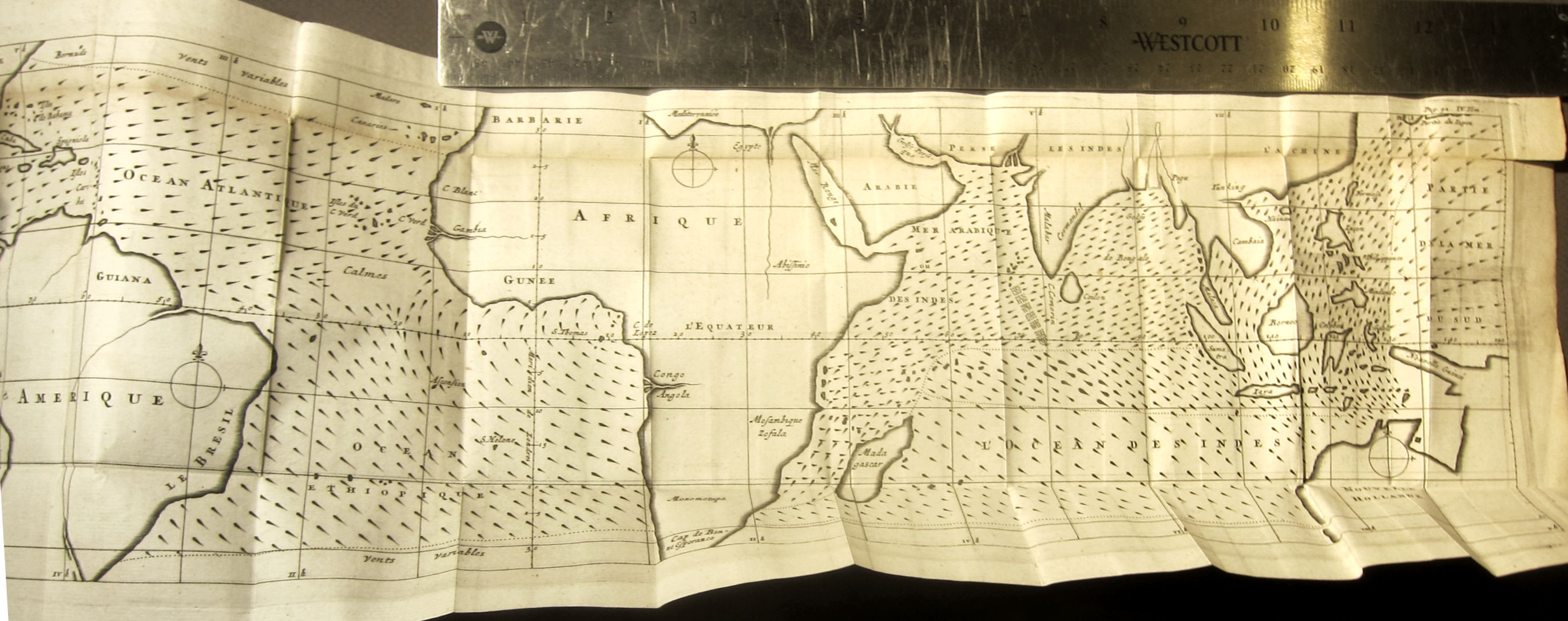
This is the French translation of Halley’s “An Historical Account of the Trade Winds, and Monsoons, Observable in the Seas between and near the Tropicks, with an Attempt to Assign the Phisical Cause of the Said Wind,” that appeared several months earlier in the Philosophical Transactions of the Royal Society (1686, in issue no. 183).
Here is a summary of the map from the Princeton University site dedicated to thematic maps: