JF Ptak Science Books Quick Post
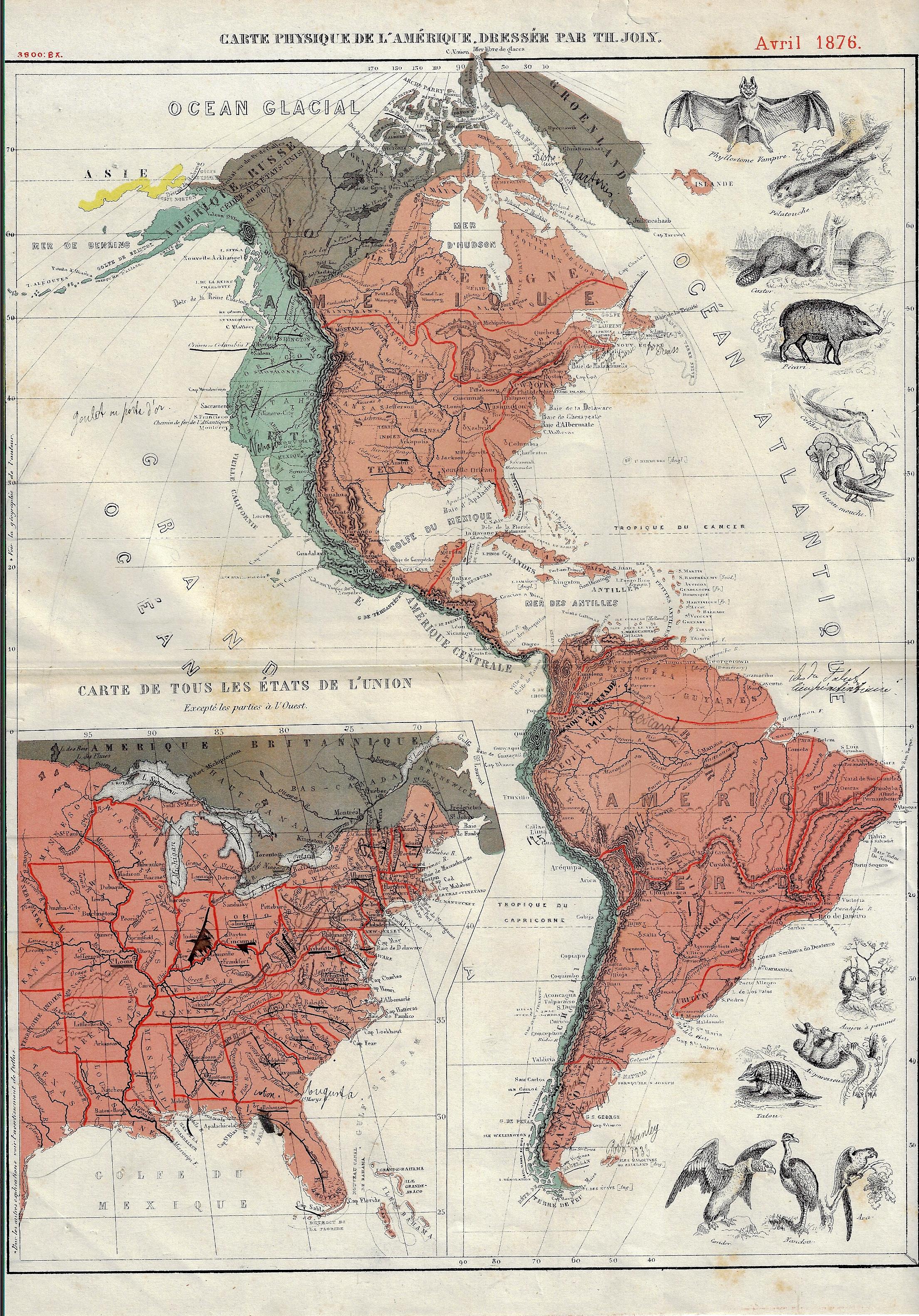
I’m not sure what it is, exactly, that gives this map it unique flavor(s)–to my experience, it has an undeniable “difference”. The map (“Carte Physique de l’Amerique…1” with a smaller inset map of the United States) was published in the U.S. Centennial year of 1876, and aside from the obvious imagery of the animals, there is also the exceptionally small typeface in the detail, the somewhat unusual color combinations (of rose, aqua, and brown), and the great amount of detailing done in red, all of which taken together is unusual to my experience. That said, there is really not a lot of physical geography detail in the map outside of a good representation of rivers and some brief entries for mountains–and the ten animals.
Notes:
1. The full title: “Carte Physique de l’Amerique dressee par Th. Joly”, Avril 1876, and published in Grand atlas classique de Géographie Moderne, moyen-age et ancienne, contenant les figures des animaux et des plantes les plus remarquables de chaque pays, a l’usage de l’enseignement secondaire, printed in Bruxelles by A. Decq et J. Rozez, first published in 1871/2, 22,5 x 34,5cm.