JF Ptak Science Books Quick Post
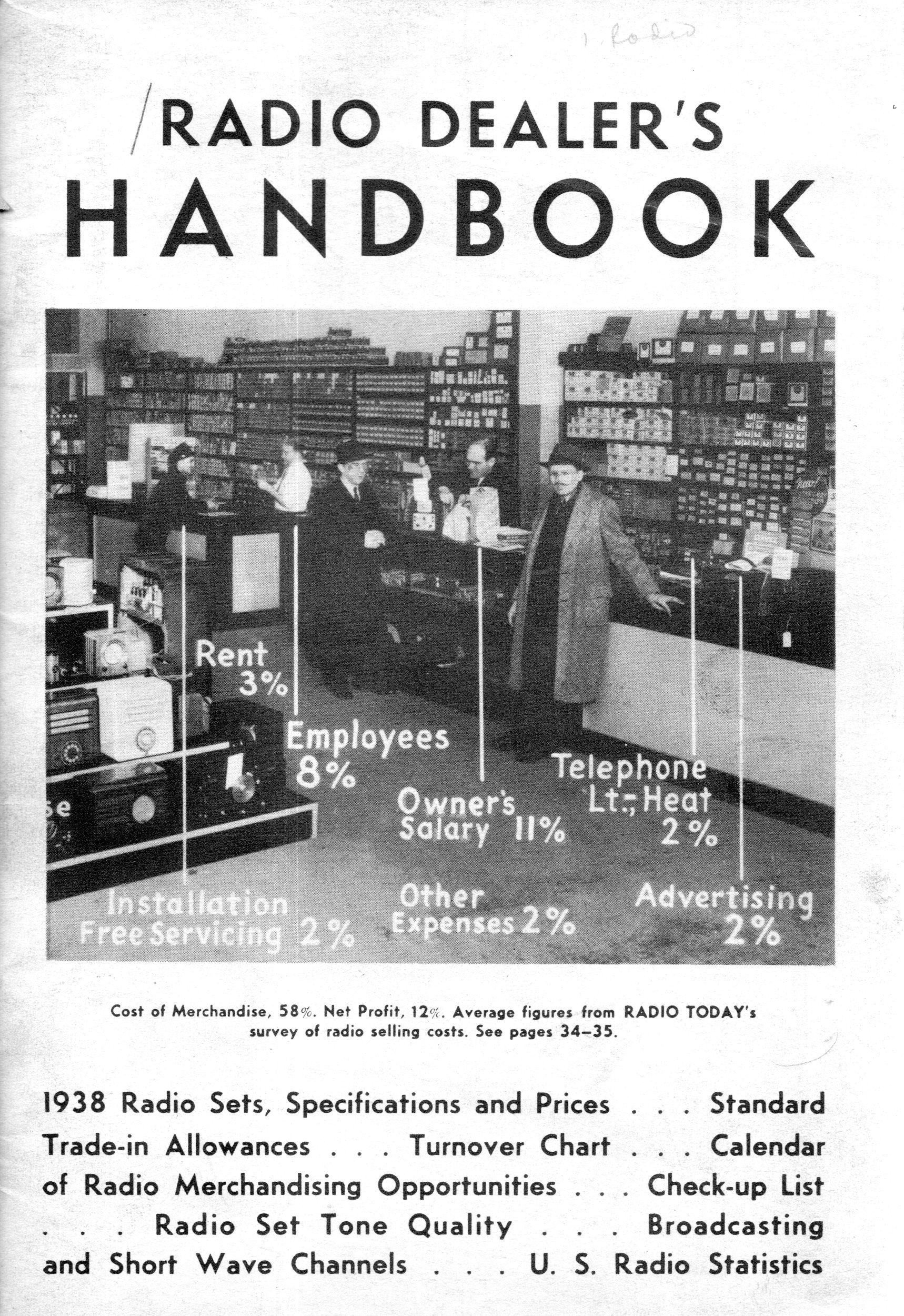
To read the title of the pamphlet The Radio Dealer’s Handbook (1937) in a sales catalog would do little to excite any particular zeal, though to see its cover probably would spark an interest enough to at least browse the pamphlet. And browsing was a happy thing, as I found several infographics,including a terrific map of the U.S. showing the states in proportionate sizes according to radio ownership. Well, it shows the U.S. and Canada, which evidently sported as many radios as Massachusetts and exists on this map looking very much like a mini-U.S. It also seems as though radio ownership in the Dust Bowl regions was very restricted, the land area north of Oklahoma to the border is about as thin as a swizzle stick.
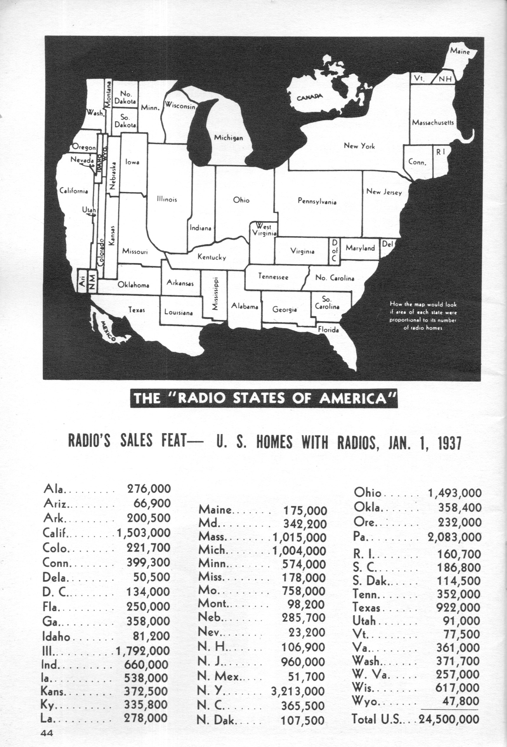
And a graphic representation of how well radios reproduce various sounds (that was to be used by radio salesmen in influencing their customers’ selections):
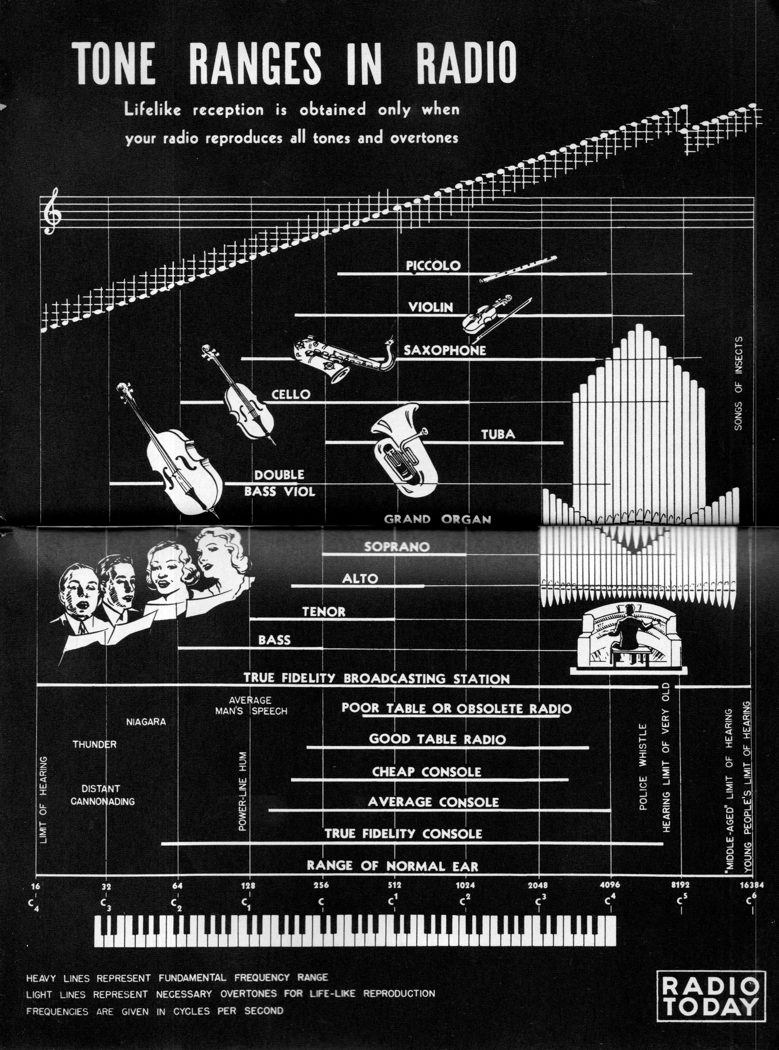
And the very seldom seen layout of a radio shop:
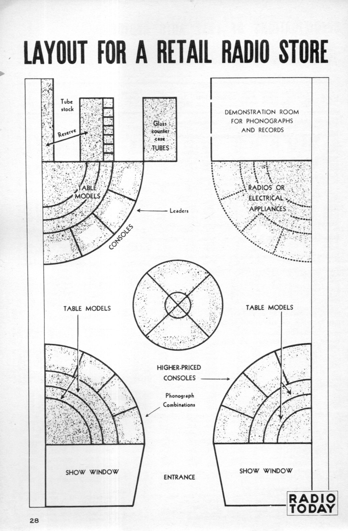
And the cover of the pamphlet and source of these images: