JF Ptak Science Books
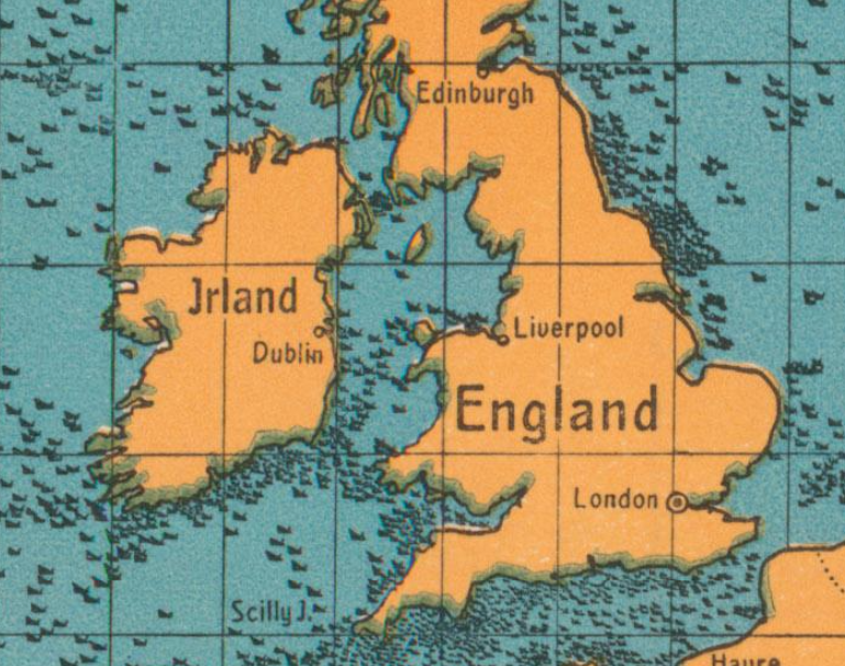
This is a pretty stark reminder of just what was going on in the waters around Great Britain in 1917–it is a postcard propaganda map showing the gross tonnage of ships sunk by U-Boats for 1917:
[Image source: P.J. Mode’s wonderful collection of what he refers to as “Persuasive Maps”, now housed at Cornell University.]