JF Ptak Science Books Quick Post
I found this fabulous map of concentrations of U.S.A. (1944) traffic flow somewhere in the hinterlands. When I started to research its origin I found that the background and story of the map and its source is dealt splendidly by Eric Fischer in a 26-photo Flickr set here: https://www.flickr.com/photos/walkingsf/albums/72157632238833323
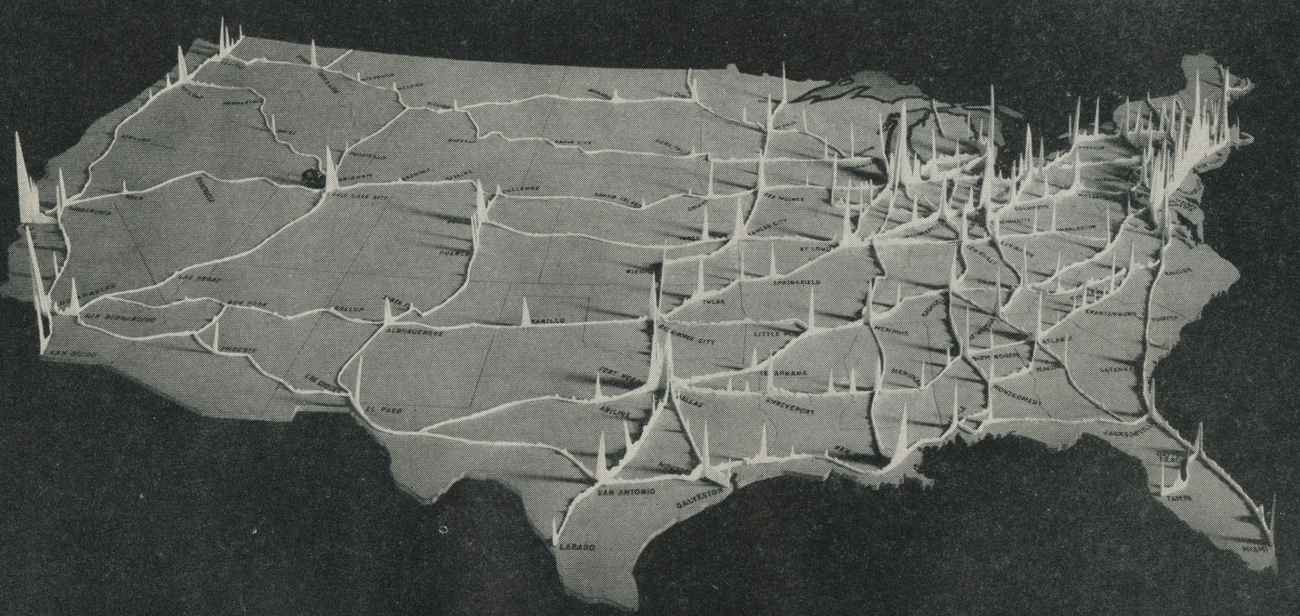

[Source: Interregional Highways: Message from the President of the United States Transmitting a Report of the National Interregional Highway Committee, Outlining and Recommending a National System of Interregional Highways, January 12, 1944.]