JF Ptak Science Books Quick Post
I do not unfortunately have much information on this very interesting (and to me unexpected) map, nor do I know very much about the history of Japanese militarism and planning 1925-1935–I do though want to at least post/share it for interested parties.
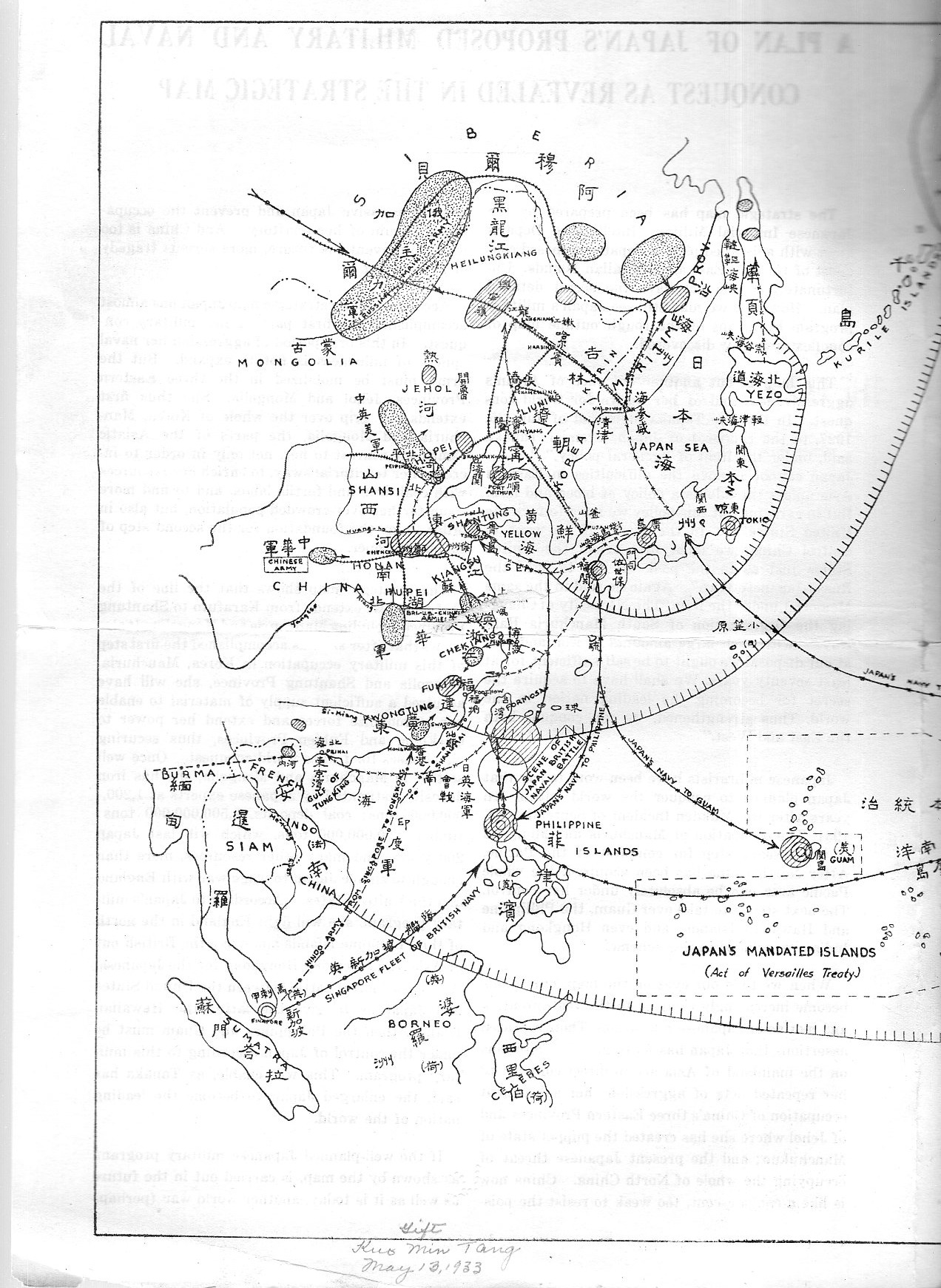
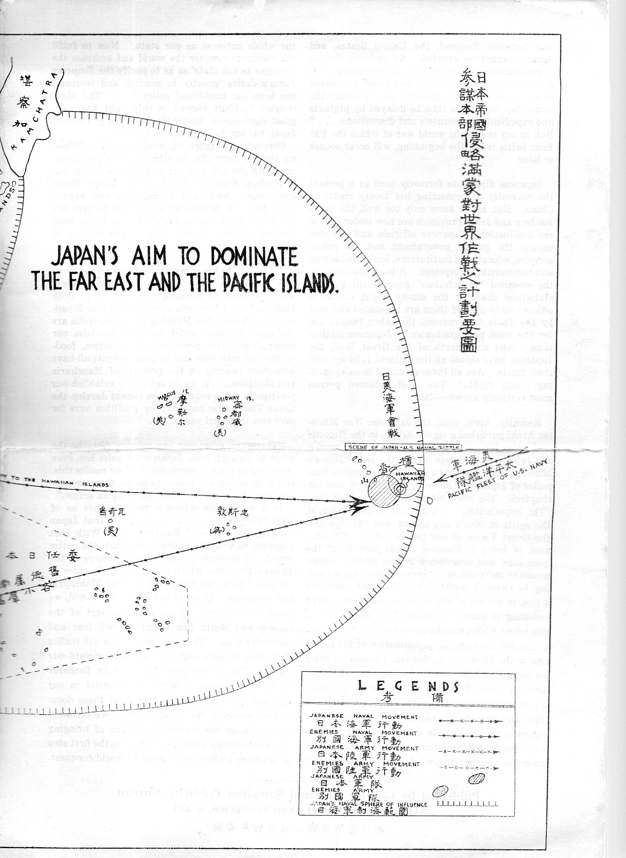
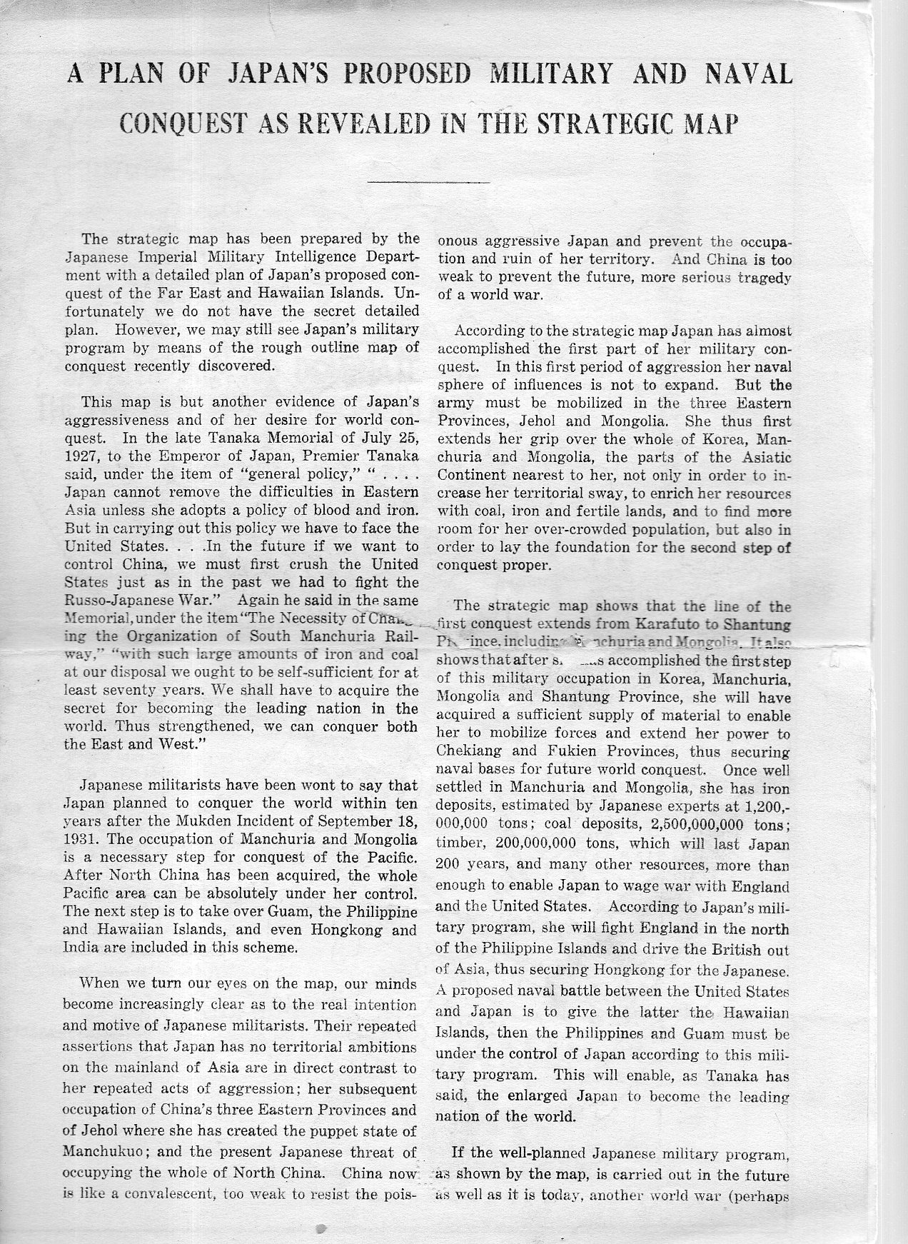
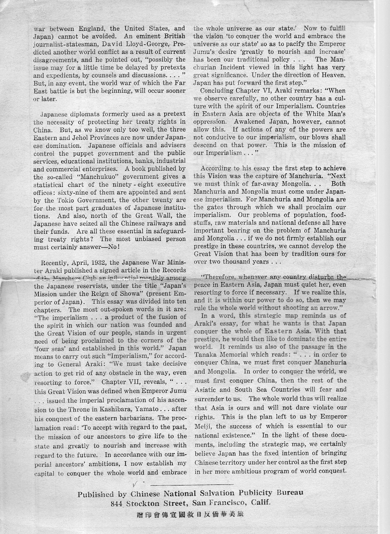
A Plan of Japan’s Proposed Military and Naval Conquest as Revealed in the Strategic Map appears no later than 1933. The single-sheet folded pamphlet contains two pages of text along with the middle two sheets of the map, “Japan’s Aim to Dominate the Far East and Pacific Islands”. The document was part of a very large collection I bought of the Library of Congress, and according to the pencil notes on the pamphlet it was sent to the L.C. by the “Kuo Min Tang” on May 13, 1933. (It was curious to see the KMT referred to as though it was someone’s name, rather than a political party begun in the People’s Republic of China in 1894.)
This is a piece of anti-Japanese propaganda coming from the KMT, and it is published by the Chinese National Salvation Publicity Bureau (844 Stockton Street, which looks today like it is the Sun Yat-Sen Memorial Hall) in San Francisco, After all, the Japanese had been savaging around in China on and off since the First Sino-Japanese War at the end of the century, and then again heating things up in the early ‘thirties with the Japanese-instigated the Shanghai War and the invasion of Manchuria–the Chinese no doubt were seeking allies wherever they could them.
There are a lot of lines of conquest on this map, encompassing nearly all of South East Asia. The largest sphere of “influence” extends all the way to the Hawaiian Islands, where the Japanese would take the islands by a “naval battle” with the U.S.
I’ve checked WorldCat for other copies and found only one mention–same thing for the internet.
This map is available for purchase via the blog’s bookstore, here.
Full text follows: