JF Ptak Science Books Quick Post
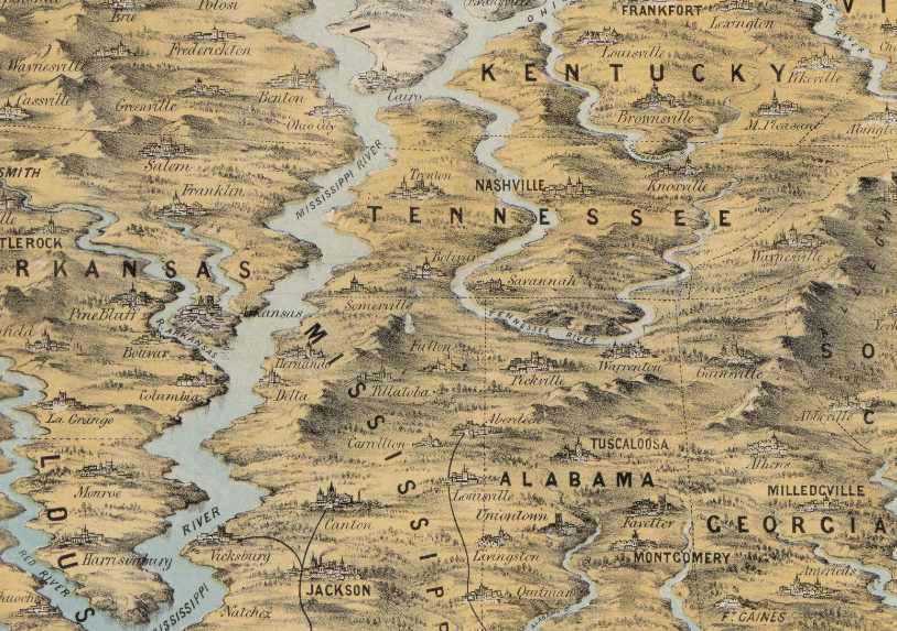
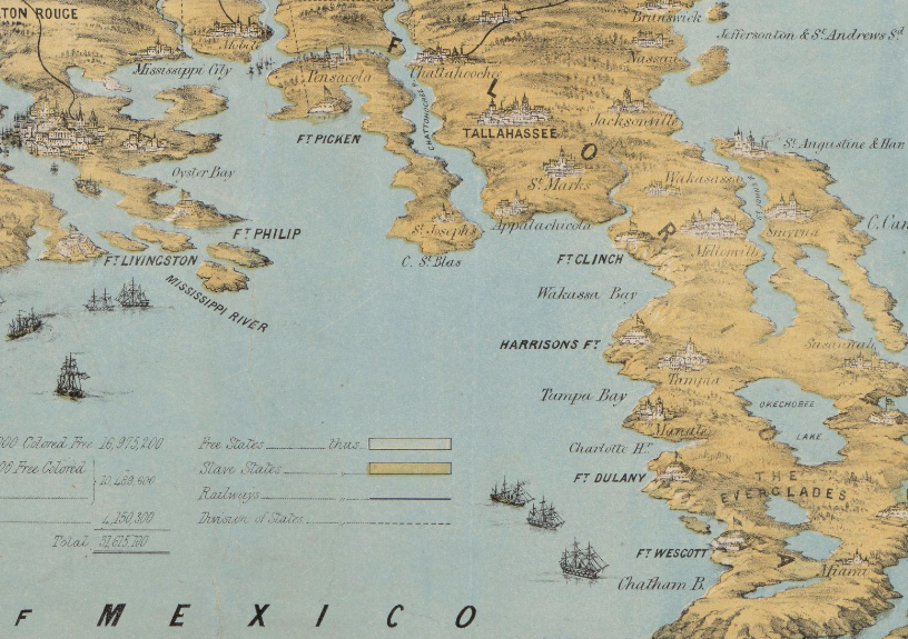
The cartographer responsible for this unusual map successfully emphasized the rivers and mountains of a region–so much so that they are mostly completely out of perspective/scale to the other elements of the map. The effect is magical.scary/startling in some ways, especially when you look at the detail for places like Florida and points along the Mississippi River. They remind me of J.G. Ballard’s The Drowned World, particularly with Florida, which look to be mostly submerged. I know what the cartographer was trying to achieve in establishing the importance of natural boundaries, but this was probably a little overboard, so much so that he may have lost the “c” in “cartographer”.
Here’s a clickable version of the map, with some zoom capacity:
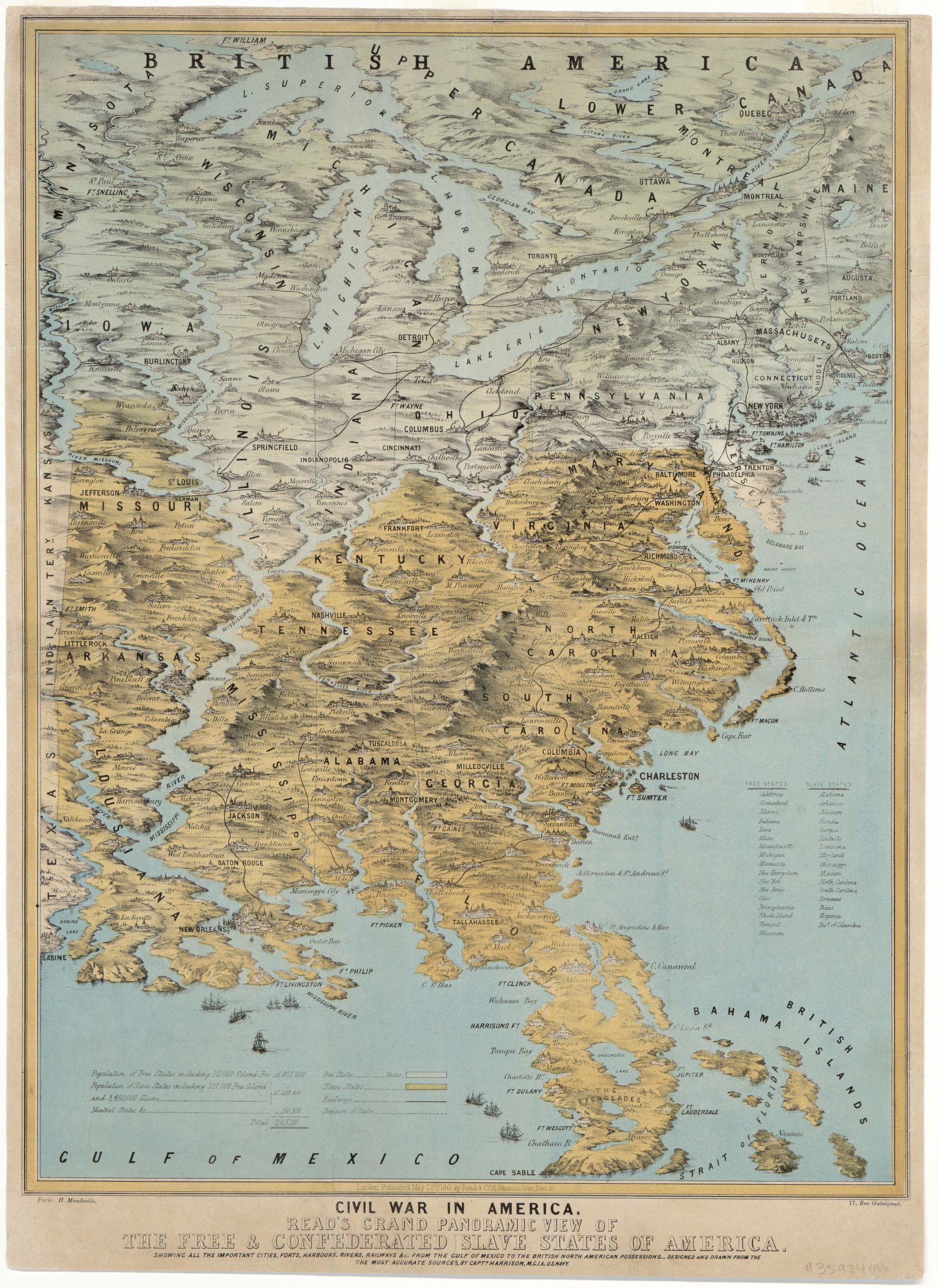 [Source (including all details, below): Library of Congress, http://www.loc.gov/item/2014589394/]
- Civil War in America : Read’s grand panoramic view of the free and confederated slave States of America : showing all the important cities, forts, harbours, rivers, railways &c. : from the Gulf of Mexico to the British North American possessions, 1861
- Read’s grand panoramic view of the free and confederated slave States of America
It seems as though I have seen something similar to this reckoning what the Florida “coasts” would look like according to global warming trends in the next century:
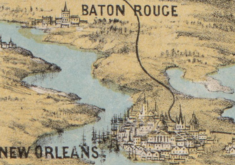
Of all the city profiles the one for New Orleans looks a little like it could be accurate, if for no other reason than for the large number of ship masts:
The Mississippi looks mighty indeed–if this was drawn to scale the river would be 50+ miles wide in many areas: