JF Ptak Science Books Quick Post
I just started reading Nikolaus Wachsmann’s KL, a History of the Nazi Concentration Camps, published this year by Farrar, Straus, Giroux, a daunting and promising 864-page overview/history of the Nazi killing complexes. The very first thing I found when I opened the book–incredibly–was this map, showing the satellite camps supporting Buchenwald. “Just” Buchenwald. It was shocking.
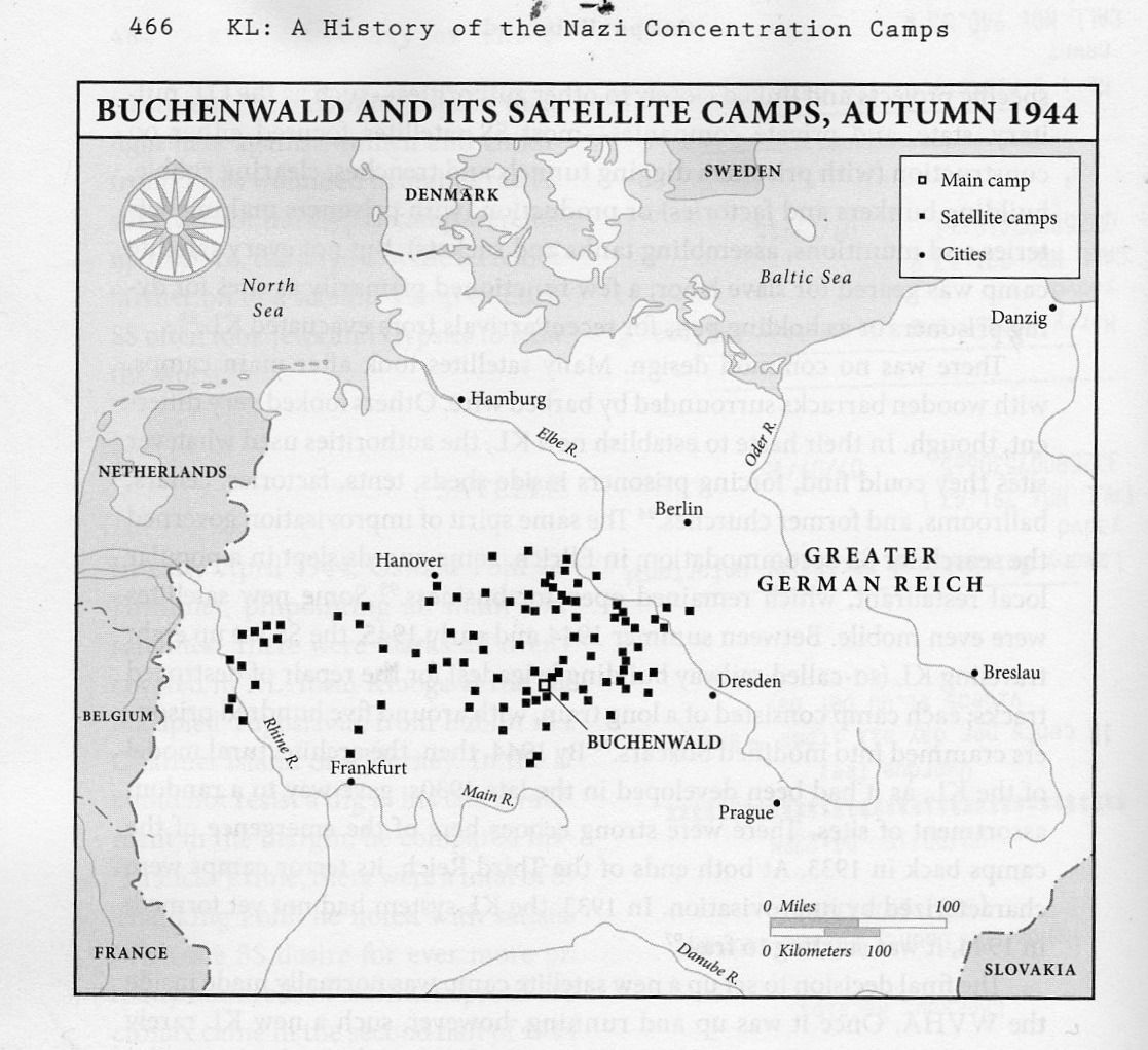
I knew about the support camps, but I must say I never knew how many, how so many, there were of them. Evidently, according to Prof. Wachsmann, there were more than 77 satellite camps for Dachau main camp, and that overall there were probably around 560 (page 464). This was completely unexpected.
I’ll report further on this book when I actually read it–for the moment, though, I wanted to share this devastating map.