JF Ptak Science Books (Post 1343–expanded)
Frederick Erastus Pierce (1878-1935) is the creator of the extraordinary The Tenement-House Committee Maps: printed on one sheet of paper for Harper’s Weekly in 1895, Pierce presents his data on the distribution of the population of Manhattan with two maps, one showing the densities of Manhattan populations (on top) and the other the distribution of nationalities (at bottom).
[I should point out that the original of this map is for sale at our blog bookstore, here.]
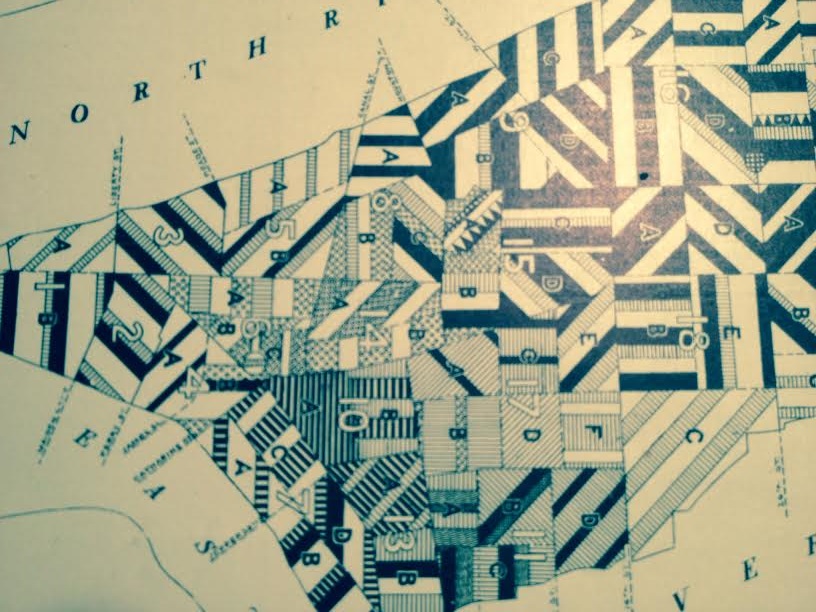
Here’s an overall view of the maps–this example from the Library of Congress, as I could not make an accurate image of the one I have here–I do include some details of the maps from my own copy, however, which are found just above, with several below.