JF Ptak Science Books Quick Post
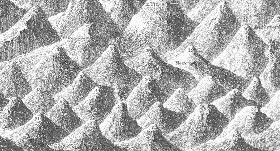
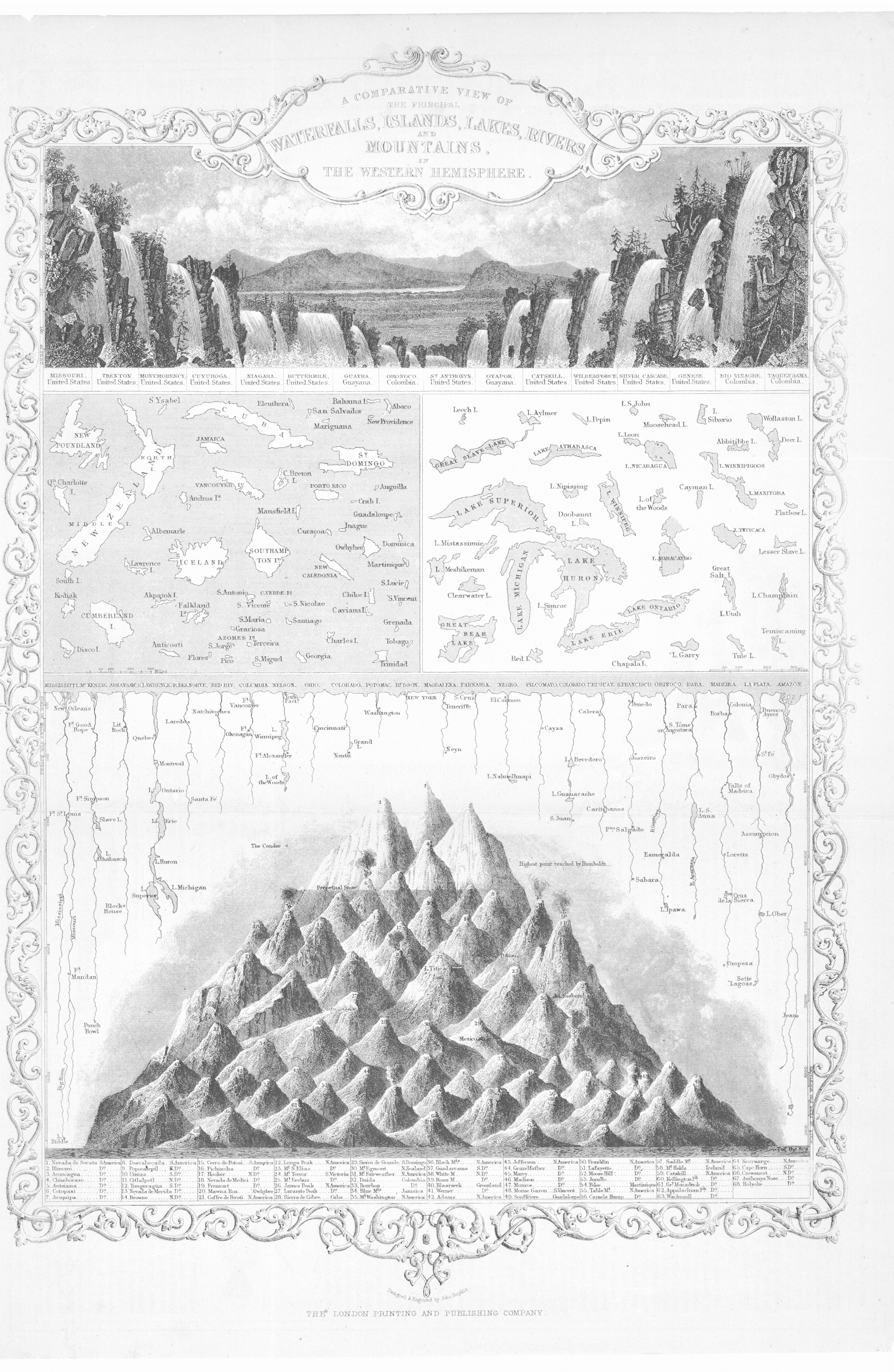
The 1850’s may have been the heyday of atlases appearing with illustrations of comparative river lengths/mountain heights; from 1840-1880 or so was the period in which the majority of descriptive comparatives were published. This is when you would see images of the lengths of rivers and the heights of mountains and waterfalls beautifully displayed in atlases, everything visually presented in high design and memory-forming fashion. I don’t know what happened after 1880, but the publication of this sort of data in beautiful and provocative formats really fell off, with the heights of mountains/lengths of rivers stuff relegated to filling the empty areas in the corners of double-hemisphere world maps.
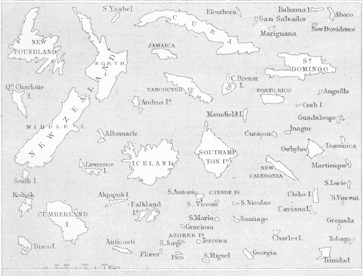
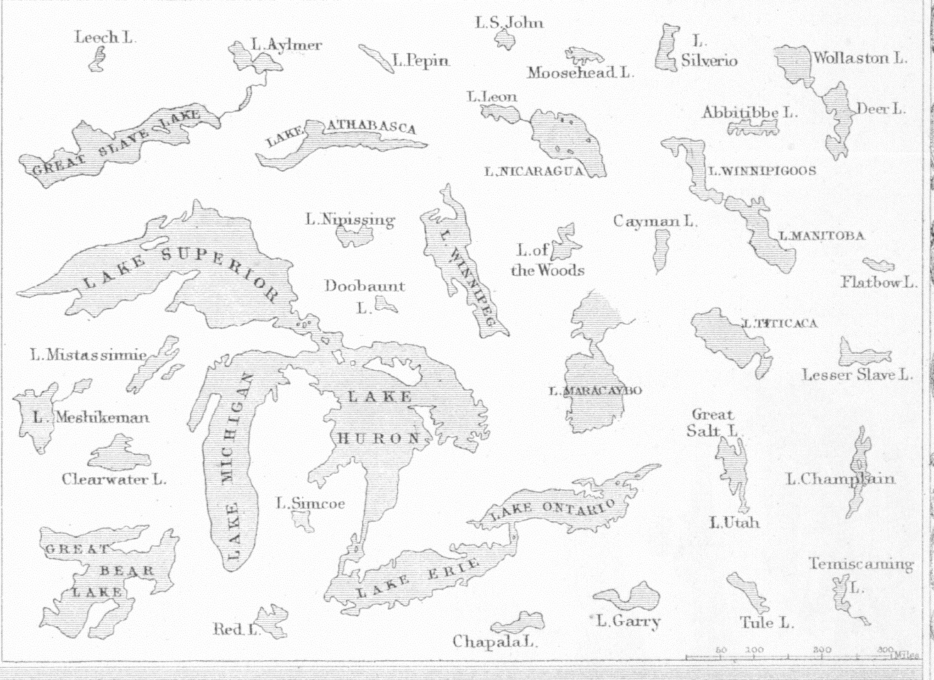
The example below (from R. Montgomery Martin’s Illustrated Atlas, 1851) is interesting because in addition to the standard mountain/river material, there is also the height of waterfalls; and, in a move that was probably very early as a practice, there are two sets of images that show lakes and island compared to one another on the same scale. Of course maps are composed of data that is necessarily set in the same scale, but here we see just the lakes and just the islands removed from their context and laid into a pool of similar objects. It is a mystery why this would’ve taken so long to happen, but it is also the case that the first comparative architecture depicting different buildings placed in an illustration that were on the same scale did not occur until the work of J.N.L. Durand in the surprising “late”year of 1800 (in his Recueil et parallèle des édifices de tout genre…), which is a curious thing.A Ver
And the detail of the lakes and islands: