JF Ptak Science Books Quick Post
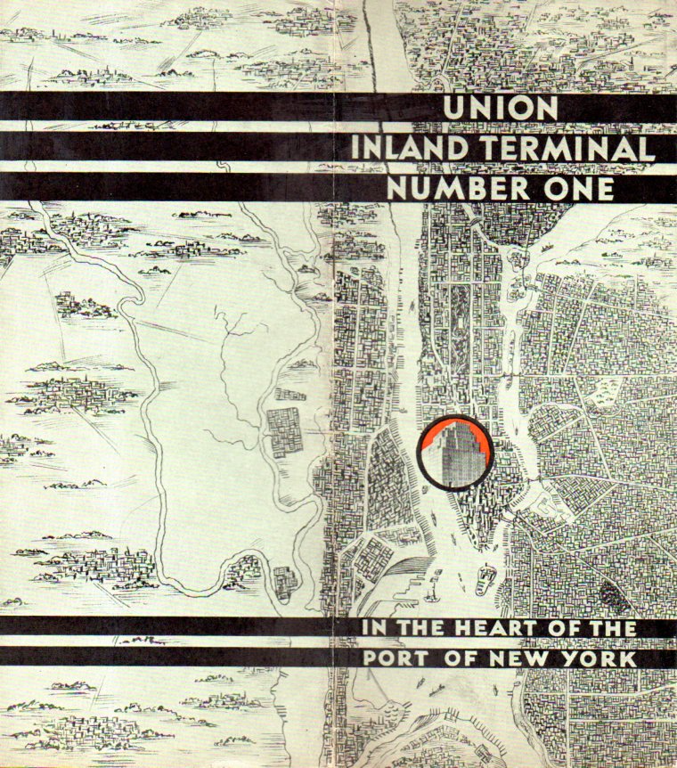
I found this fine map decorating the front and back covers of an interesting pamphlet called Union Inland Terminal Number One, in the Heart of the Port of New York, which was published in 1931. This was an advertising vehicle publicizing the coming building, which was built by the Port Authority in 1932. It was a transport/shipping hub for trucking, handling tons and tons of freight from the port. The building was enormous–at about 3,000,000 square feet, it was the largest building in NYC until 1963. It stands today as a mixed-use building at 111 Eighth Avenue (between 15th &16th, 8th & 9th). In any event, the pamphlet design is lovely–the image below shows it open, front and back.