JF Ptak Science Books Quick Post

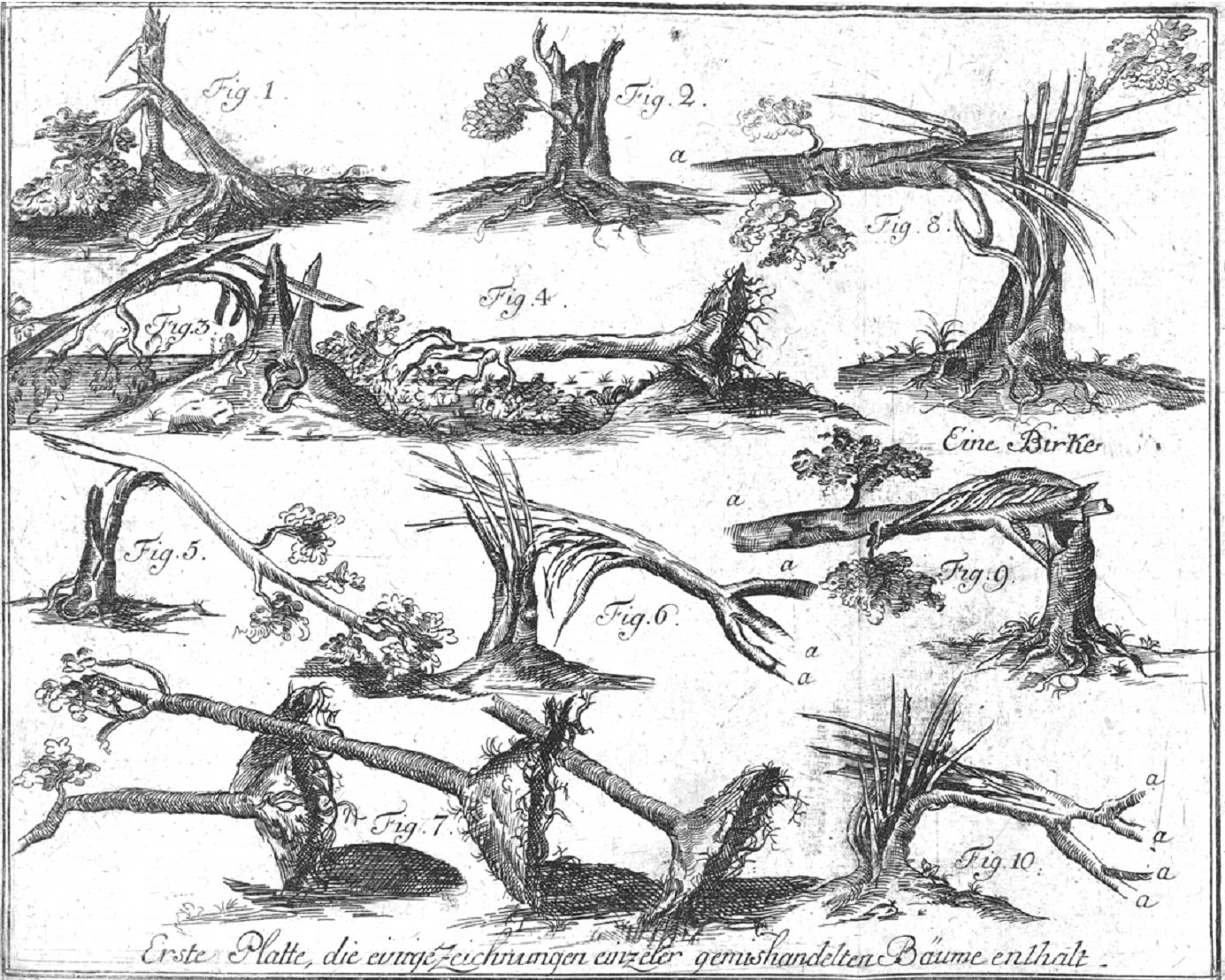
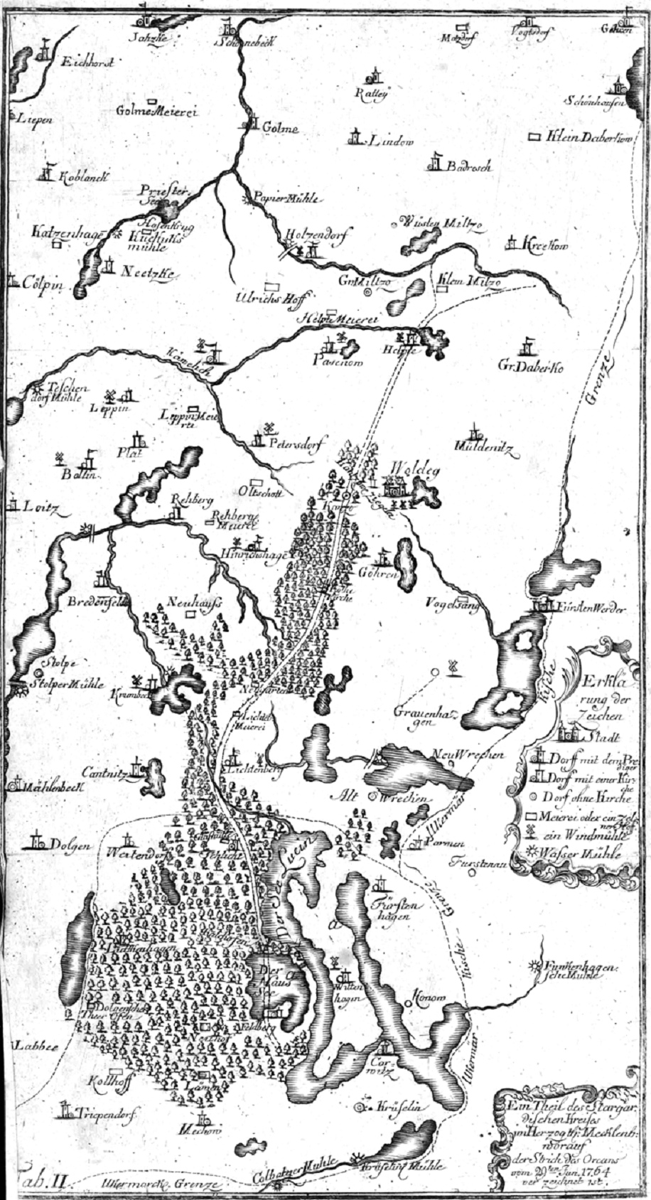
In my experience antiquarian images of trees damaged and destroyed and torn up (and “enormously devastated”) by tornadoes are very uncommon things–ditto maps of the paths of tornadoes. (I found this image via a very interesting but seemingly unnamed blogsite, located here, dedicated to early images of waterspouts and tornadoes.) They are found in Gottlob Burchard Genzmer (1711-1771), Umständliche und zuverläßge Beschreibung des Orcans welcher den 29. Jun. 1764 einen Strich von etlichen Meilen im Stargardischen Kreise des Herzogthums Mecklenburg gewaltig verwüstet hat, published by Friedrich Nicolai, in Berlin (and Stettin), in 1765. [Full text]
In any event, I have not much to say on these images save for the fact that I find them to be extraordinary, and wanted to share.