JF Ptak Science Books  Post 2022
Images of rivers and oceans in 16th century maps can be beautifully-rendered objects. Water can appear as lines thick and languid, curling and wavy, sparse, tentative, adventurous, willing, dashed, timid. Cold. Mostly cold, and full of loneliness and foreboding. And sometimes the sea is just a blank–it is more common to see blank skies in engravings and woodcuts before, say, the 1540’s, but the blankness is usually covered by rhumb lines and compass roses and lines of longitude and latitude, compared to the blankness of blank skies, where there is usually nothing to spare us from the blank.
Today I’d like to have a look at the strong and long lines delineating activity in water as the first part of a short series of posts looking at the design of the representation of water by lines. Then, when the lines are done, we’ll take a look at dots.
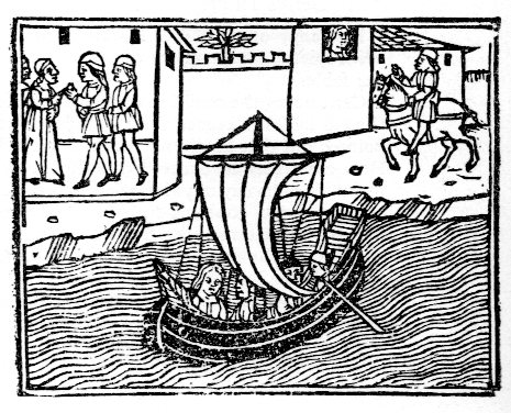
This example occurs in Masuccio Salernitano’s (Tommaso Guadati, fl. c. 1476) Novellino, published in Venice by Bartholomeo Zanni in 1510, a tall book of a Decameron-ish flavor, with 50 stories told in five sections, mostly of a waning erotic nature. The lines here are long and very languid. I also like the face in the window.
 This complex of lines illustrates the map of Africa found in Montalboddo Fracan’s Itinerarium Portugallensium, which was about the earliest published collection of Spanish and Portugese travel and exploration relating to the New World. The work was exceptional and very significant–and very popular, going through fifteen editions in 22 years to 1528.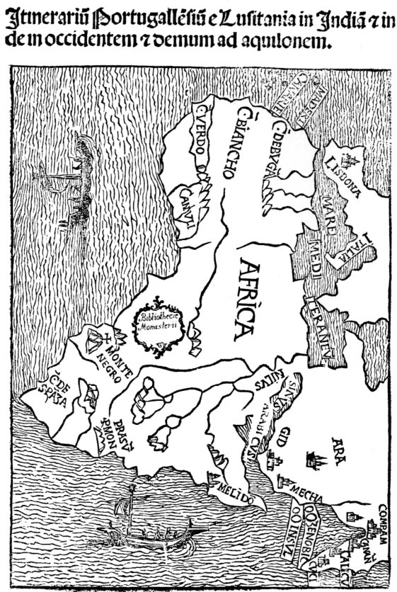

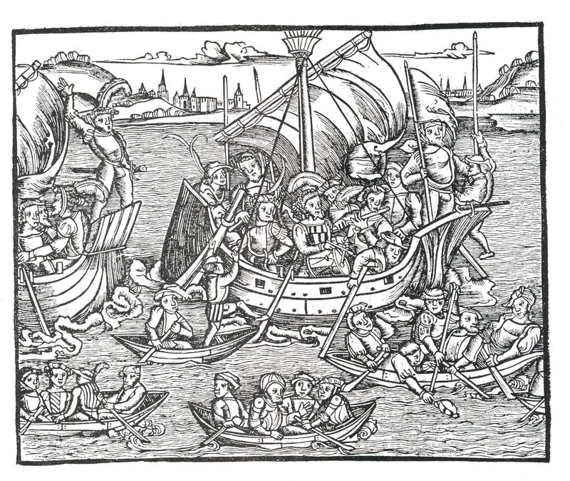
Titus Livius (59 BCE-17 ACE), better known to the English-speaking world as Livy, was a superior among superiors of Roman historians, writing on the history of his city and country. His work, Romische Historie…,published in Mainz by Johann Schoeffler 1450 years later in 1514, was one of the most beautifully illustrated books ever produced in that city. This is a considerable statement, as Mainz was the birthplace/hotbed of moveable type printing, being home to Johann Gutenberg and a number of other early presses.
One of the most famous printed water scenes is from the (numerous) editions of Christopher Columbus’ letter describing his voyage to the New World. It was written (or at least finished) soon after his arrival in Lisbon 4 May 1493, almost exactly 520 years ago, and quickly found its way into print. This image (depicting Hispaniola and Isabella) was printed in Basel in 1494, and served to illustrate the somewhat hopeful and inflated description of what he found on his new voyage.
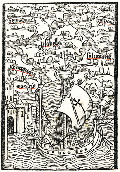
[Source: Wiki, here.]
This image from the mid-16th century is found in the fantastic work on the history of Scandanavia (and etc.) in Olaus Magnus’ Histotria di gentibus septentrionale (“History of the Northern Peoples”, 1555).
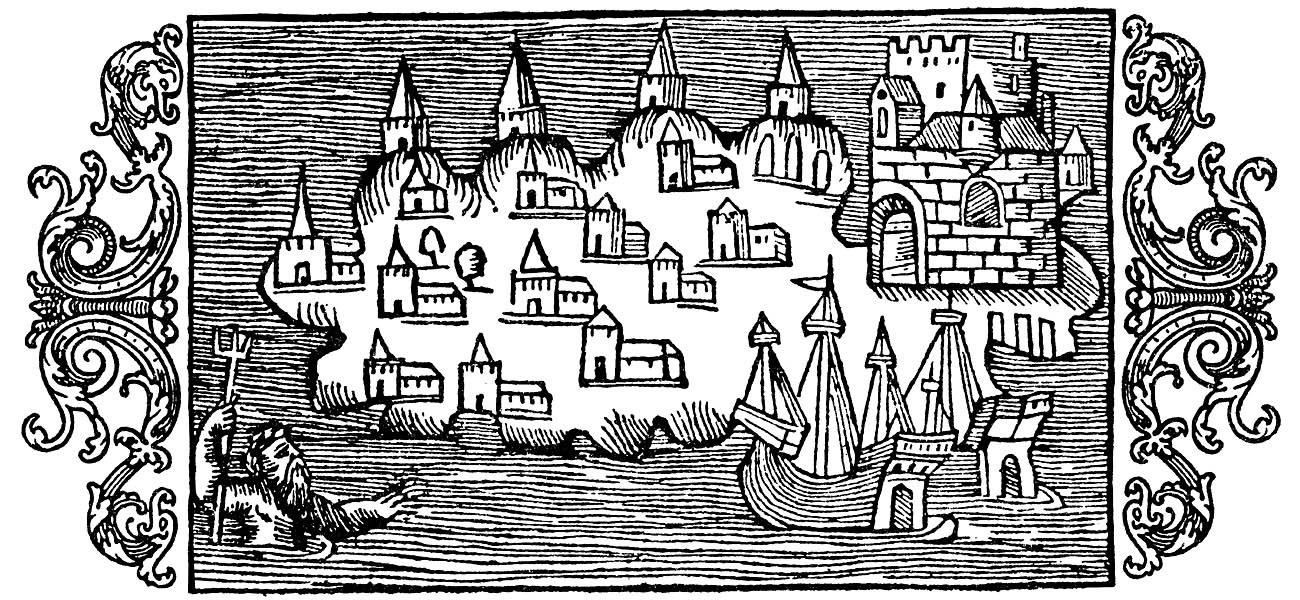 [Image source: http://www.avrosys.nu/prints/index.htm]
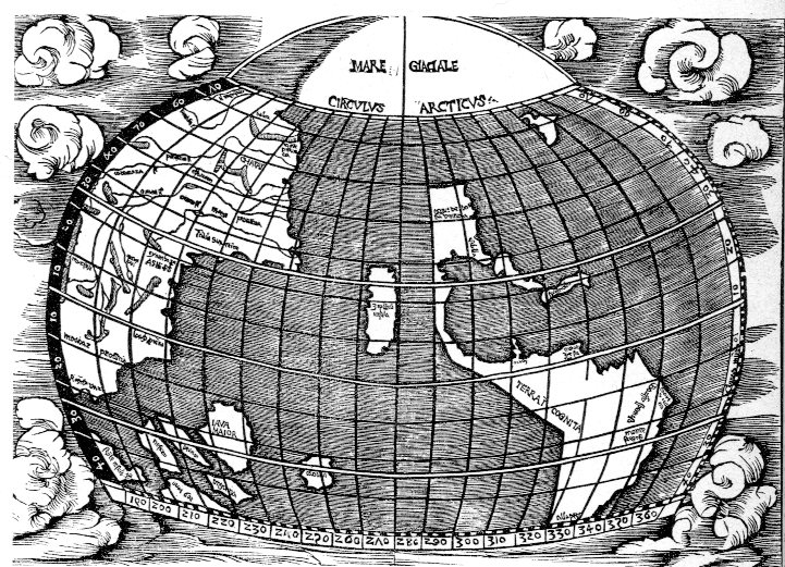
The seas in the map of the Western Hemisphere in Joannes de Stobnicza’s Introductio in Ptholemei Cosmographium (Cracow, 1512, and widely believed to be copied or at least very heavily inspired by the Martin Waldseemueller’s 1507 map of the world) are very tightly drawn, neatly unifrom, and lovely, as wesee below). This recitation could go on for quite some time, but this gets the point across on heavy lines. Next stop: dots.