JF Ptak Science Books Quick Post 
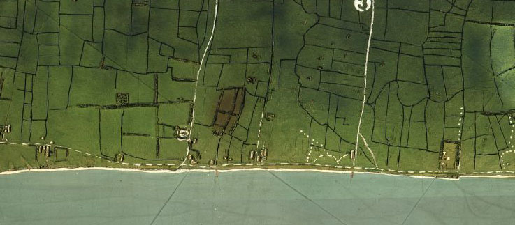
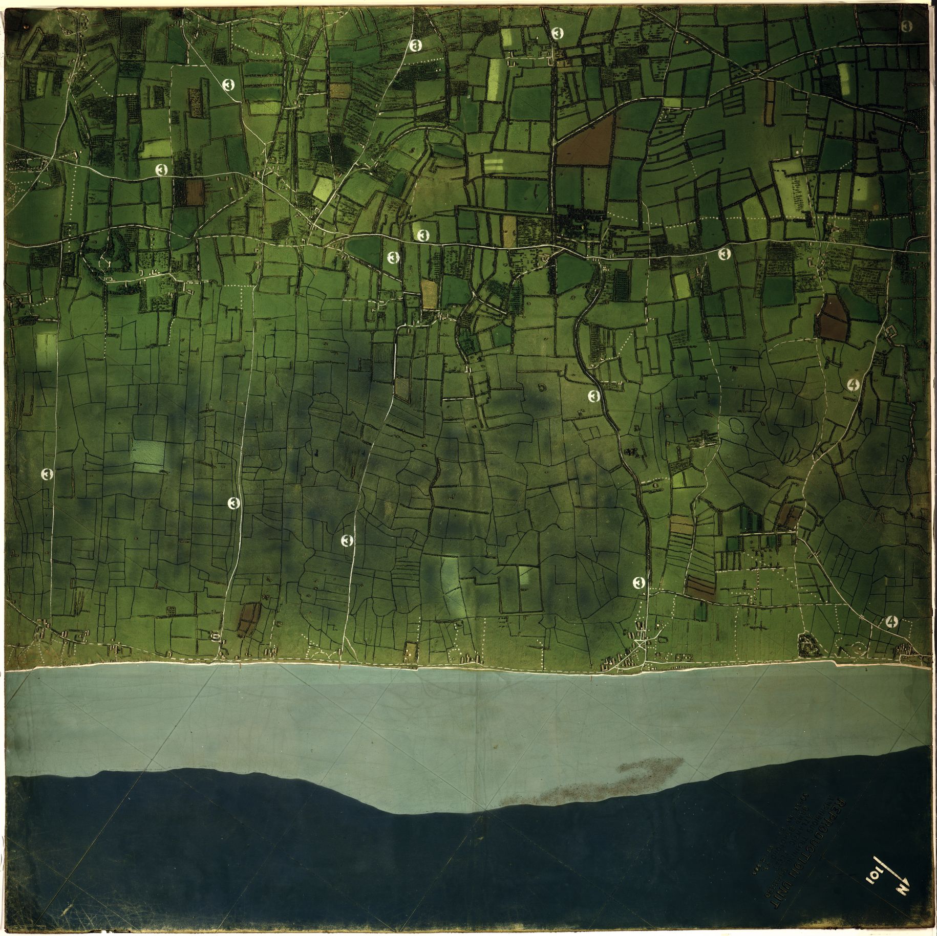
In all that I have seen relating to the mammoth planning and logistical operations concerning teh invasion of Europe by the Allied Forces on 6 June 1944 I don’t think I’ev ever seen such incredibly detailed relief map models such as the one below. The original image resides at the Library of Congress and its catalog information describes it on a scale of 1:5,000 and a vertical scale of 1:2,500, with the model being two sections of 120cm squared (so 120x240cm (or about 3×6 feet). THE map “shows the tide lines, slope of the beach, buildings beyond the beach, and the location of hedgehogs” and the placement of anti-aircreaft weapons. The image is very expandable.
And a detail: