JF Ptak Science Books Quick Post
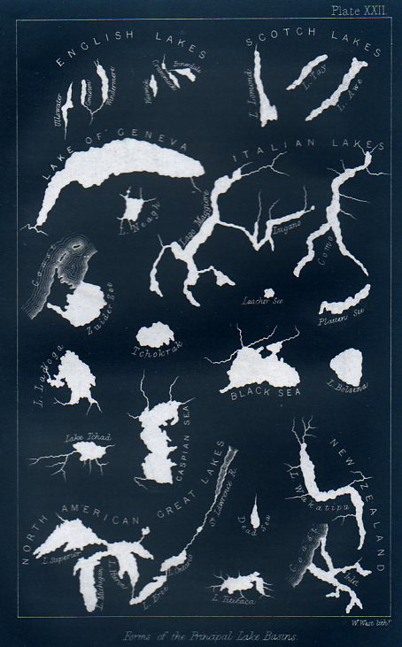
This engraving was very nearly very interesting–I mean, it is interesting in that it shows the shapes of lakes together on a single sheet of paper, their shapes presented devoid of any other non-lakes. Its really quite an arresting presentation, and coming at a relatively early time in presenting data in this fashion. What the engraving doesn’t relate, unfortunately, is the size of the lakes relative to one another.
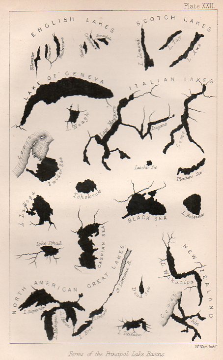
And if the lakes were to be presented proportionally, Lake Geneva (surface area of 225 miles2 would be quite a speck compared to the likes of the Great Lakes, and Lake Superior (31,000 miles2) would speck-ish compared to the great Caspian (clocking in at 152,000 miles2).
This graphic appears still in the first decade or so of cartographic physical attributes being placed together, and was published in 1865 in the Popular Science Monthly.
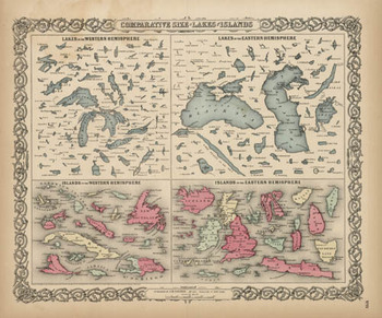 Here we go with a good representation of an engraving (above), this from 1856 and which may have been the first time that these 150+ lakes and islands of the Western and Eastern Hemisphere were ever been printed on the same page and in the same scale exclusive of their associative land masses and placed contiguously, side-by-side. They were, of course, seen in a common perspective before on any world map, but I think that this is the first year in which the islands and lakes of the world were displayed without oceans and land masses, and the effect is a little odd. If you take away the color and the text the image takes on a very definite biological flavor (I keep thinking of that tiny bone in the ear for the small lakes…) In any event it is far easier to compare these features without the distractions of the non-lakes and non-islands clouding and confusing our perspective fields.
The largest lakes, here.
And as long as we’re at, let’s have a look at the first image inverted, which gives the lakes a good healthy dose of anthropomorphism via imaginary rips, tears, moth- and bullet-holes.