JF Ptak Science Books Post 1941 
Just yesterday in this blog I made an entry on a very striking, viciously anti-slavery Moral Map of the U.S. It is very red and was printed in 1854, just barely before the great troubles really started to begin in 1856, and it stands on its own as a fine representation of a map-with-a-message. The map below by John F. Smith (Historical Geography) was printed in 1888, and although it was made after slavery it still carried a very strong message–perhaps not as graphic as the 1854 map, but certainly as vehement, and perhaps more-so, with a very heavy dosage of Reconstructionist retribution laced in its text. There is a sense of channels of warm blood flowing through canali of stone altars, a mass on the chest to Huitzliopochtli. It has its own sense of deep danger.
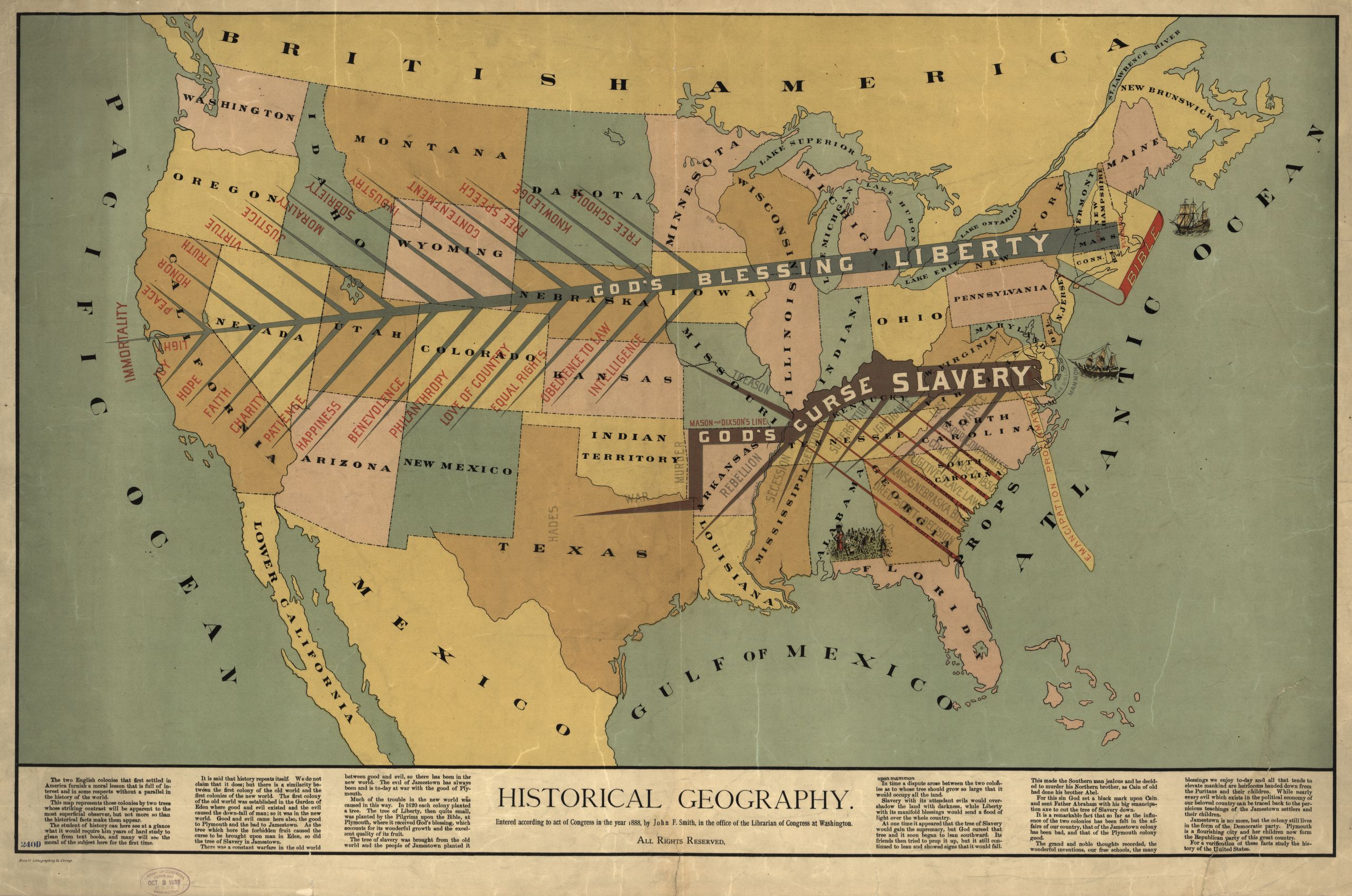
[Source: the Library of Congress. The map is very expandable.]
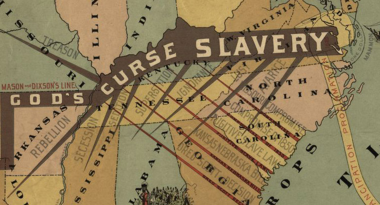
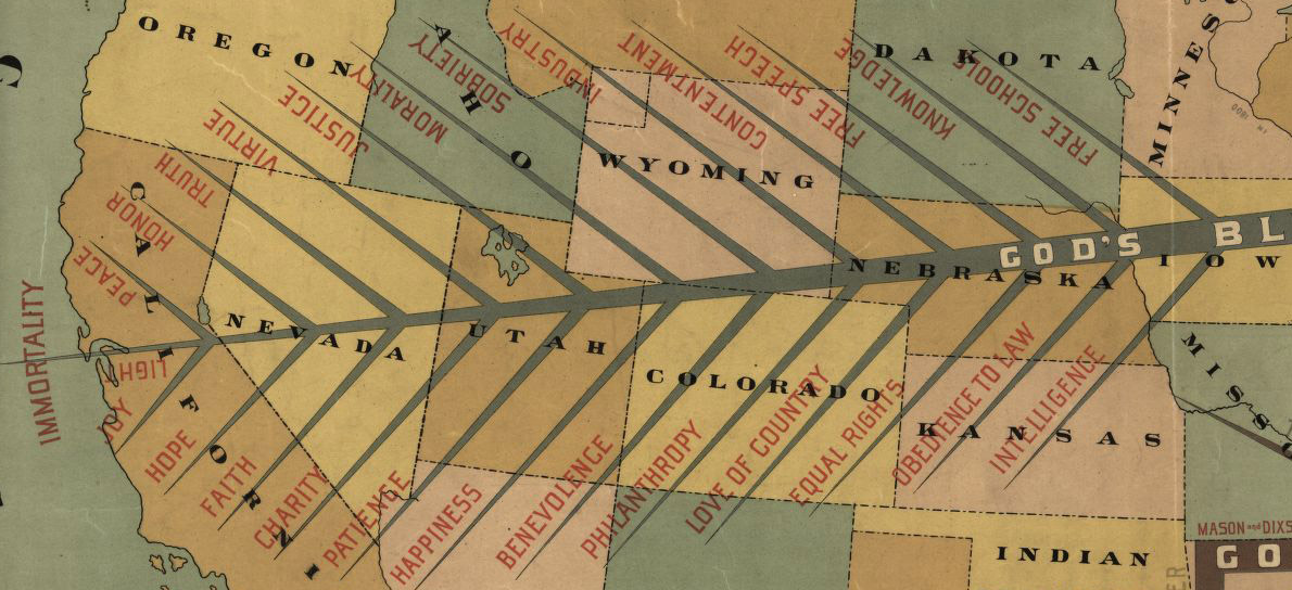
The map is divided North and South by two lightning-like trees, “God’s Blessing, Liberty” and “God’s Curse, Slavery.” The limbs of the tree of Liberty read “Light, Joy, Hope, Faith, Charity, Patience, Benevolence, Philanthropy, Love of Country, Equal Rights, Obedience to Law, Peace, Honor, Truth, Virtue, Sobriety, Industry, Contentment, Free Speech, Knowledge, Free School.”
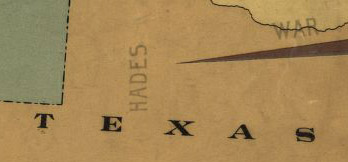
The limbs of the dark, crooked tree of slavery read: “Murder, War, Rebellion, Treason, Secession, Sedition, Superstition, Ignorance, Avarice, Lust” and of course “Hades”. these are hosted on the spikes of the Missouri Compromise, the Compromise of 1850, Fugitive Slave Laws, Kansas-Nebraska Act, Dred Scott.”
“Hades” might not be that far off, at least for the heat/difficulty index, as this one seems to be located right about at the eastern boundary of the Llano Estacado, which in centuries past was a very highly difficult place to navigate.