JF Ptak Science Books Quick Post 
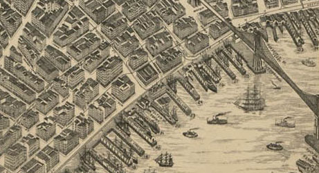
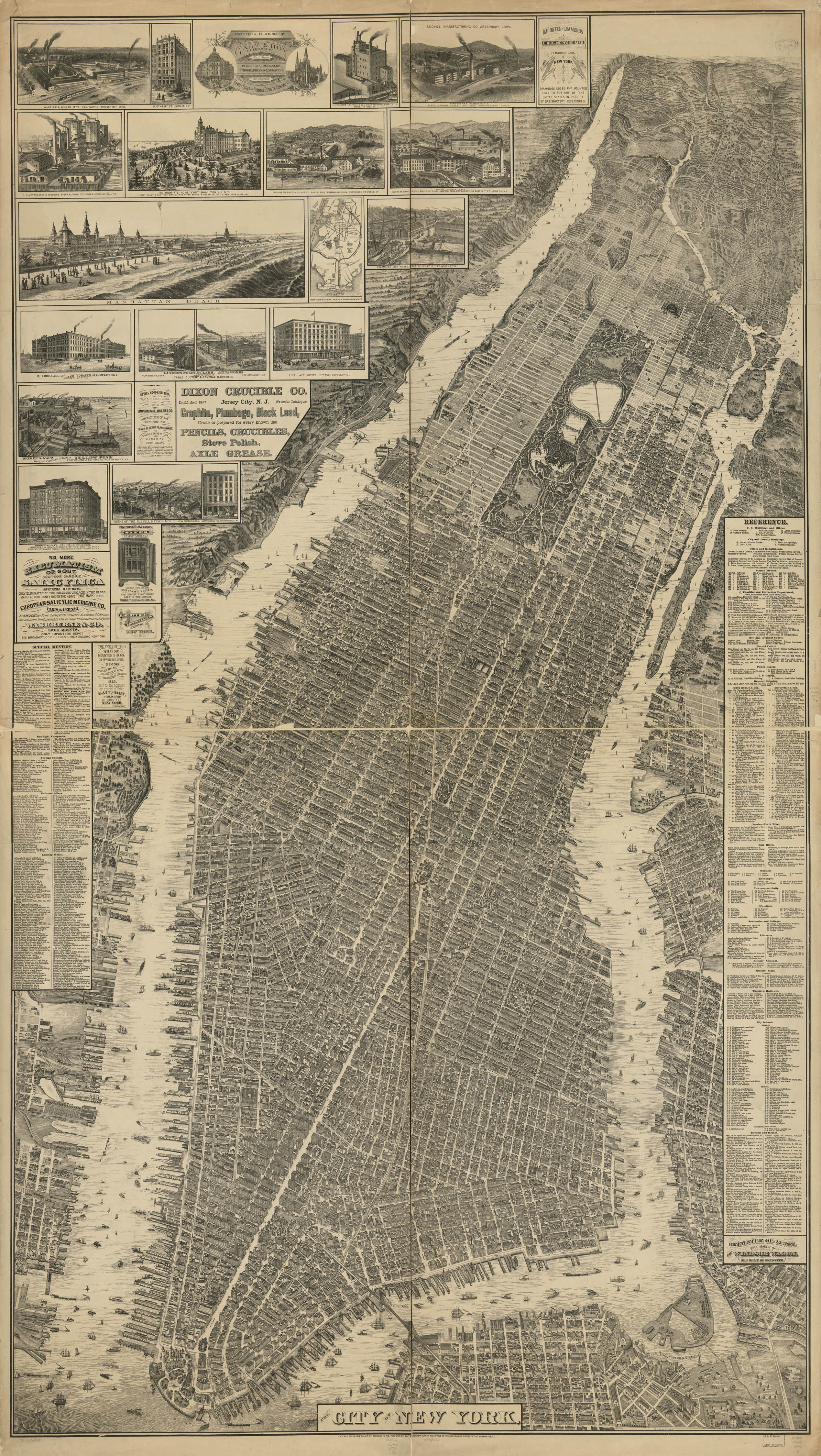
This remarkable map, a bird’s-eye perspective view of New York City, was created by Will L. Taylor (“chief draftsman”), and published by Galt & Hoy of New York in 1879. There is a great attempt at representing (all?) buildings in accurate detail, though the Library of Congress notes that the map is not necessarily drawn to scale. The very issue of what seems to be an attempt to show the footprints and perhaps even the elevations of all structures in the city is incredible. I know from experience with a 1910 bird’s-eye view of my own small city (Asheville, with a population of about 18,000 in that year) that our houses was drawn in and was shockingly accurate–I imagine with a large enough team of draftspeople that this project might well be possible for NYC.
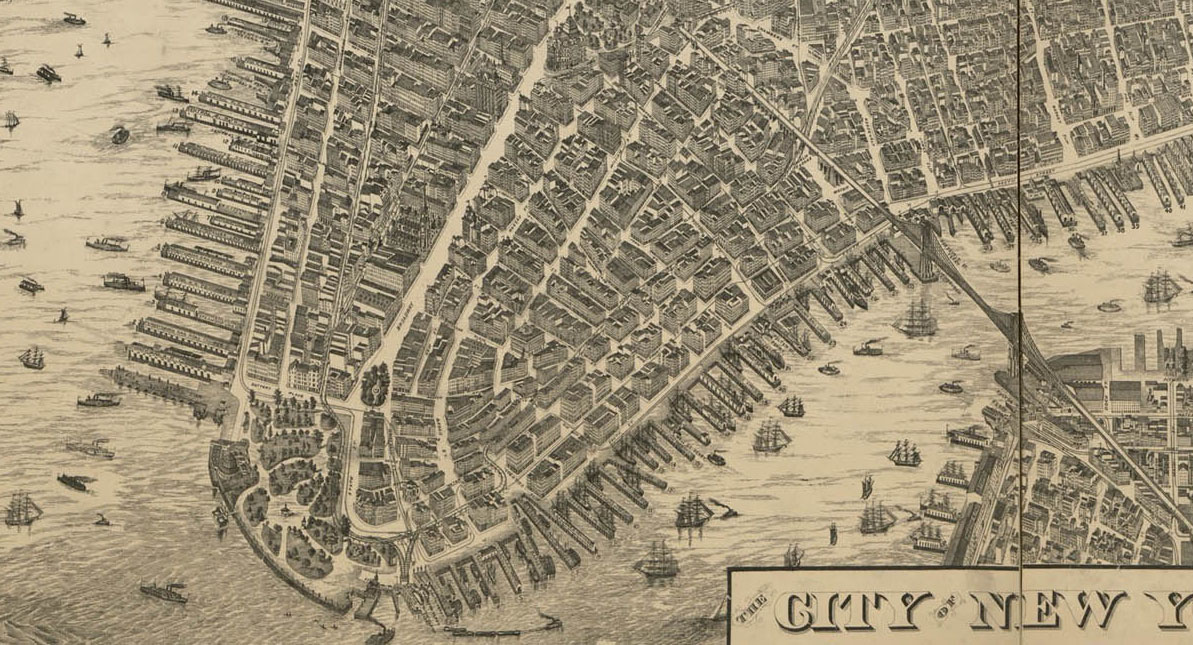 [Source: the Library of Congress. The original is quite large (188 x 107 cm) and printed on four sheets, and is just superb.]
And a bit more of a detail:
The full map, below, clicakable and downloadable as a 2.5 meg file–its a very lovely thing.