JF Ptak Science Books LLC Post 467
Olaus Magnus (Swedish historian and geographer,
born. at Skeninge, Sweden, 1490; and died at Rome., 1558) wrote the legendary
and Renaissance-high-point Historia
delle genti et della natura delle cose setentrionale… (“Historia de
gentibus septentrionalibus”, and translated as “Olaus Magnus Gothus’, the Upsala Archbishops’, history of the nordic
people’s different manners and camps, also about the wonderful
differences in customs, holy practices, superstitions, bodily
exercises, government and food keeping; further on war, buildings and
wonderful aids; further on metals and different kinds of animals, that
live in these neighbourhoods “) published in Rome,
1555 (as well as Antwerp, 1558; Basle,
1567; Frankfort, 1618, and also in translation
in German (Strasburg and Basle,
1567); Italian (Venice ,
1565); English (London,
1658); and Dutch, (Amsterdam, 1665)). It was mostly a response to earlier histories
treating the geography, fauna, flora and general history of Scandinavia, which
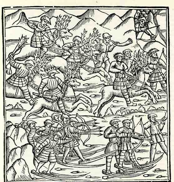
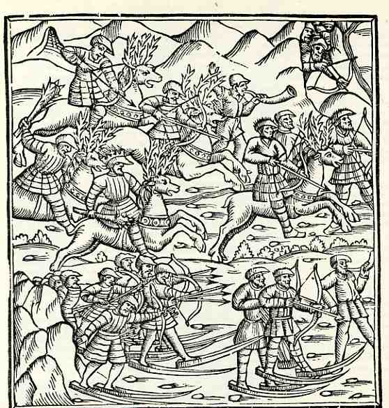
Magnus found to be wanting, wrong and fanciful. (The image to the left, a mixture of fact and fiction, does depict snowshoes for about the very first time in a printed book.)
His own book, the Historia, corrected and strangled many earlier wrongs and
fanciful affronts committed by other authors. It is still seen as a useful book on Scandinavian mythology and folklore, along with some interest in the origin of the material that Magnus contributed from his own imagination when sources went wanting.
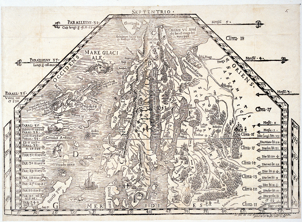
Magnus’ map of the great northland was a fantastic achievement, its
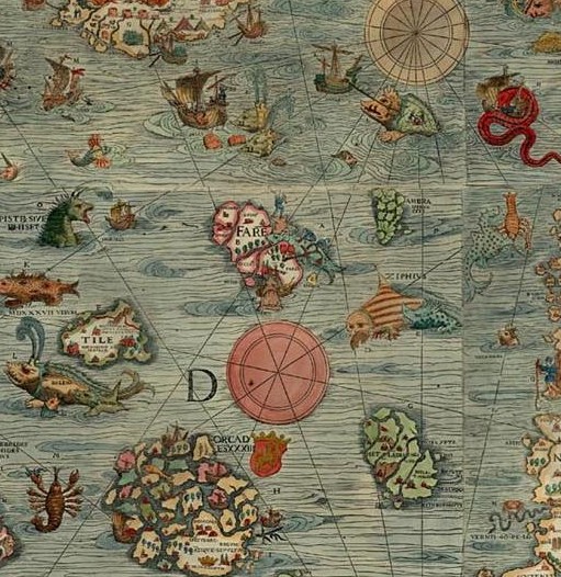
stature undeterred by the liberal use of sea monsters and other
fanciful creatures. The detail in the coastlines (as well as the depiction of currents between Iceland and the Faroe Islands) as well as interior
features make these among the most detailed maps of the north yet
printed in the 16th century.