JF Ptak Science Books Post 224
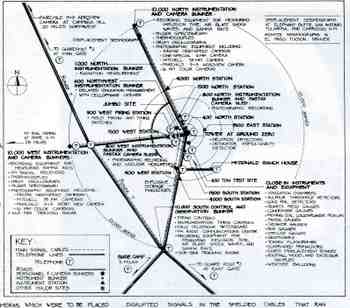
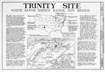
I just came across these engineering drawings for a detailed survey of the Trinity Site in New Mexico, location of the first detonation of an atomic bomb (16 July 1945). The work was completed by Rossana Santos for the DARCOM Recording Project as part of the American Historic Building Survey (Historic American Engineering Record NM-1-B, Department of the Interior). There are a number of interesting renderings, but the most useful (and scarcest) is the map showing the location of bunkers and instrumentation for the 16 July event. (Click on the images to enlarge.) This series of drawings pretty much speak for themselves.