JF Ptak Science Books
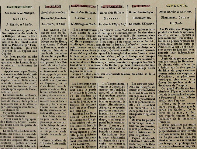
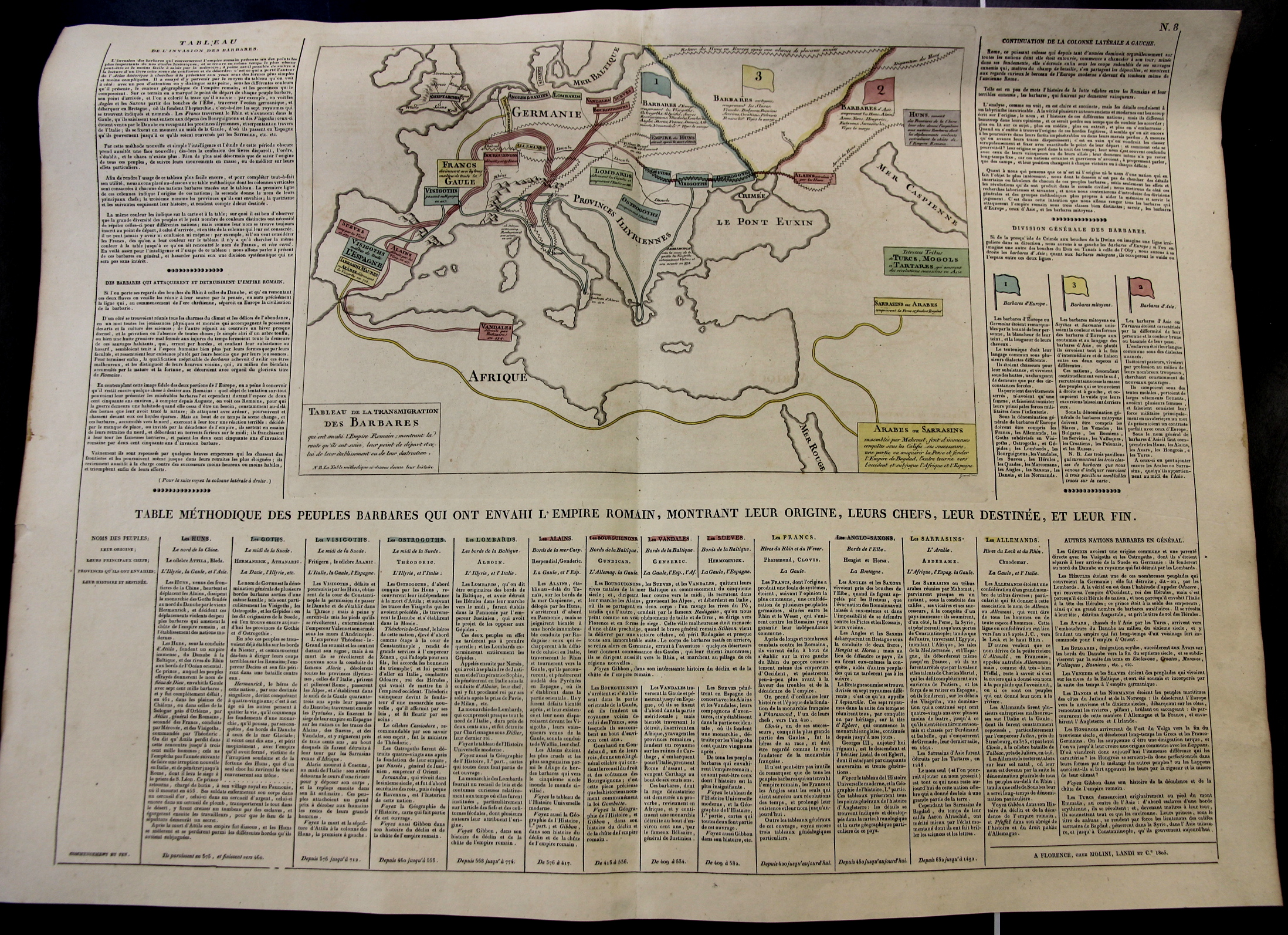
It is interesting to look at the Roman Empire from “The Other Side”, seeing the world (extending from Ireland to the Caspian) of the surrounding and numerous Barbarians. This map was printed in 1808 and identifies the peoples at all points of the compass outside of the Empire: Huns, Goths, Visigoths, Ostrogoths, Lombards, Vandals, Swedes, French, Anglo-Saxons, Sarrasins, Germans, Avars, Bulgarians, Danish, Hungarians, and others, all outlined in 14 columns beneath the central map. This is a finely-designed, accurate, and attractive way of displaying a lot of data in a relatively small (27×21″) space.
[Note: the image below is very expandable and readable when enlarged.]
- Also: the original may be purchased via the blog’s bookstore, here.
And a detail: