JF Ptak Science Books Quick Post
I’m interested in this fabulous map,“Die Ebbe und Fluth auff einer flachen Landt-Karten fürgestelt” by Eberhard Werner Happel. Happel’s (1647-1690) map was a very early thematic effort at depicting the course of the currents of the oceans, and may or may not have been very heavily dependent upon the work of Athanasius Kircher, who produced a remarkably similar map, but a few years earlier.
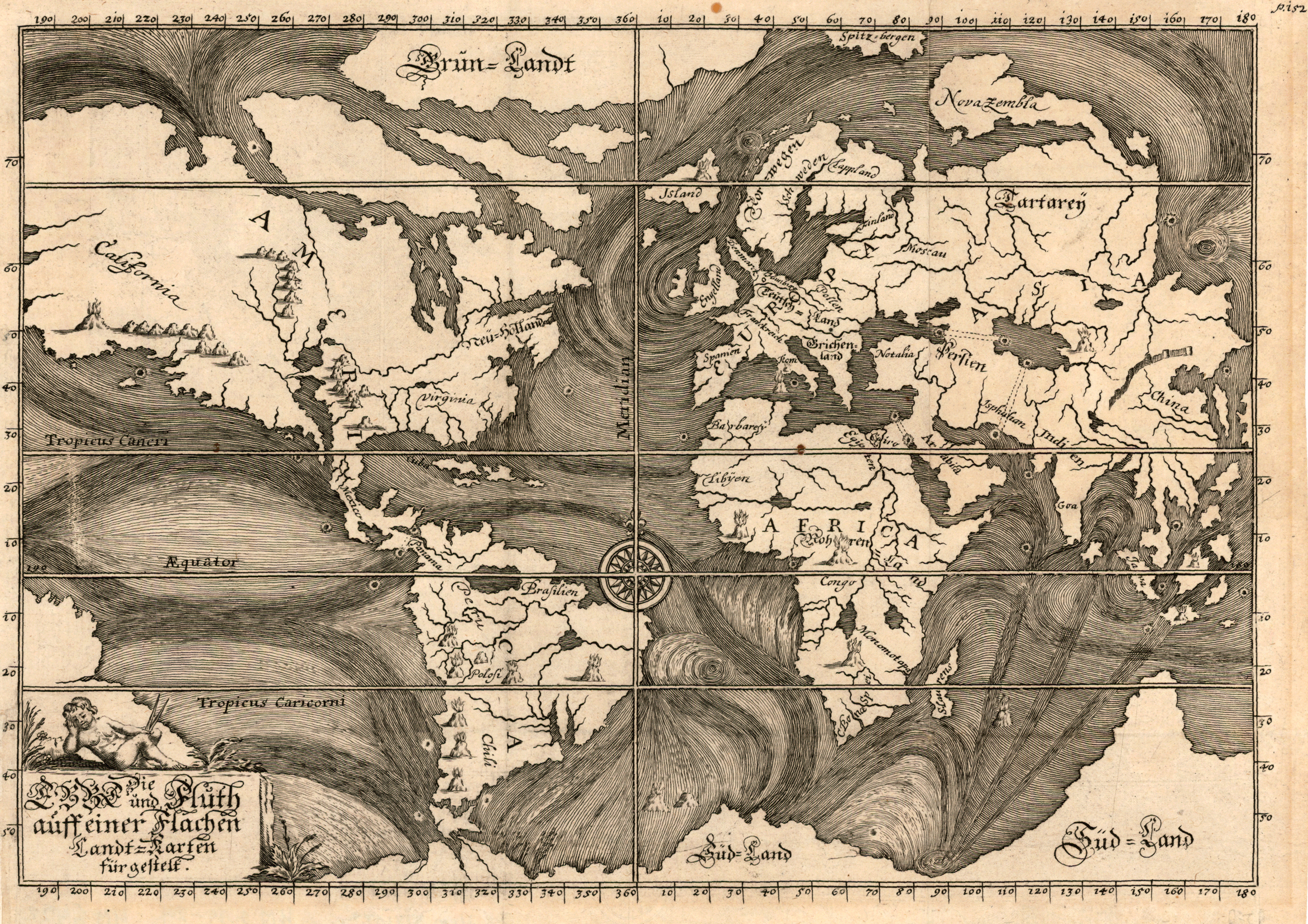 [Source: Pirnceton University http://libweb5.princeton.edu/visual_materials/maps/websites/thematic-maps/quantitative/hydrography/hydrography.html
Happel was a polymath much in the line of Kircher, and as gifted as he was (producing novels and popular works on the natural sciences in a number of books numbering many thousands of pages) he was not at the Kircher-level of polymath. Perhaps he was more on the line of a sub-Robert Burton (Anatomy of Melancholy) though not quite there, either. He did an extraordinary amount of writing in his slim 43 years, though not necessarily at the highest level of intellectual achievement (as with the other two).
In any event, the map is beautiful.
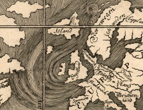
And the details of high artistic forms:
and so: