JF Ptak Science Books Post 1469
“To wander in an empty cave / Is fruitless work, ’tis said: / What must it be for one like me / To wander in his
head?”–Selected Letters of Lewis Carroll, 5t, to Margaret Cunnyghame.
This is part of a developing thread on the mapping of imaginary places–primarily in work that is done before, say, 1900. There’s much more imaginary cartography in the 20th century than in the entire history of cartography preceding it, and 1900 jsust happens to be a nice arbitrary cut-off date which also coincides with L. Frank Baum’s map of his The Wonderful Wizard of Oz.
And so what follows is a simple list, a familiar placeholder for the cumulative list which will soon follow.
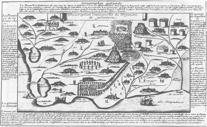
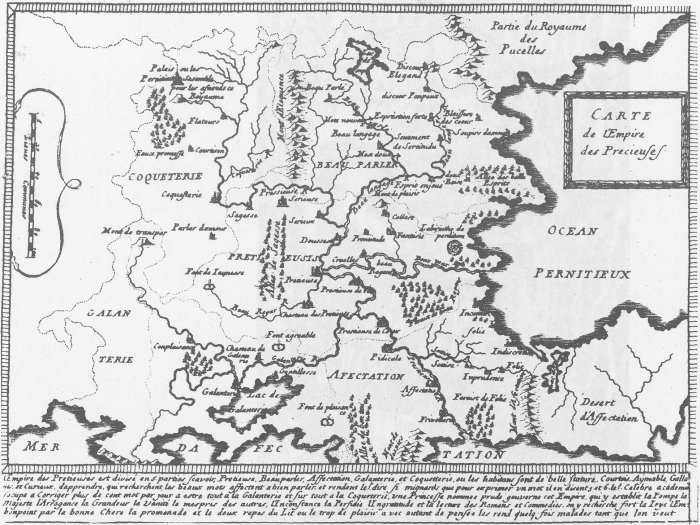
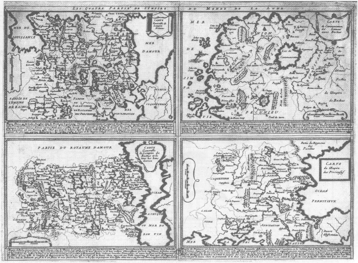
Voyage au Rayaume de Galanterie (1652), by Delphine Denis. ( In: Espaces classique, volume 34, numéro 1-2, hiver 2002, p. 179-189. Source here.)
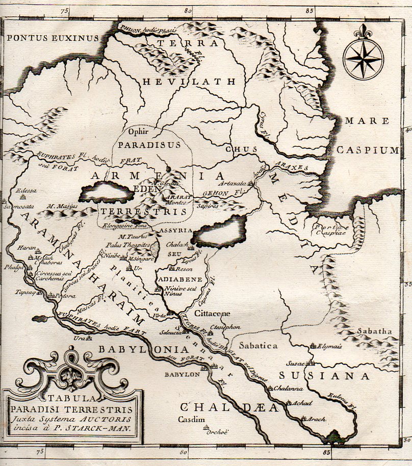
Map of the Location of Eden, 1785:
The mostly-imagined coastline of Australia, one of the earliest speculations on the place, ca. 1593:

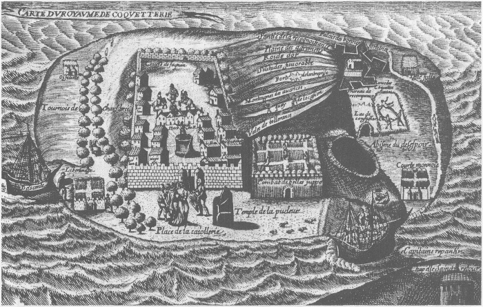
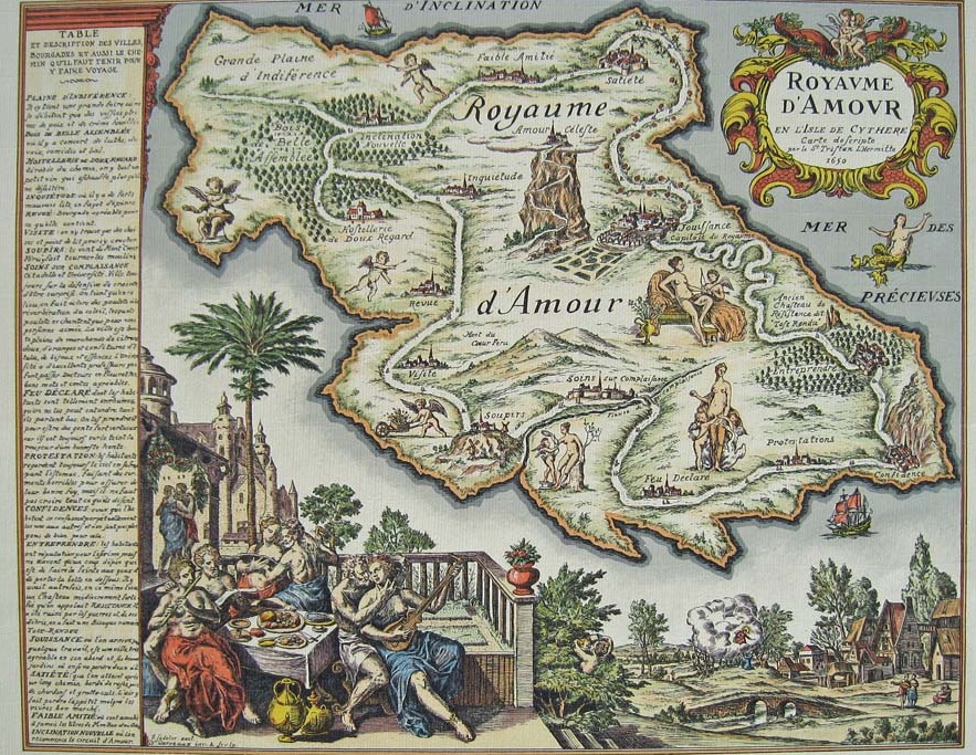
Royaume de Coquetterie, by J. Sadeler.
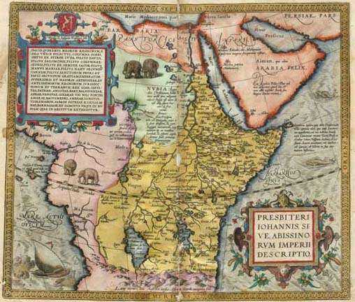
Map of Prester John’s realm, by Abraham Ortelius (1527 – 1598), 1572. The kingdom of Preser John was supposed to be that of exiled Christians surrouned by non-believers, set in Central Asia, or norther Africa, or India, or Ethiopia. Bordering such places as Paradise and the Fountain of Youth, and ruled by a descendent of one of the Three Magi who was wealthy and benevolent, this place was an object of much travel and considerable expectations.
Map of interior world, from “The Goddess of Atvatabar” (1892) 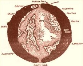
by William Bradshaw:
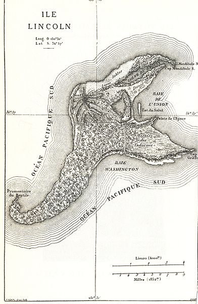
Map of Isle Lincoln, from Jules Verne Mysterious Island, 1874:
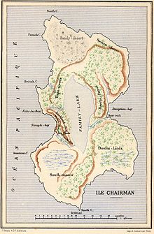
And another from Verne: Two Years’ Vacation (Deux ans de vacances), Chairman Island:
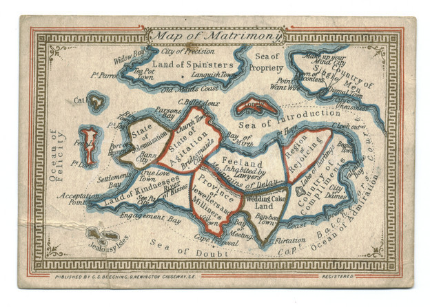
Nouveau jeu de l’Himen
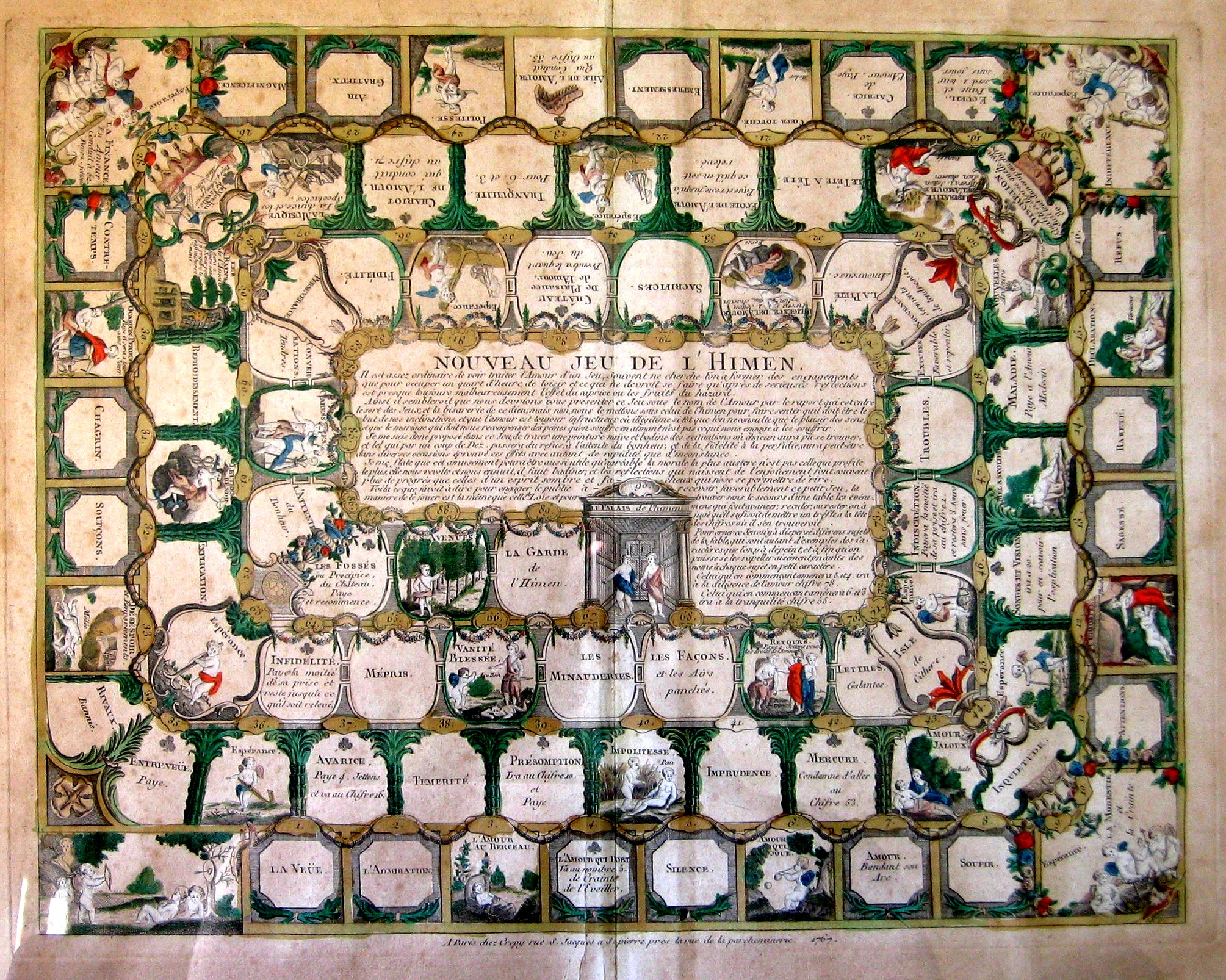
Complete description here.
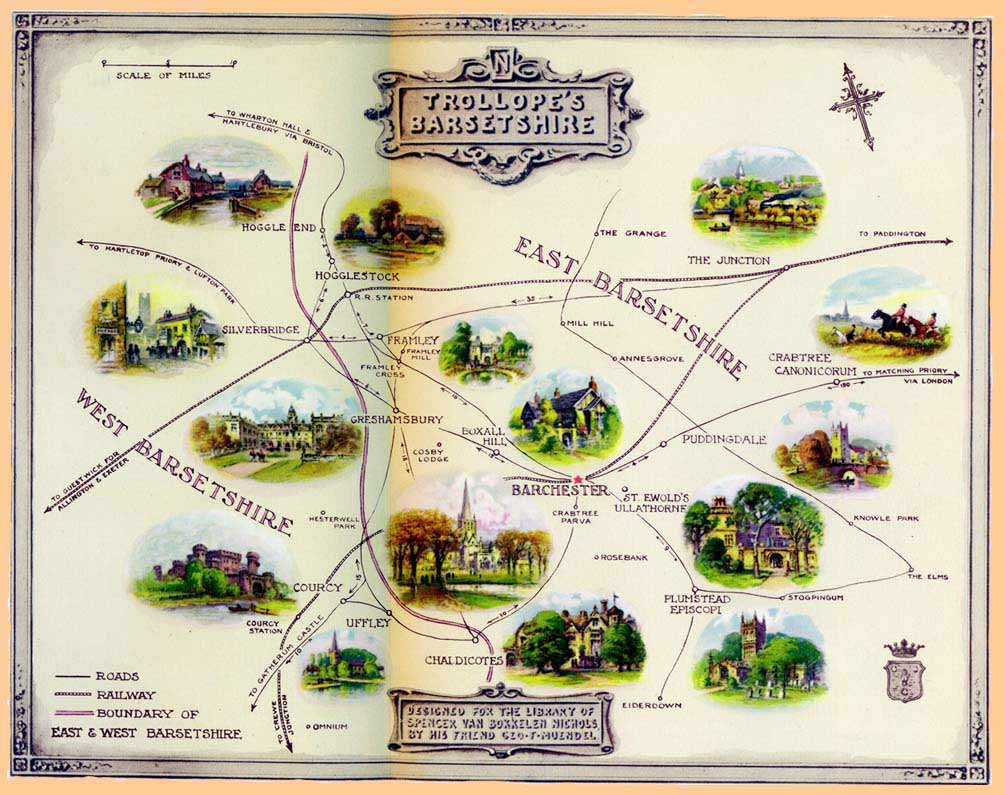
Barsetshire, from the novels of Anthony Trollope:

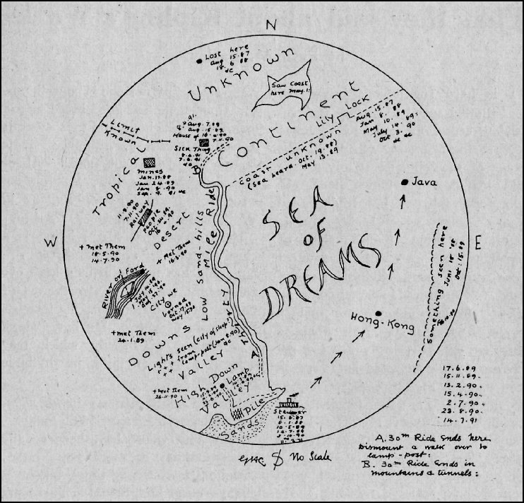
Rudyard Kipling’s (George Coattar’s) map of the Sea of Dreams from the “Brushwood Boy”,
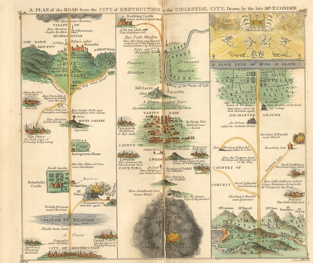
Pilgrim’s Progress, 1840.
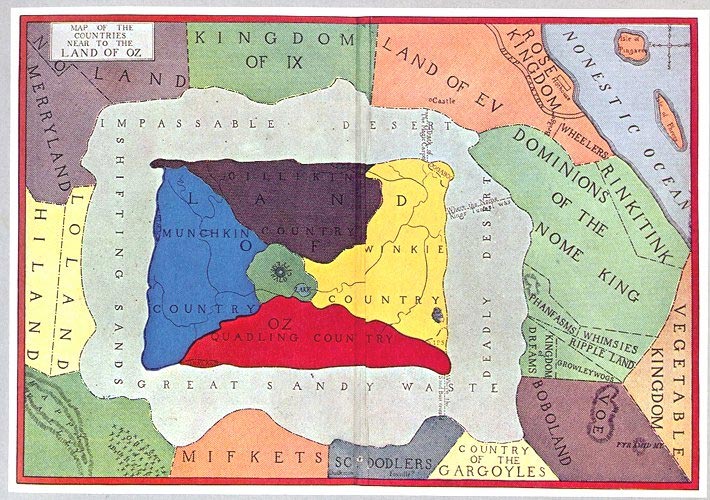
Map of Oz, or at least the first map of Oz, as it appeared in L. Frank Baum’s book The Wonderful Wizard of Oz in 1900:
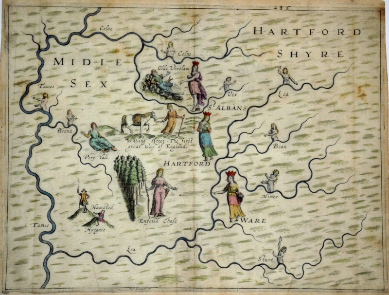
Michael Drayton’s (1563-1631) love-poem to England and Wales, the Poly-Oblion (published in 1612), mapped the reaches of the two countries and decorated them with allegorical iamges–it seems to me that the images were given far more work an understanding than the maps, which come off as outlines and suggestions of the real thing. (The maps were interestingly the work of one of the earliest British mapmakers, William Hole.)
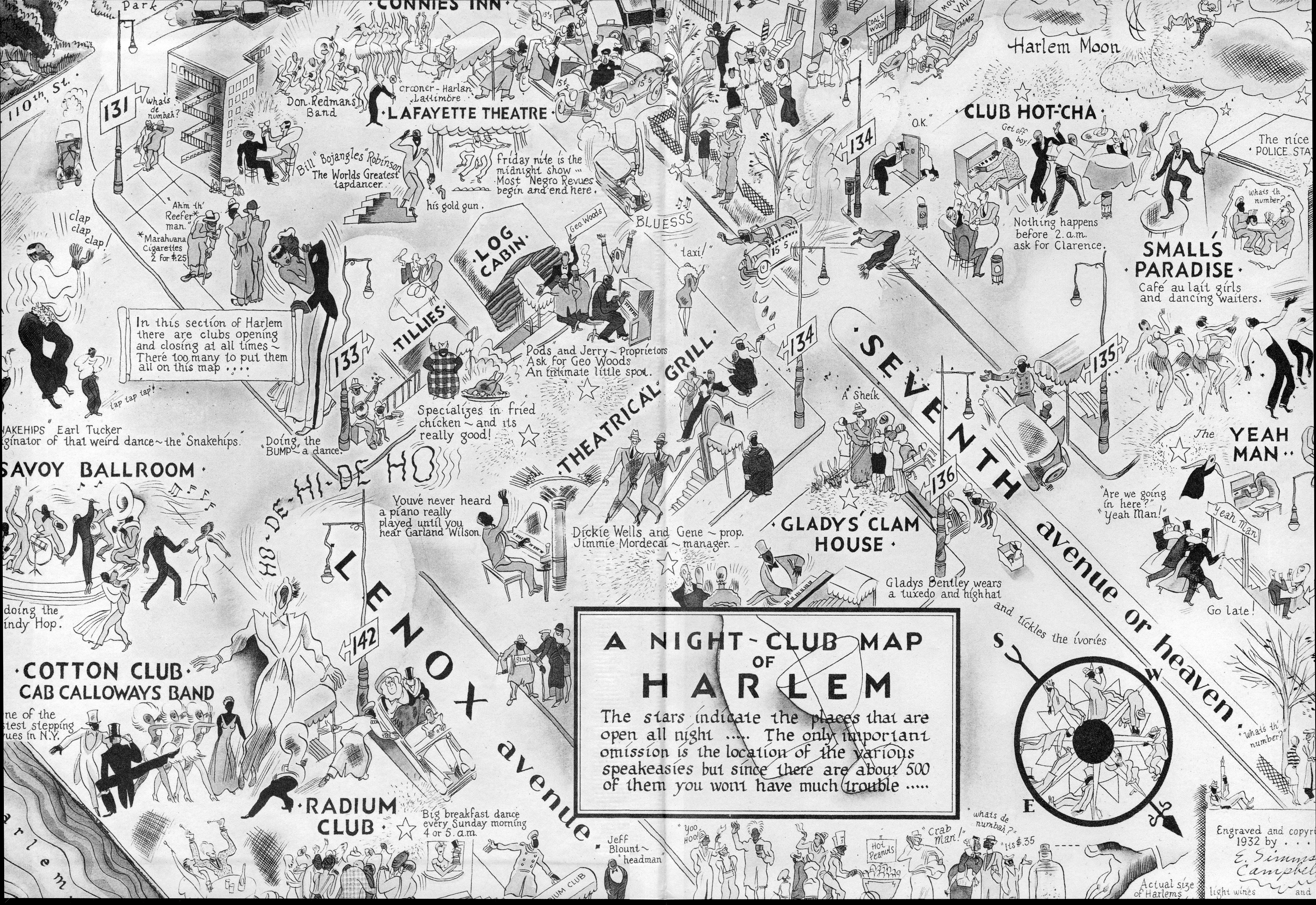
Map of Harlem Nights, 1932, a fantastic map of a real place and real people and real happenings that I just couldn’t leave alone. It doesn’t belong here–I just like it.
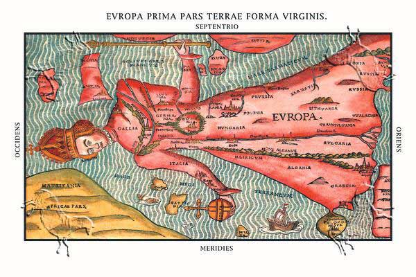
Heinrich Bunting, 1581.
Map of the Empire of the Precieuse, 1652.
 |
||
|
|