JF Ptak Science Books Quick Post
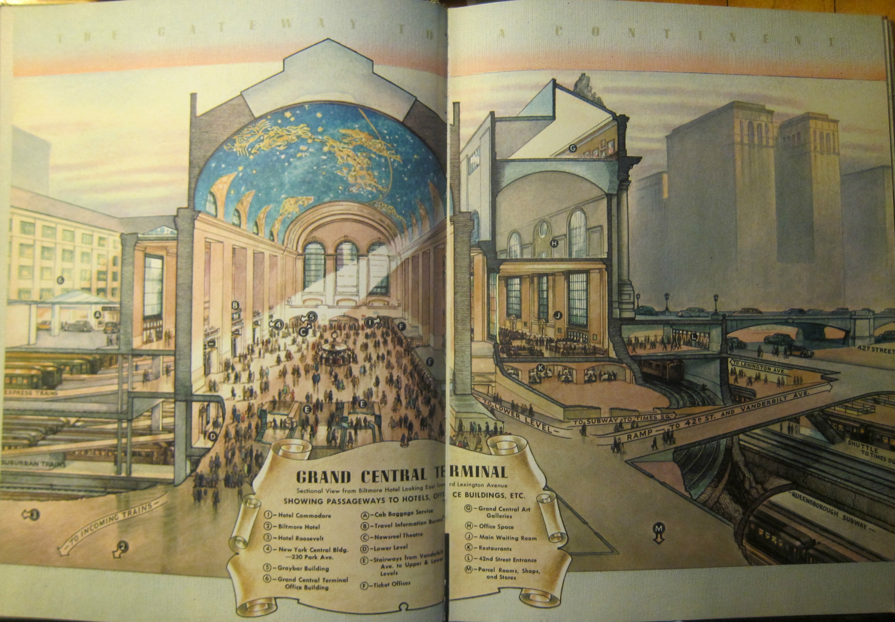
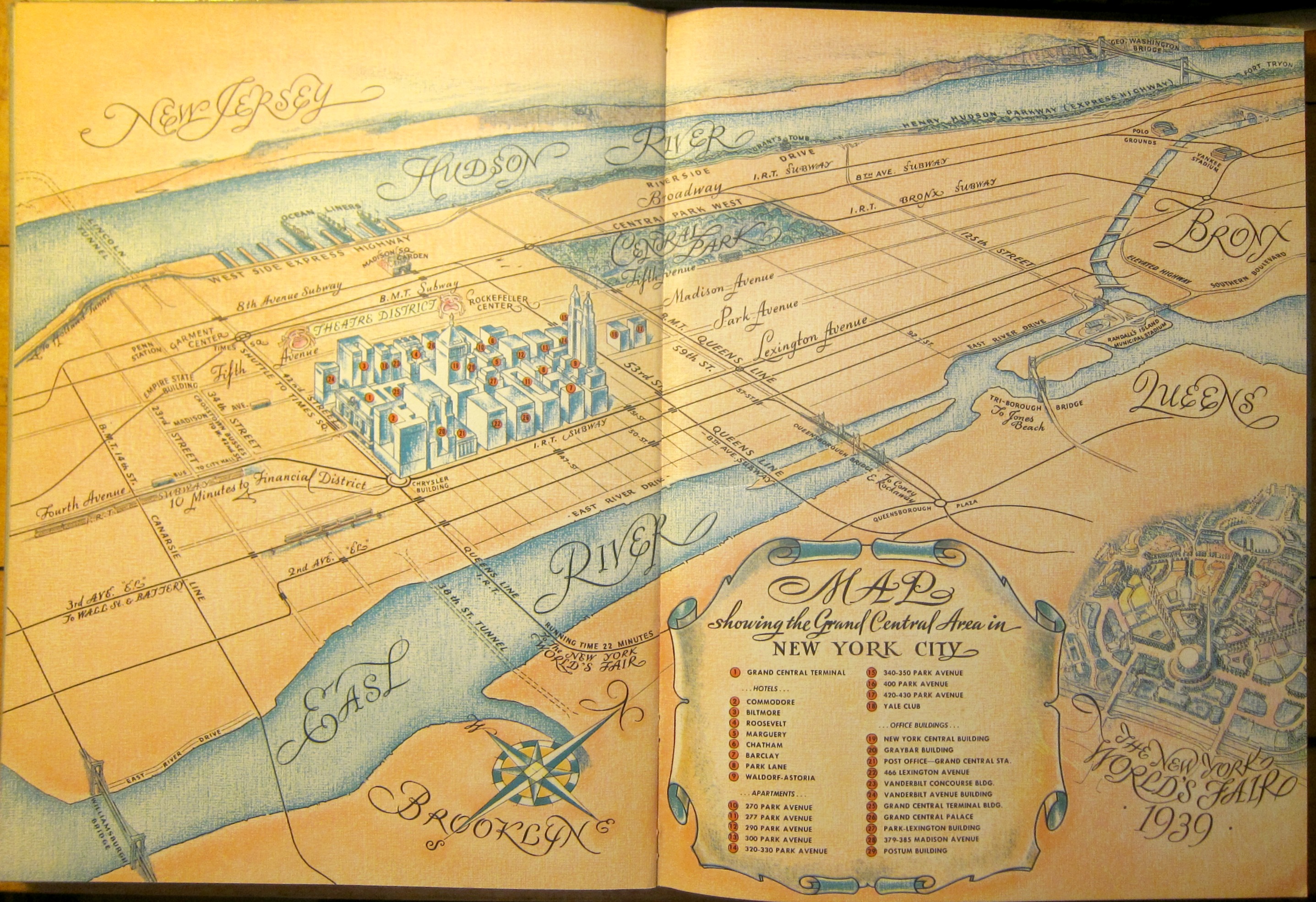
This is a very Grand-Central_terminal-centric image of NYC–and rightfully so, being one of the great buildings of Manhattan. These images come from a promotional The Gateway to a Continent, published in 1939, which is a fairly luxurious publication which I think was intended for the appreciation of possible luxury accommodations for visitors to the 1939 New York World’s Fair. The result is an overview of the venues on Lexington/Park/Madison from 42nd-51st streets. There’s a great two-page map that shows this section in detail and which leaves out virtually everything else save the text mentions of some like “the Chrysler Building”, “the Empire State”, and “Penn Station” without images of them.