JF Ptak Science Books Quick Post
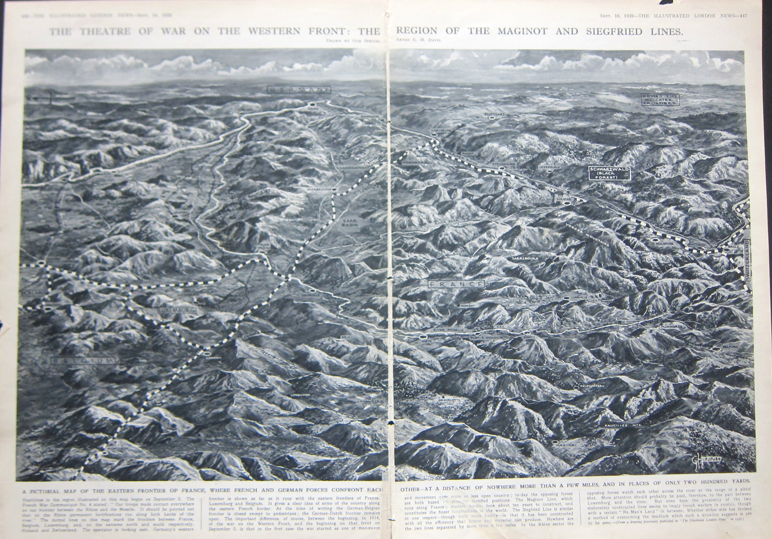
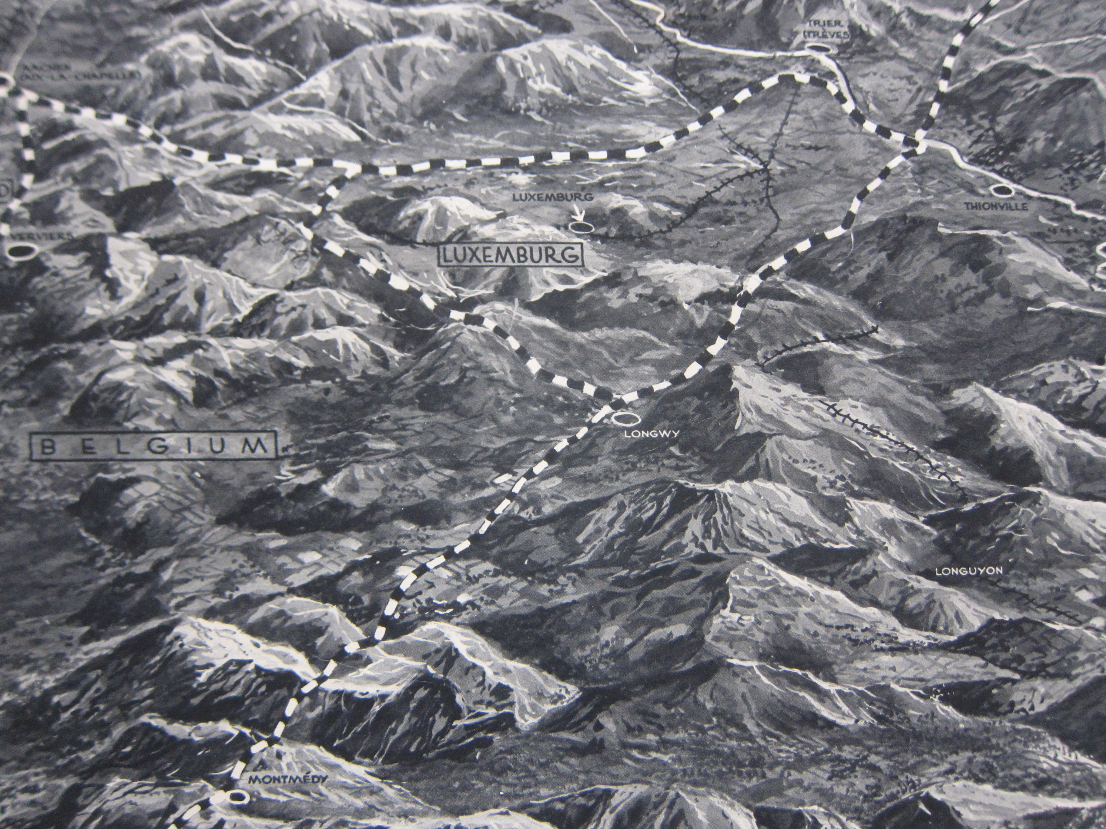
This double-page map from Illustrated London News caught my eye–it shows “the theatre of war on the Western Front” at the end of the second week of the European war, 16 September, 1939, just five days after the war had been freshly defined for the first time as “World War II”. (From the OED: “1939 Time 11 Sept. 38/1 ‘Some of the diplomatic juggling which last week ended in World War II was old-fashioned international jockeying for power.’”) It is an interesting oblique view (north to the left) created by the great ILN illustrator, George H. Davis, showing the borderlands of Belgium, Luxenbourg, France, and Germany, the first three soon to be overrun. The map does seem to present a good bird’s eye for the region, and what I set out to find was the Ardennes–soon to come to life again as an unlikely entry point of attack to France, and then again to the Germans come Christmastime 1944. Part of the Ardennes is seen at the lower left, though not identified. Triangulating the towens of Longwy, Longyuon, and Luxembourg City, I’d place the town of Bastogne at about the “G” in the title for “Belgium”. The town isn’t on th emap now, but in five years, everyone will know where it is, named or not.