JF Ptak Science Books Quick Post
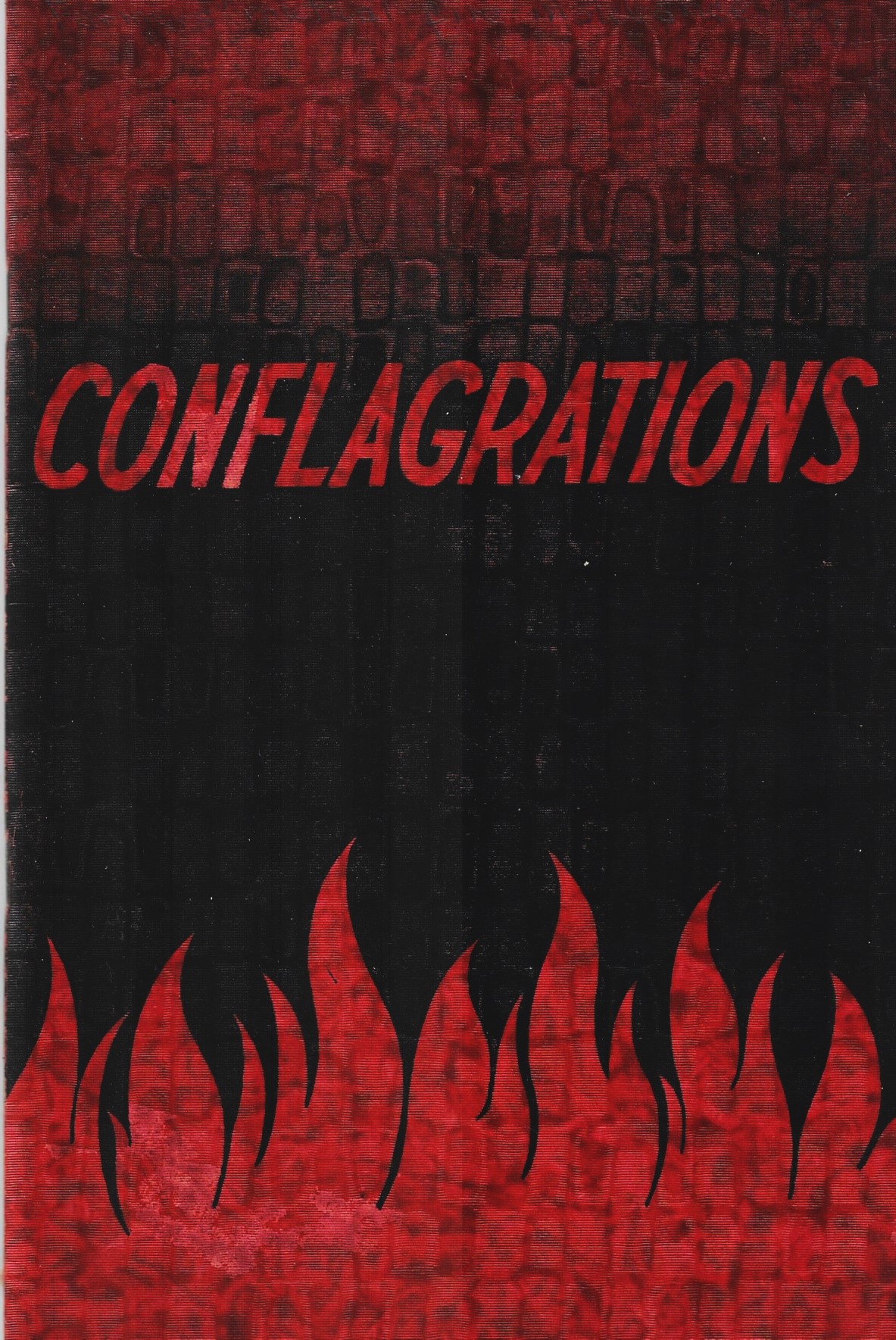
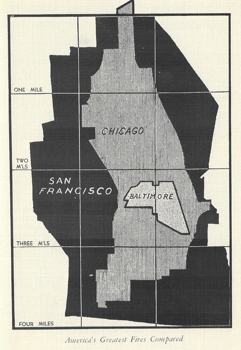
Yes, this is a great cover, and it belongs to the designers for the National Fire Protection Association, who I guess were trying to, um, emphasize the terrible nature of The Big Fire in the course of its mission to sell fire insurance, which of course is a good and necessary thing. The pamphlet (printed in 1936) details some of the biggest fires in U.S. history, Salem, Ma.; Paris, Tx. (two); Nashua, N.H.; Coney Island, Brooklyn; Crisfield, Md.; New Straitsville, Oh.; and of course the big ones in Boston, Atlanta, Chicago, Baltimore, and San Francisco. Of particular interest in this pamphlet is the comparative sizes of the three greatest fires, reproduced below.