JF Ptak Science Books Quick Post
I’ve post a number of thing son this blog relating to Nazi invasion routes to America and the potential threat of Poland to Nazi Germany, all stories more vividly enhanced (whether true or not) by maps–as a matter of fact, maps seem to be validity enhancers to just about any story, for it seems that maps represent a will of some sort, and where there’s a will, there’s a way, and so there must’ve been a good Nazi plan for attacking South America via Uruguay. Except that there wasn’t. But the map looked good, and certainly it made people think.

[Map source from the Bahia Sin Fondo blog, here.]
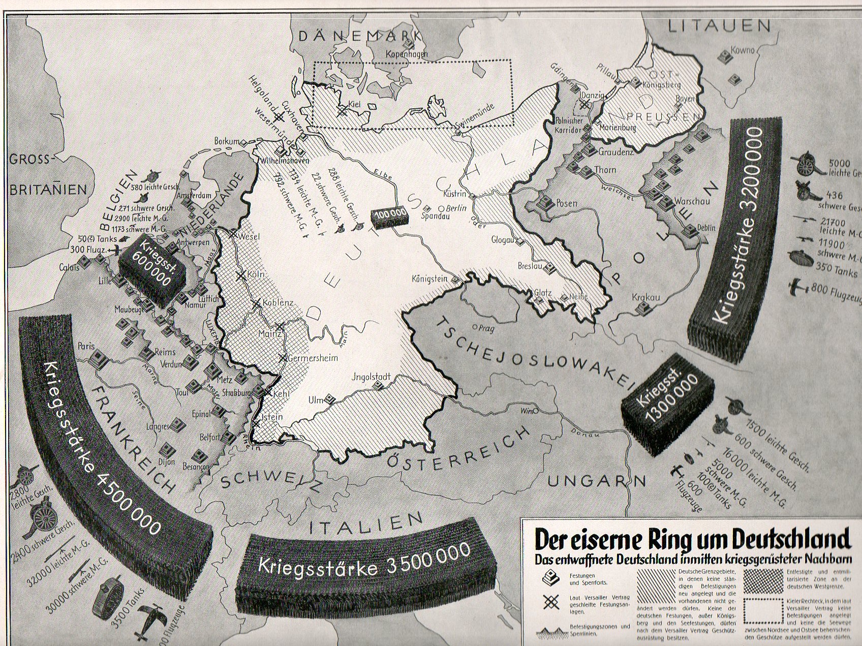
For example, see the posts Invasion Routes to America: Nazi Invasion Scenarios of the U.S. and Germany Surrounded (map below).

[Source: Why We Fight, the Battle of Britain.]