JF Ptak Science Books Quick Post 
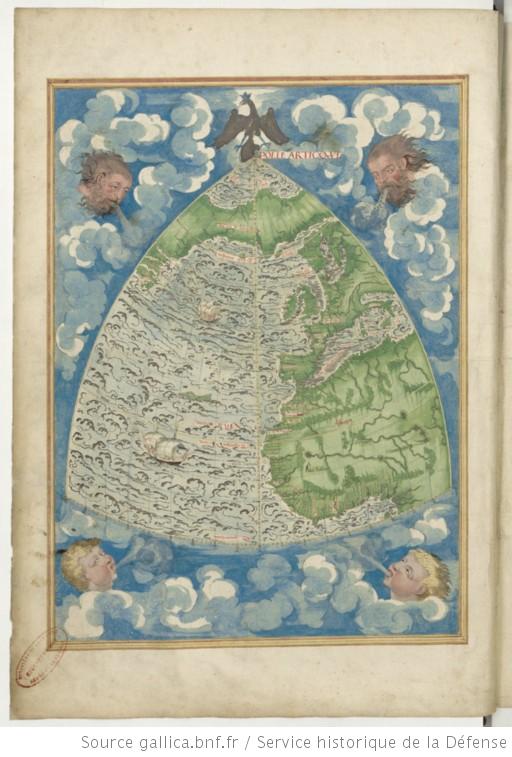
These fabulous maps appear in the cartographer/privateer/navigator/explorer Guillaume Testu (1509-1572) Cosmographie universelle, selon les navigateurs tant anciens que modernes / par Guillaume Testu, pillotte en la mer du Ponent, de la ville francoyse de Grâce, which was a manuscript atlas composed in 1555 or so, and found online courtesy of the Bibliotheque Nationale (Gallica). It is extraordinarily rich in design, color, and most significantly in detail, much of which was real.
The work is 118 pages with 57 plates (almost all of which are maps)–I’ve posted below six world map projections plus a few maps of North America and Central America. And a beautiful wind rose. The rest are available via the previously-mentioned link.