JF Ptak Science Books Quick Post
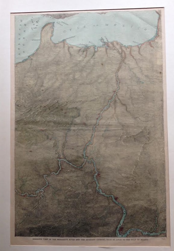
Maps with unusual perspectives have long been interesting to me, and this map of the Mississippi River certainly fits this category. Printed in Harper’s Weekly on July 6, 1861, and entitled “Bird’s-eye View of the Mississippi River and the adjacent Country, from St. Louis to the Gulf of Mexico” it displays the river from north-to-south, landing New Orleans at the top of the United States. I’m not altogether certain why this perspective was used –perhaps it was just to acquaint readers with possible “western” battlefields for the brand-new Civil War, showing the terrain from a different position for the sake of running old geographic info through a news interpretative lens.
It displays this middle-ish section of the country from just east of Knoxville (and almost to the mountains in which I am sitting) and then south to Charleston, and north along that same line to Vincennes and the Wabash River; then on west to St. Louis and Rolla and south to Galveston. We can easily see the entire Florida peninsula–truncated, owing to the bird’s-eye view part. There are probably dozens of cities shown, all of which are on one railway or another. The terrain is very interestingly cut and also very useful. And again, New Orleans sits on top of it all, perhaps to emphasize its importance in the future fight for the river and the middle of the country in the three-month-old Civil War.
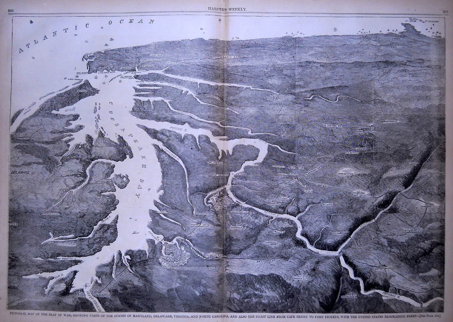
Harper’s Weekly published several perspectives like this–for example, here’s another very creative and imaginative view of the theater of war looking southeast from high above Baltimore, and surveying the country that leads south and encompassing the entire coastline to just beyond Savannah. It is a very interesting portrayal of the terrain, especially for the Blue Ridge, and for giving a good idea of what was on the road between Washington and Richmond.
 [Image source: the Philadelphia Print Shop]