JF Ptak Science Books Quick Post
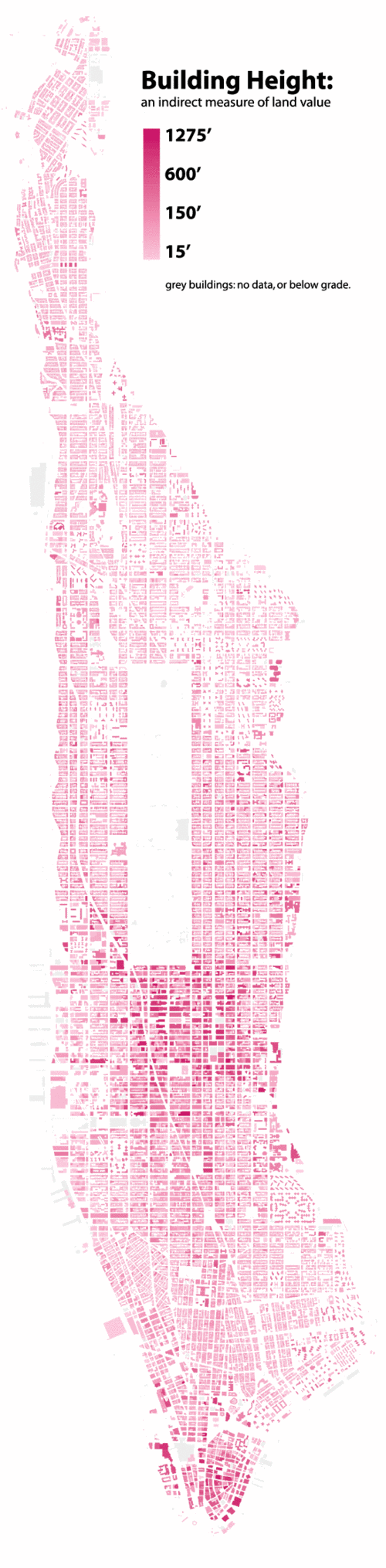
It has seemed to me that an elevation map of the United States may be an interesting way of collecting and categorizing regional similarities and differences. For example, high desert folks probably have more affinity to one another than suggested by state maps–so to for Eastern states high elevation people in the Appalachian chain, similarities indicated more so by the number of feet above sea level than a state lines between North Carolina and Virginia (and so on). So far as I can tell no such map exists–but it came back to mind seeing this wonderful and innovative map of Manhattan building heights, brought to us by Bill Rankin of Radical Cartography.