JF Ptak Science Books Quick Post
The history of RADAR (RAdio Deection And Ranging, and something I’ve always written in caps, for whatever that is worth) is absolutely not what I’m thinking about now–that is a long story with lots of twists and turns, complicated, complex–and it ranges depending upon location as for the most part RADAR (from the 1930’s anyway) was developed in secret, kept as a military secret. And that’s because it was a very important development, with the victor of the Battle of the Beams being the possible victor, period.
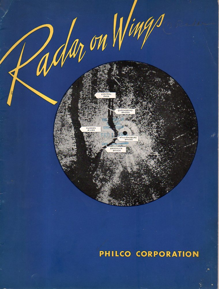
All I want to do presently is note the significance of this particular pamphlet in the history of RADAR. This work was printed by PHILCO Corporation, (and dated January 4, 1946), and has an inserted leaflet stating that this “makes public for the first time the salient facts about the Corporation’s development and production of airborne radar equipment for the United States Army and Navy”. PHILCO and other companies made significant contributions to the war capacity of the Allied forces, and–for this company in particular–much of that went unknown for quite some time afterwards, and of course there are some stories that just won’t get told. But for PHILCO the story gets told here.
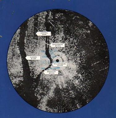
This is also a fabulous nighttime map of NYC–produced by RADAR.
[RADAR on Wings, Philco, 1946. 10×8″, 30pp (unpaginated) with lots of photographs and an occasional schematic. Available from this blog’s bookstore.]