JF Ptak Science Books Quick Post
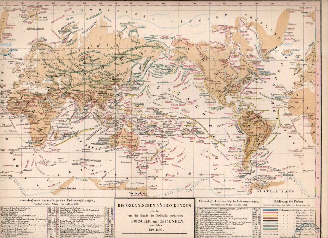
This small detail (measuring about 1/3″ square) is from a fine, detailed, and oddly beautiful map (itself only about 12×9″) which was published in the atlas volume1 to accompany the best-selling encyclopedic presentation of the natural history knowledge of the world to that time, Baron Alexander von Humboldt’s Kosmos, which was published over a period of several from 1845-1862.
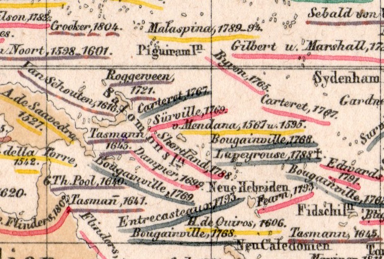
The map is titled Die Ozeanischen Entdeckungen und die um die Kunde des erdballs verdienten Forscher und Reisenden vom Jahre 840-1850, and depicts voyages of discovery for a milennium, 850-1850. It is a terrifically-detailed map, even among highly-detailed maps. (This detail is taken froma 1×2″ section seen here:)
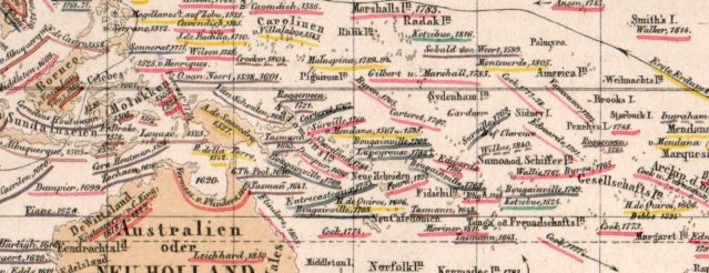
And the full map:
Notes:
1. The atlas was by T. Bromme, Atlas zu Alex. V. Humboldt’s Kosmos in zweiundvierzig Tafeln mit erlauterndem Texte. Herausgegeben von Traugott Bromme. Stuttgart. Verlag von Krais & Hoffman. (with second title page) Atlas zur Physik der Welt in … Bromme, 1851.