JF Ptak Science Books Quick Post
Here’s a good example of the mapping of a non-existent entity: the Kingdom of Fusang, or the Chinese/Fusang people, located in British Columbia/Washington state, appearing in the considerable Philippe Buache’s map, Carte des Nouvelles Decouvertes…(1753). It is a wonderful map that also has a lot of suggested possibilities of realities in the not-much explored Pacific Northwest of North America. What we see appearing above the huge landmass of “Californie” (mostly the entire west coast of the present-day U.S.) is the island-like “Fou-sang des Chinois”. This area stretches from about the 47th to the 59th parallels, and is contiguous to another hypothesized entity, the “Mer de l’Ouest”, which is an enormous body of water about the size of Hudson Bay. This is also connected to another very large body of water, the “Grande Eau”, which in turn has connections leading to the Atlantic ocean, thus forming the much-hoped-for and dreamed-of Northwest Passage.
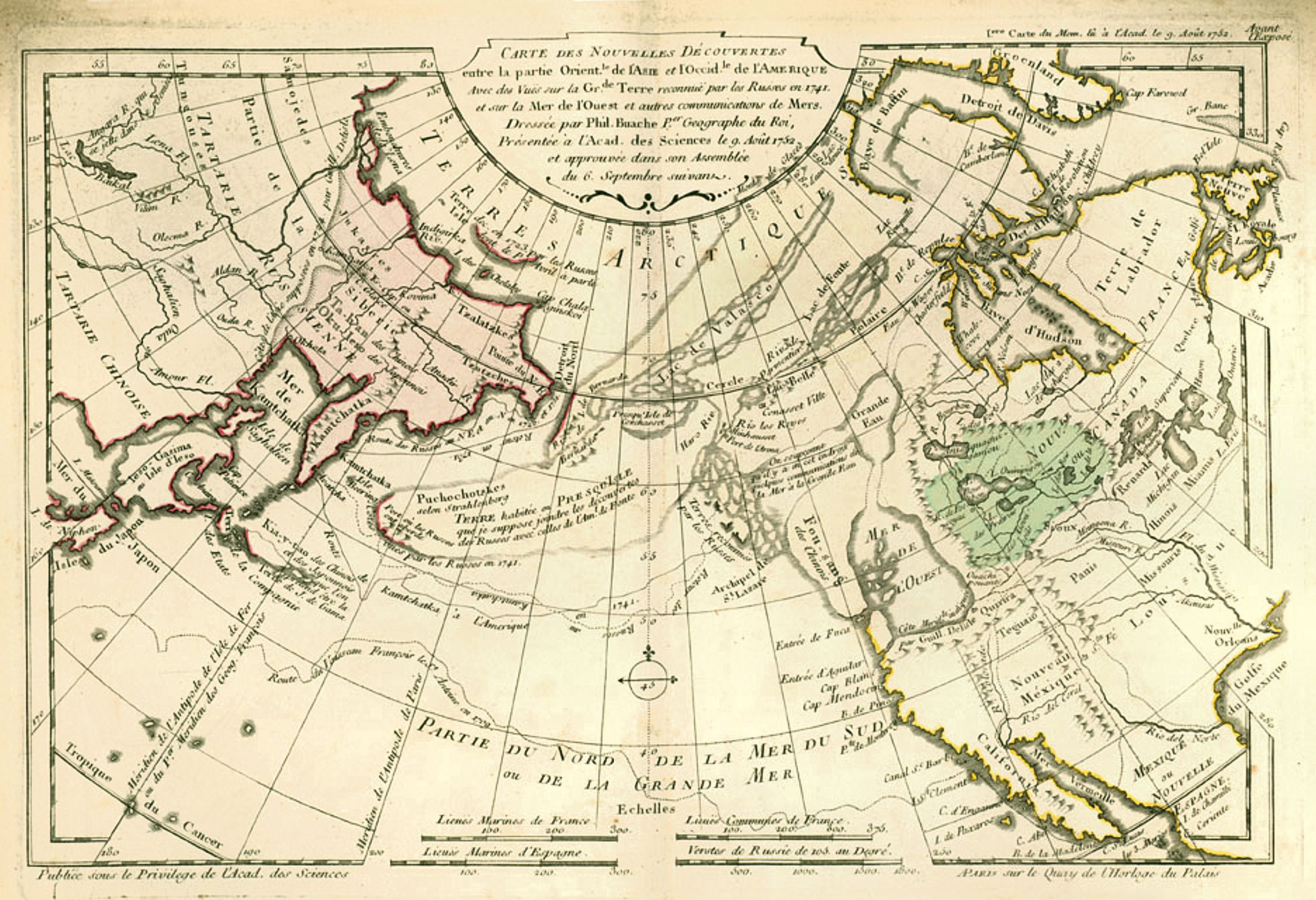
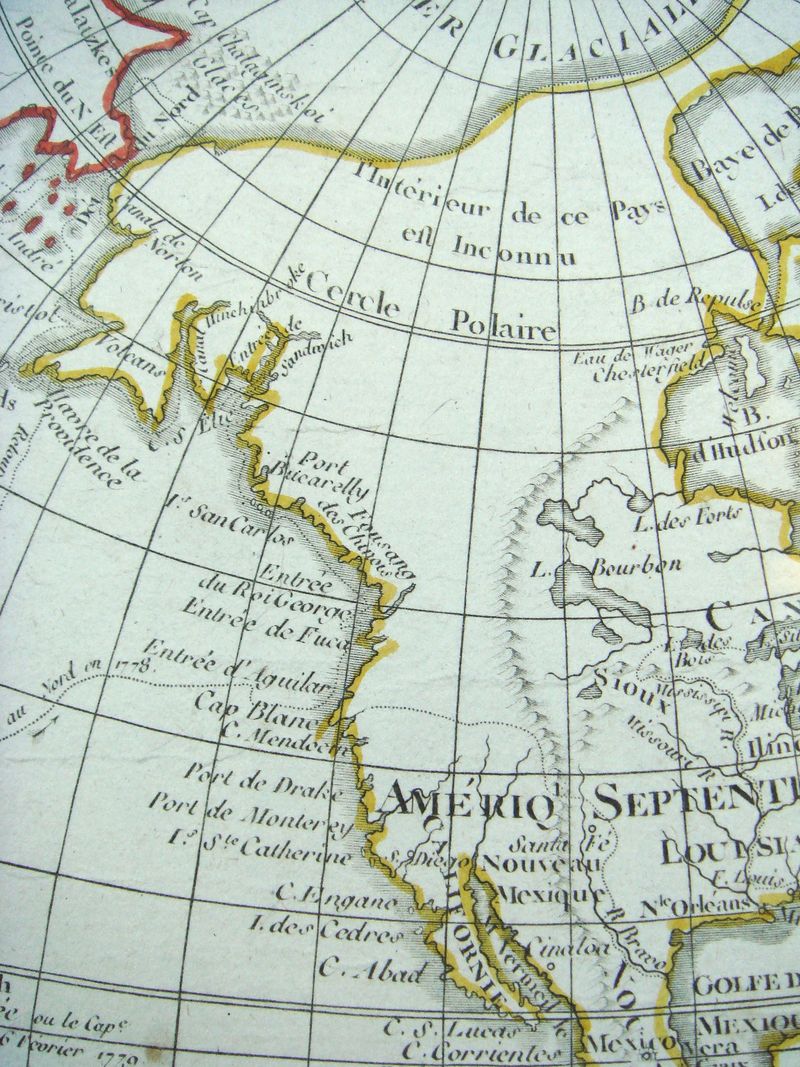
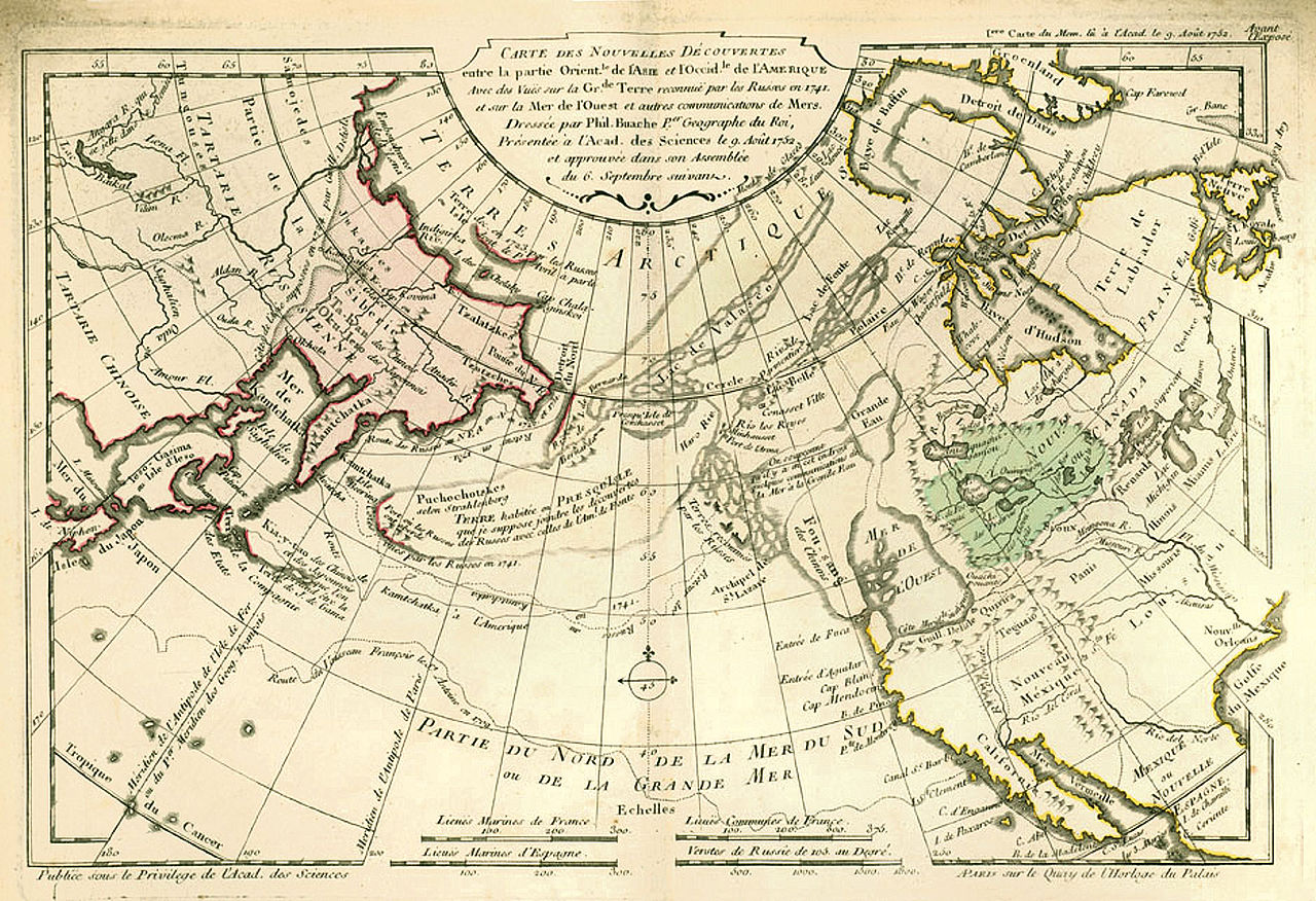

- Click to clarify and enlarge
Source https://en.wikipedia.org/wiki/Fusang#/media/File:Buache1753Map.jpg
I’m not faulting M. Buache whatsoever in telling this little tale of prospective Geography–he produced (for his time) an excellent map of not very well understood and distant places.