JF Ptak Science Books Post 2445
Soil survey maps have long been favorites of mine–not because of the soils part (which is a fascination all on its own) but for the terrific amount of human geography. The maps are usually quite large and cover areas that are quite small (relative to other maps), and the folks who went out to collect the data also helped to collect much of the human-impact stuff as well. Not only are roads and canals located, but so are distant farmhouses and barns. As you can see in the first detail ,individual structures are located along the streets in LA central. The maps are really pretty extraordinary.
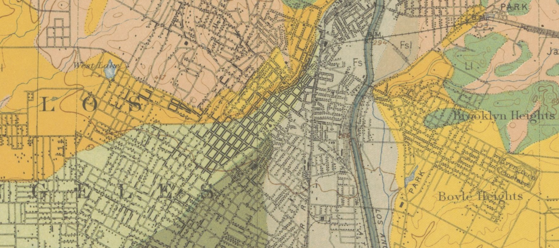
[Mesmer, Louis. Soil map, California, Los Angeles sheet., Map, 1903]
And a bit lesser detail:
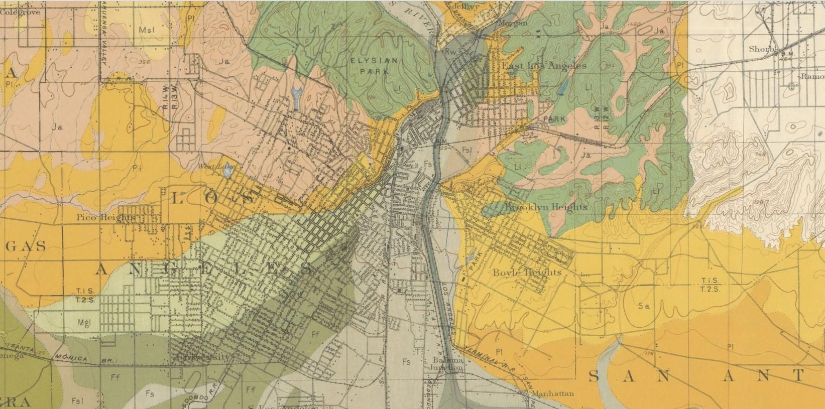
And the full map:
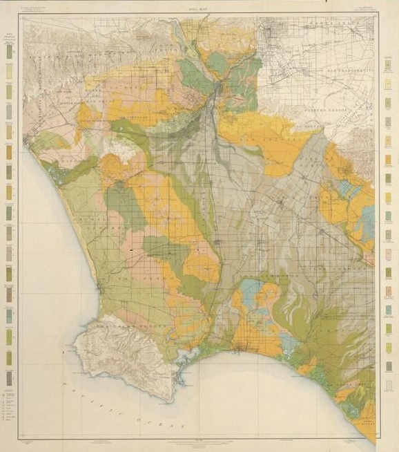
This copy is NOT my copy of the map–it is simply too large for me to digitize. The copy that I’m working with above is from Texas History, with a fine, full, interactive and very zoomable map, here: http://texashistory.unt.edu/ark:/67531/metapth193395/m1/1/zoom/
- “Map shows soil composition, roads, railroads, city and town street layout, structures, and watershed. Includes soil profile and legend. Relief shown by contours and spot heights. Scale [ca. 1:62,500].”–from the Portal to Texas History website (as above) Baltimore : A. Hoen & Co. Lith, 1903. 35×30″
That said, I think my copy is in better condition, and can actually be purchased from the blog’s bookstore, here.