JF Ptak Science Books Quick Post
The Chaco-like overlay in this map of midtown/lower Manhattan has a lot of creative opportunities in it–like showing a map of an enormous and mysteriously removed Manhattan, or just-discovered earthworks that were somehow dug into bedrock, and so on.
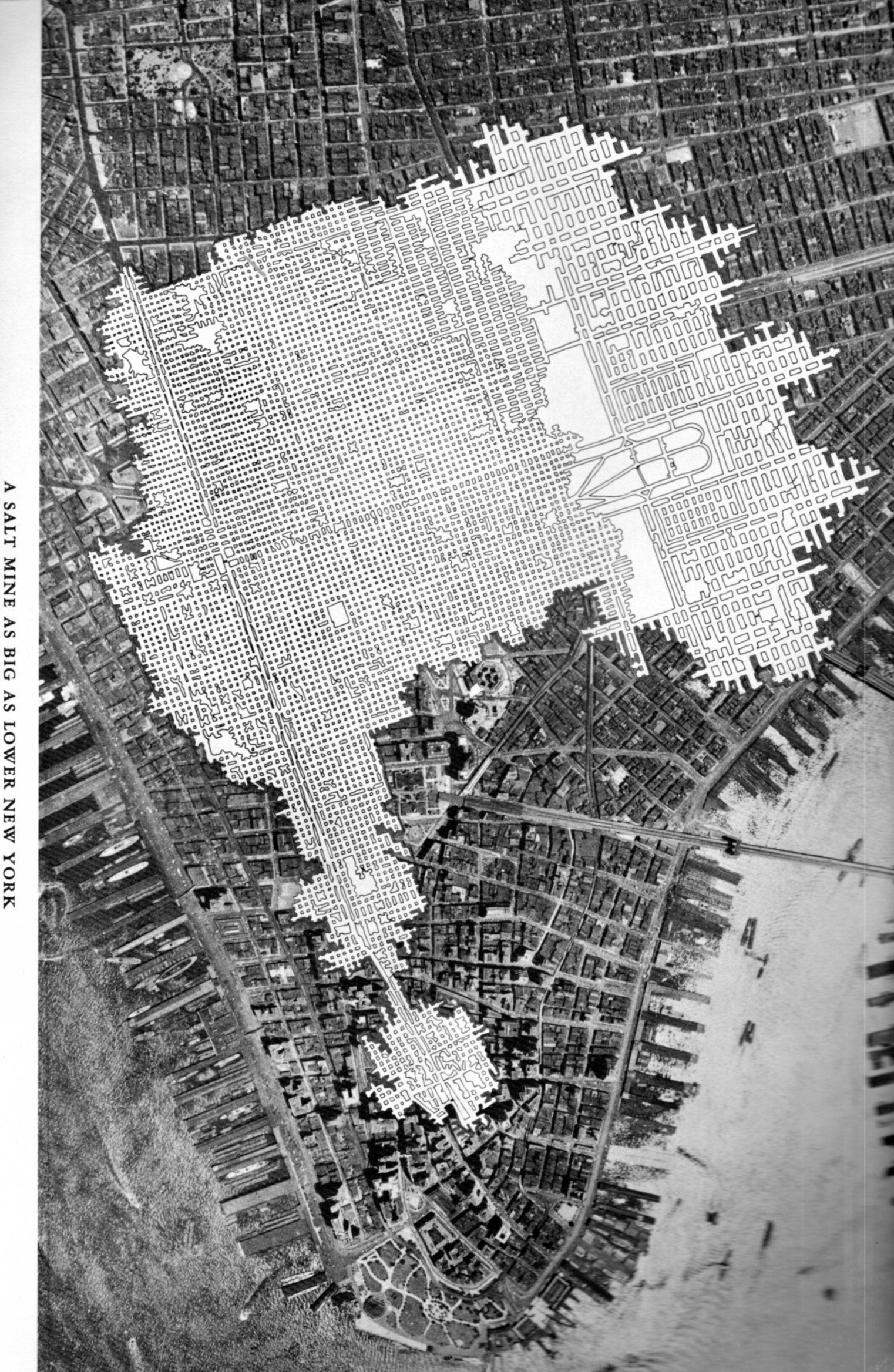
But it isn’t. It is a salt mine comparative overlap using Manhattan as a unit if measurement.
Talk about the “Great White Way”– this elaborate footprint of salt works, with its wide and short-ceilinged rectangular tunnels that are all illuminated white surfaces would challenge anything that Broadway (ca. 1948) offered. “A Salt Mine as Big as Lower New York” is an unusual map to my experience–of course there must be many of these maps available through the years by the companies that mined salt (and coal, and so on) but to my experience they are not often published for public consumption. The map below is an exception, and simply depicts the rock salt mine at Retsof, NY, (“the largest in the world”).It appears in the unevenly-titled Salt Empire of the Largest Producer of Salt in the World, and was published by the International Salt Company in 1935.