JF Ptak Science Books Quick Post
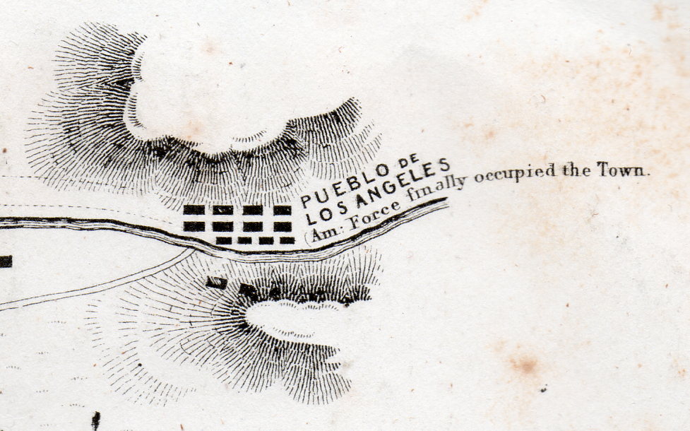 [Detail of a one square inch area in the original.]
This lovely map has a few tiny bits of unexpectedly weird details–I mean they’re historically accurate and all, it is just that removed and presented apart from the context of the rest of the map the details take on a peculiar–and attractive–surreal quality.
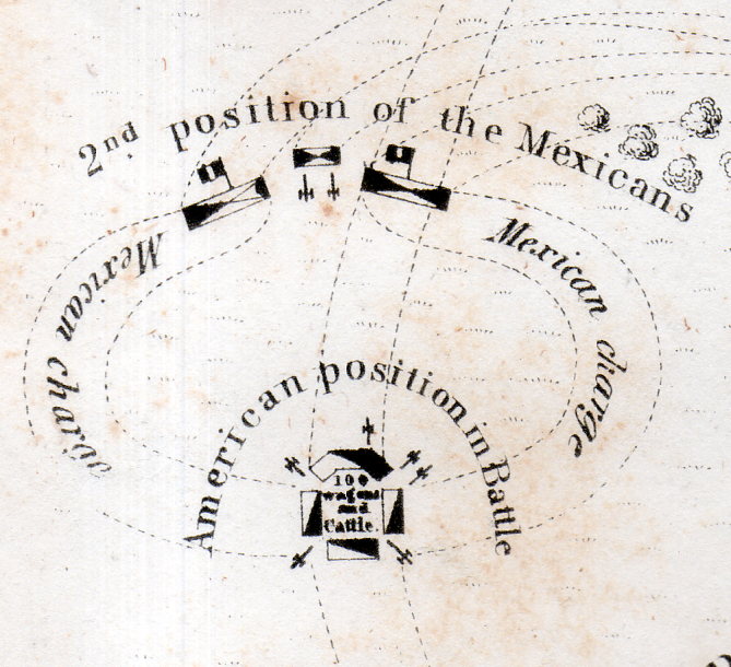 [Detail of a one square inch area in the original.]
The map is a Sketch of the Battle of Los Angeles Upper California fought between the Americans and Mexicans, Jan 9, 1847, and published in 1848. The map depicts the grounds of the Battle of the San Gabriel River, a victory for the United States, which resulted in the retaking of Los Angeles from the Californos a couple of days later, on January 10.
Full explanations of the battle can be found in a number of places, but this one is pretty concise and clear.
,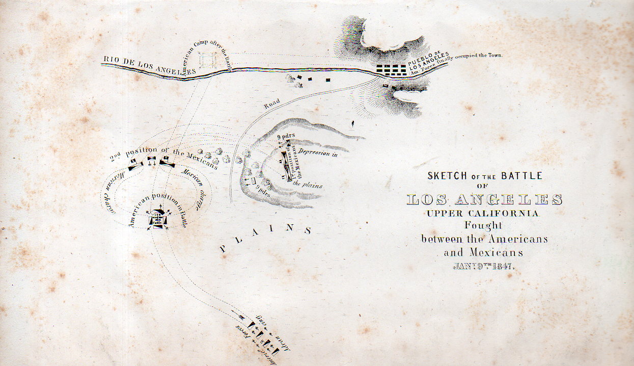
Origin: EMORY, W[illiam] H[emsley] (1811-1887). Notes of a Military Reconnaissance, from Fort Leavenworth, in Missouri, to San Diego, in California, Including Parts of the Arkansas, Del Norte, and Gila Rivers…Made in 1846-7, with the Advanced Guard of the “Army of the West.” Washington: Senate Executive Document No. 7 [30th Congress, 1st Session] Wendell and Van Benthuysen, Printers, 1848. (13 x 22.2 cm; 5-1/8 x 8-3/4 inches). A bit of foxing, otherwise a good copy of this map.
This map is available from our blog bookstore, here.