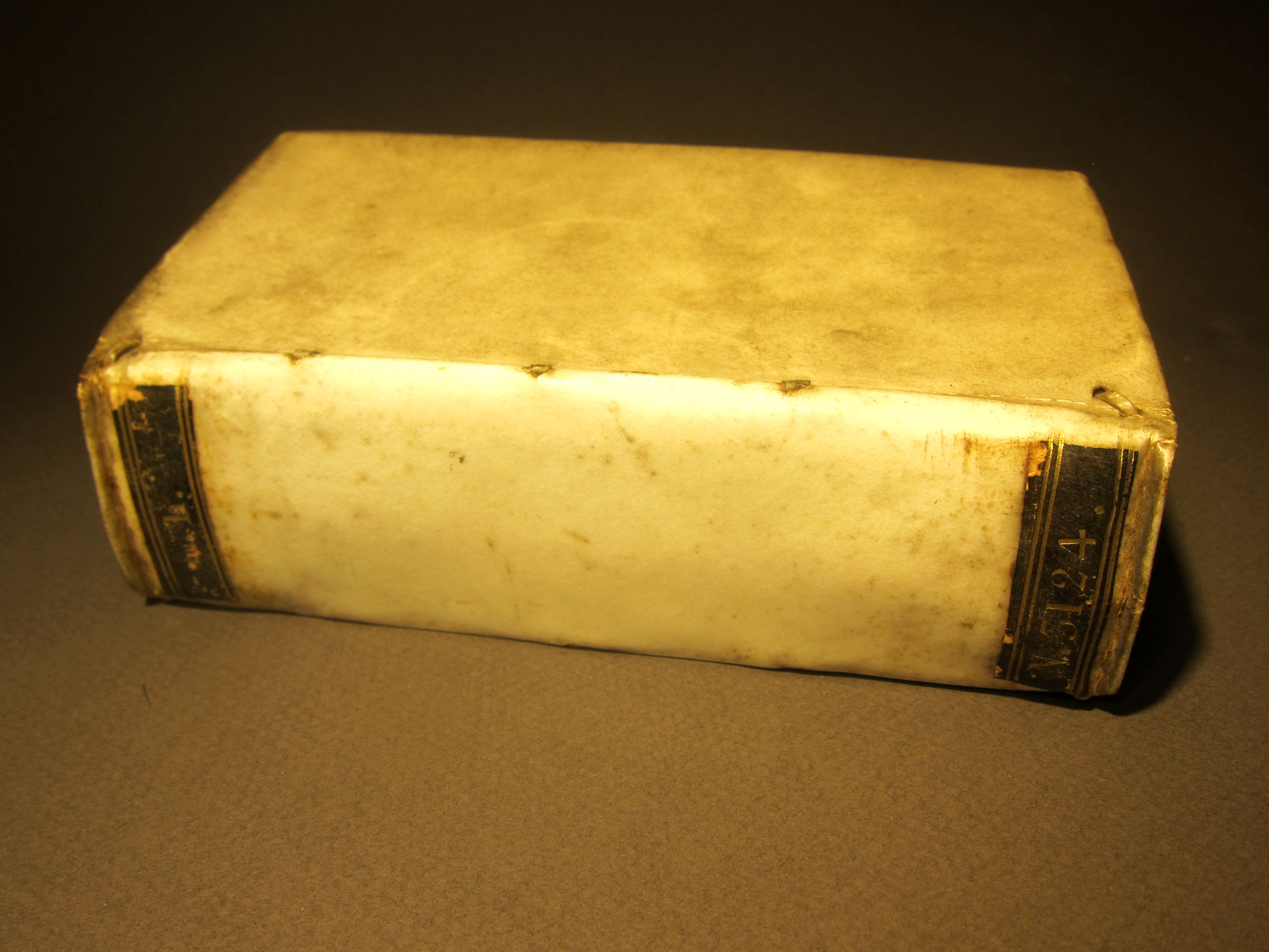
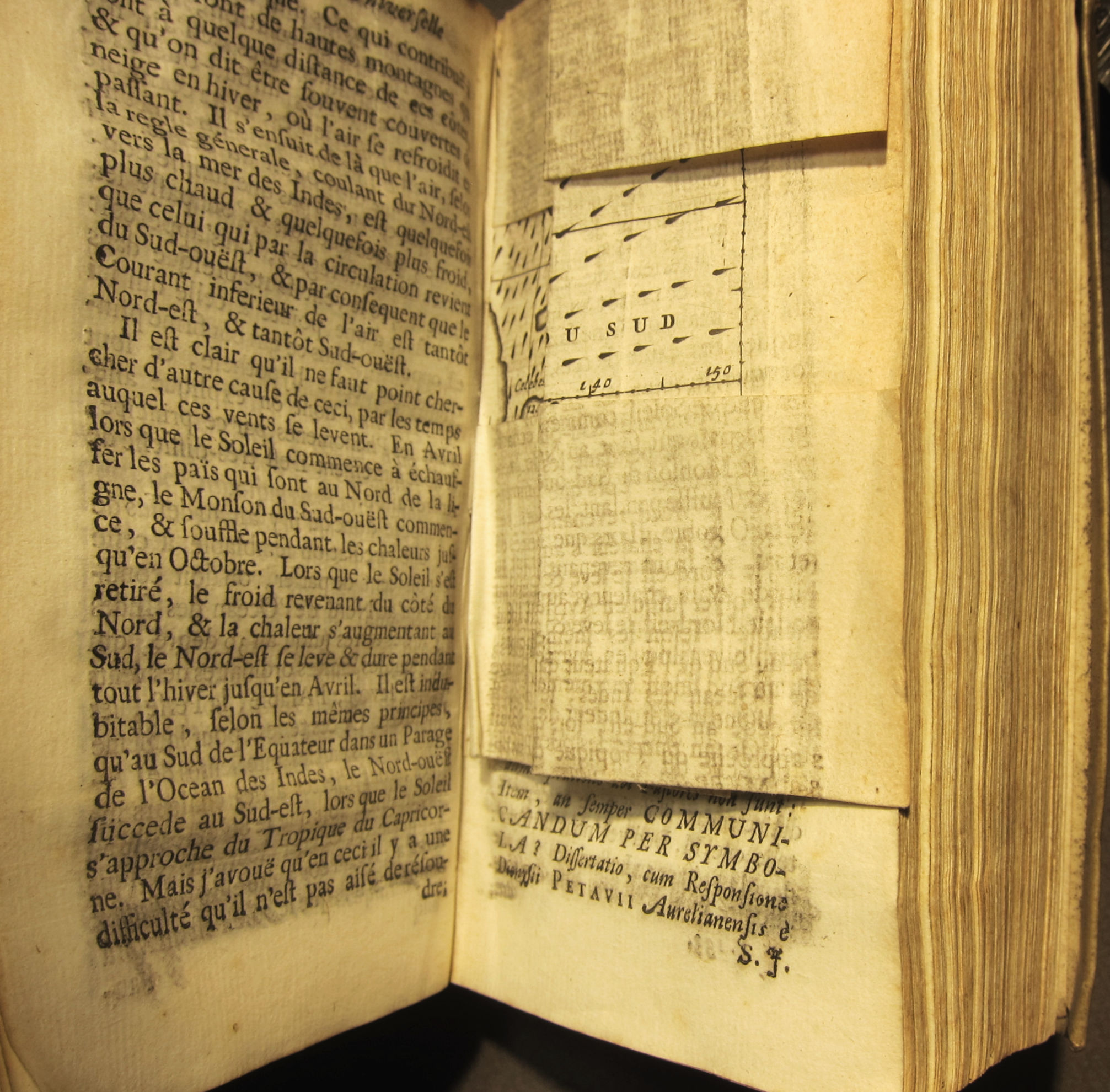
HALLEY, Edmund. “Extrait du Journal D’Angleterre, contenant one Relation Historique des Vents reglez & des Monsons que l’on remarque dans les Mers qui sont entre les Tropiques, ou qui n’en sont pas éloignées, avec un Essai de Physique touchant leurs causes naturelles par Mr. Halley”, in Bibliothèque universelle et historique, Amsterdam, 1687, published by Warsbergew, Boom, and VanSomeren; vol 4, pp. 66-93 in the volume of (18), 552, (22)pp, with two folding plates, one of which is the first weather map. 142X80mm, bound in vellum. $1250
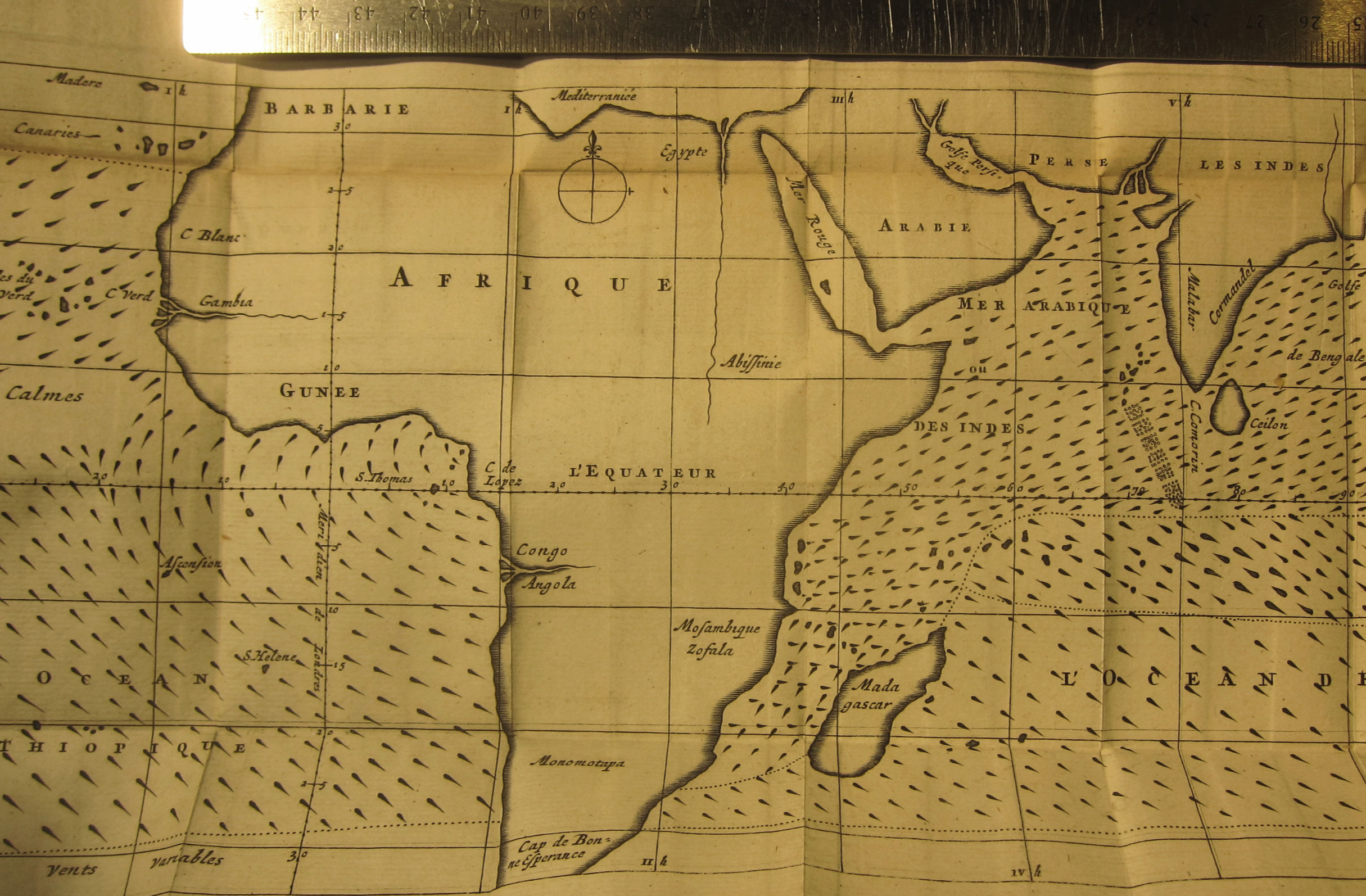
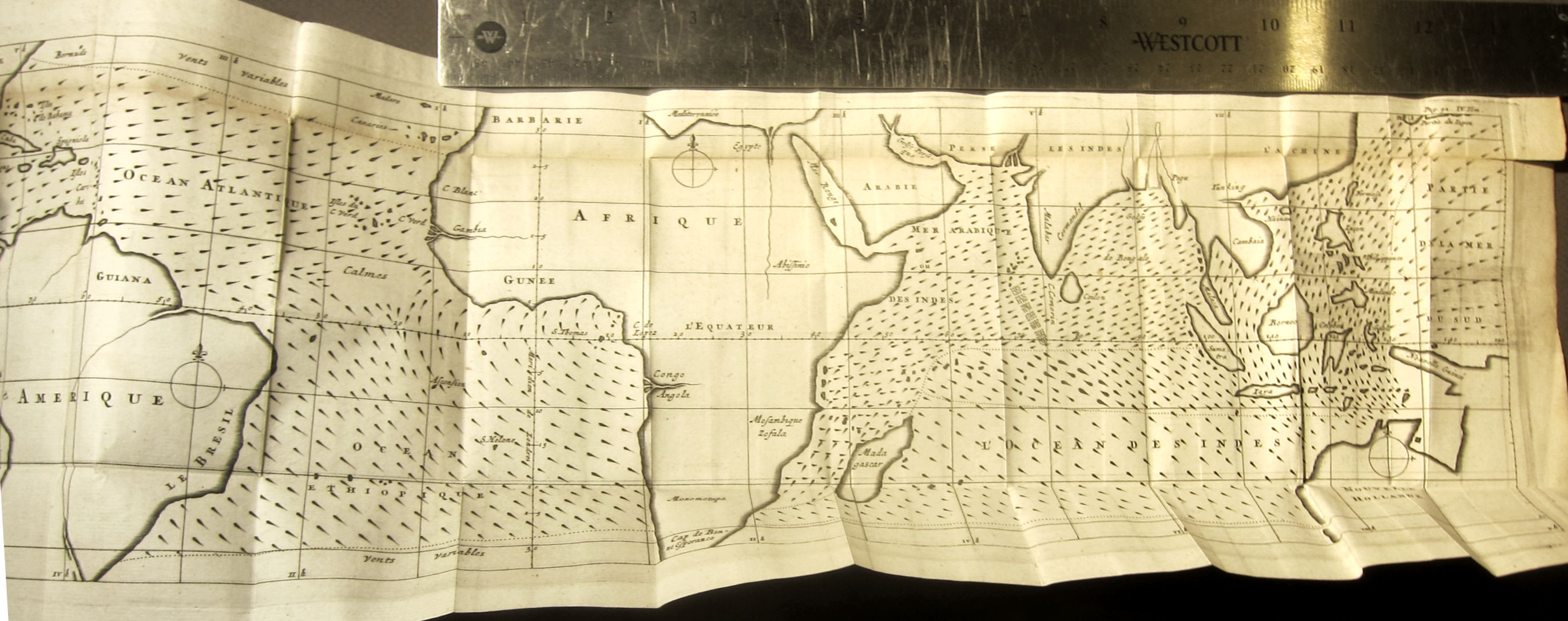
The famous map (14.8 × 48 cm) is very fresh and strong, and has only one minor defect—a small 1/2” teat at upper right edge. Other than that it is in excellent condition.
This is the French translation of Halley’s “An Historical Account of the Trade Winds, and Monsoons, Observable in the Seas between and near the Tropicks, with an Attempt to Assign the Phisical Cause of the Said Wind,” that appeared several months earlier in the Philosophical Transactions of the Royal Society (1686, in issue no. 183).
Here is a summary of the map from the Princeton University site dedicated to thematic maps:
- “First meteorological map, charting the directions of trade winds and monsoons. Having collected information from navigators familiar with ocean transits, and also from his own tropical experience on St. Helena (1677–1678), Halley sought to rectify the work of earlier writers on the subject. He attributes the circulation of prevailing winds to the solar heating of volumes of atmosphere as the earth revolves, which thus draw air after them, forming a generally easterly wind; as the sun departs, the air reverses direction to establish equilibrium. He argues that the effects of continents (and other landmasses) and latitudes complicate but do not compromise the basic principle. (Today, of course, solar heating is viewed as only a piece in the puzzle of winds; ocean currents would be another. Adding Halley’s wind map data to Eberhard Happel’s 1675 map of ocean currents [see his entry in the Hydrography section] would make an interesting thematic map.) Elsewhere in the article, Halley correctly identifies the West Indies as the source of hurricanes in the Atlantic.
“On the map, rows of brief lines show the course of the winds; the sharp ends of those lines point to wind sources. Where winds go back and forth, notably in the monsoon-prone area of the Indian Ocean, the lines are thicker than elsewhere and point both ways.”
Had Halley–called Father of Dynamical Meteorology—not made his important contributions to astronomy and other fields he would have been remember for being the first geophysicist, and also perhaps the earliest thematic mapmaker.