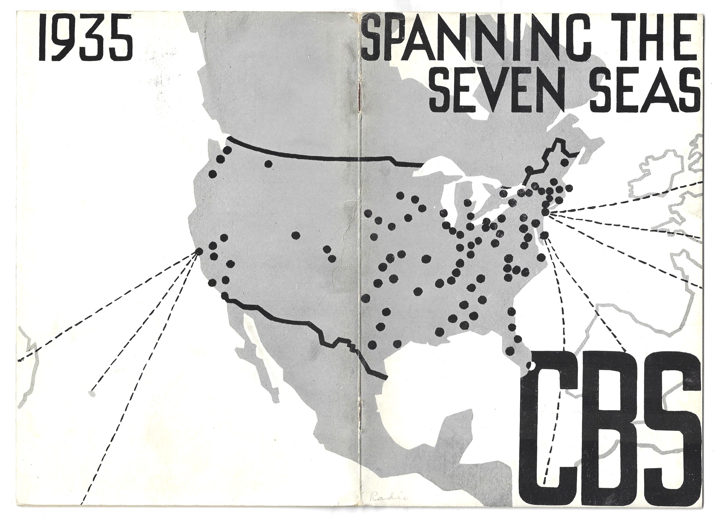
RADIO, Intercontinental. CBS. Spanning the Seven Seas, a resume of Inter-Continental Broadcasting in 1935. Published by the Central Broadcasting System, London, 1935. 8” x 5”, 11pp. Original decorated wrappers. VG condition. Provenance: Library of Congress with their stamp. $75
Curiously there is only ONE copy located by WorldCat (Bibliothek der Stiftung Deutsches Technikmuseum,Berlin).
This pamphlet discusses the CBS (at that time the world’s largest radio network)”affiliates and partners, and the new increase in transoceanic relays (with the “result that all five [sic] of the continents have at various times been linked to each other”). At this point CBS was only about eight years old, starting with 22 station in 1928 and then going over the 100 mark by the late 1930’s.
The cover (front and back) is a revealing insight into the early days of transoceanic radio communication.