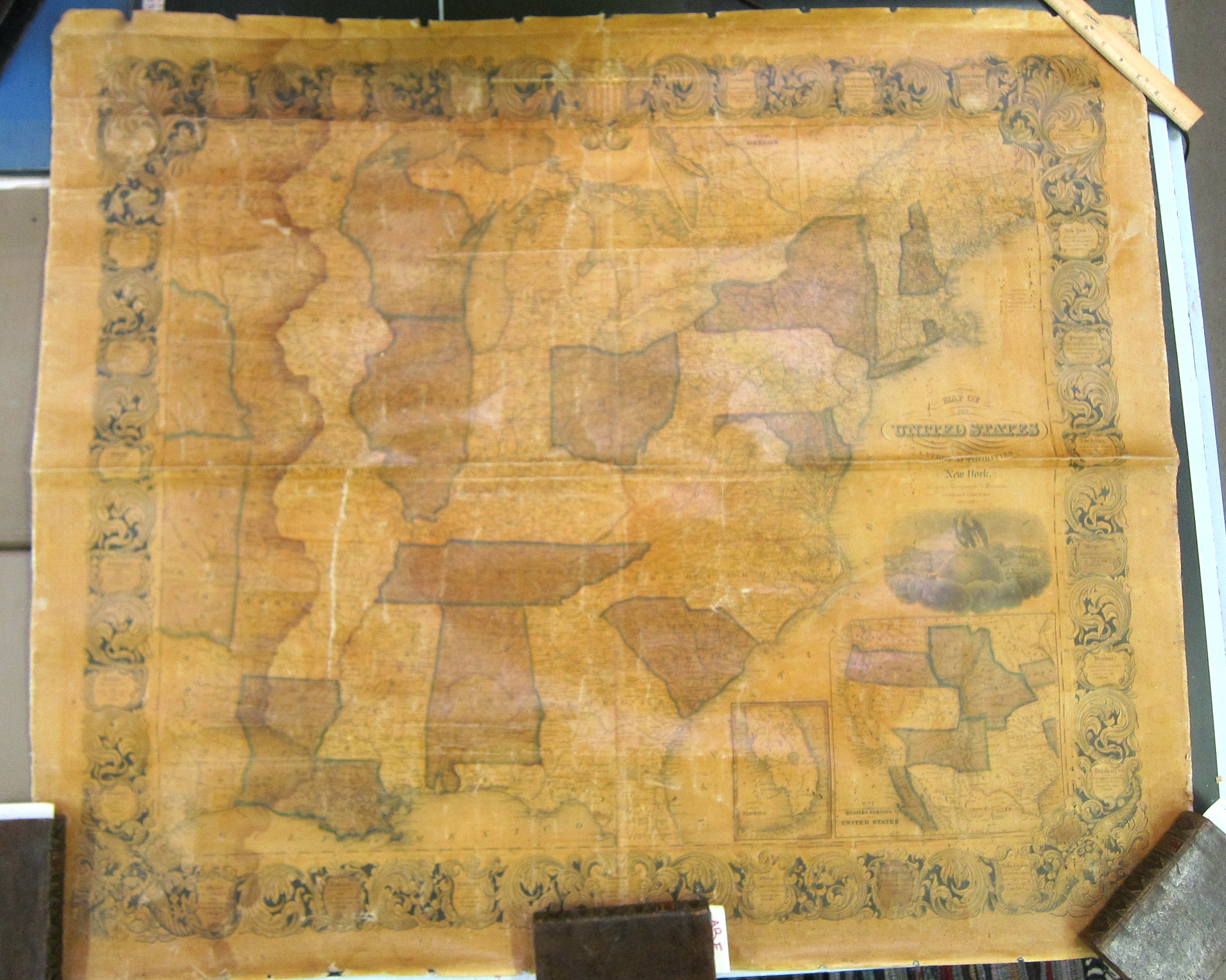
Map of the United States from the Latest Authorities. Thayer, Bridgman, Fanning. 1853.
Large 44” x 38” wall map showing cities large and small, rivers, lakes, and other natural formations. The map covers the United States to just west of the Mississippi River, getting into east Texas and north to the Canadian border. There are two inset maps: one smaller, showing Florida; the other larger, showing the rest of the U.S. Territories to the West Coast.
Uncommon. No listing for this map in WorldCat/OCLC. $2500.00
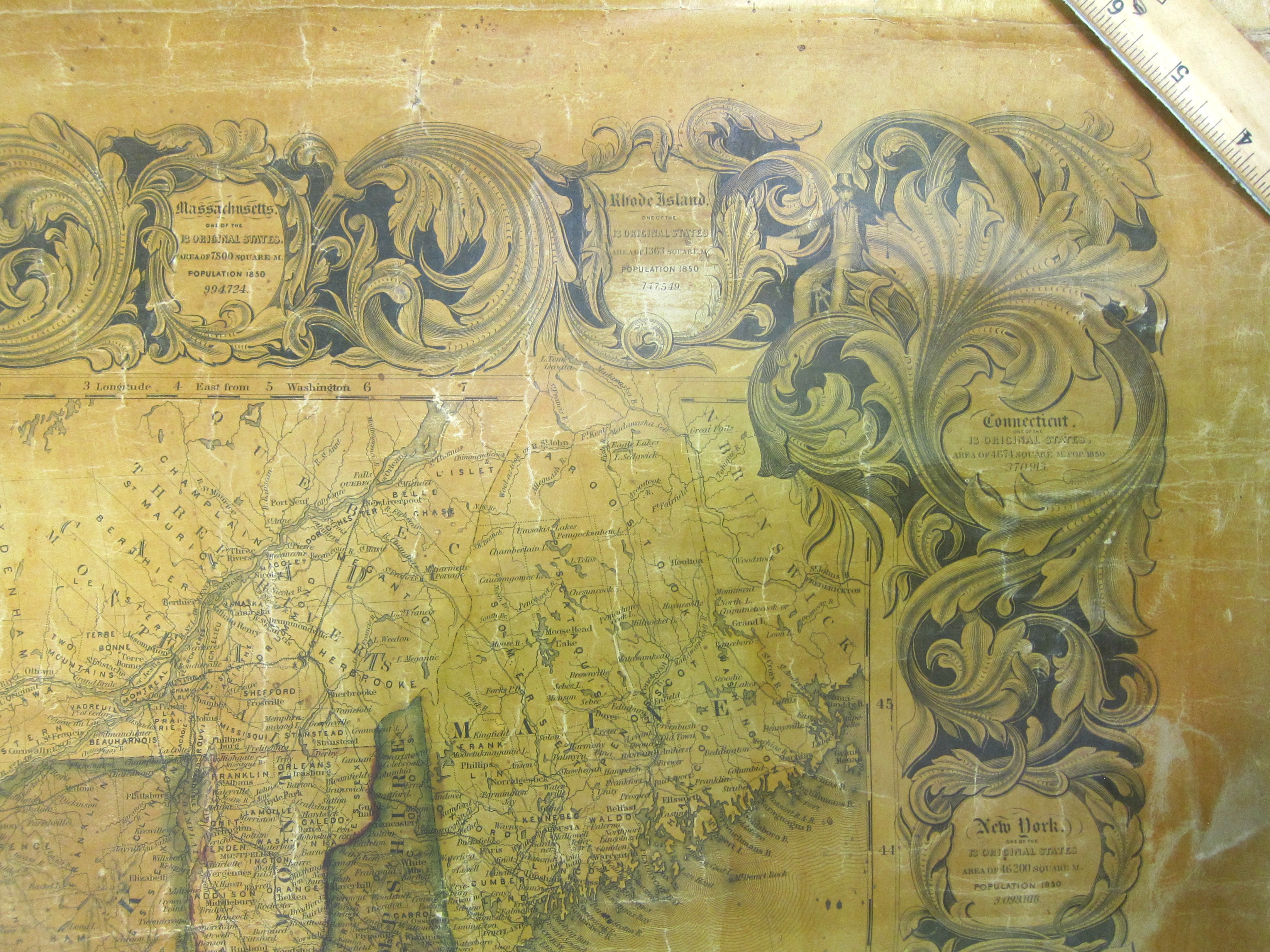
There is a charming cartouche, with the highly decorated borders featuring the names of the states with their very basic data.
Numerous cracks across the surface of the map as you can see in the detail photos.
Full margins.