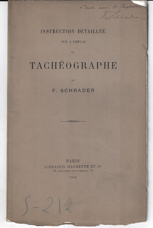
Franz Schrader. Instruction Detaille sur l’emploi de Tacheographe de F. Schrader. Paris, Librairie Hachette, 1900. 8×5″ 22pp, illustration. Original wrappers. Signed presentation copy (“A mon ami A. …..”). Condition: the covers are chipped along the edges, including a small chip at top right which removes about a quarter of the dedicatee’s name. Internally quite nice, and mostly unopenned. GOOD copy. SOLD
The tachograph is ” … a clever surveying instrument remarkably simple in theory and manipulation which has for several years been in use on the Continent but has not been noticed yet in this country [England]. It is the universal tacheograph of Victor von Ziegler a well known writer on geodesy…The instrument which is constructed in various forms for special purposes belongs to the class of plane table theodolites its chief merits are that horizontal distances and vertical heights are read off at the same time that there are no calculations that the instrument checks itself and that the operations require very little time and skill…”–Scientific American Supplement, October 15, 1898
“THE death of M. Franz Schrader, formerly of the Ecole d’Anthropologie of Paris, which occurred in October, removes one of the most eminent of French geographers. Born at Bordeaux in 1844, Schrader travelled widely in Europe in his youth and served in the Franco-German war. By the influence of Elisee Reclus he turned to geography, his interests lying in the human rather than the physical aspect. But it is for his cartographical work that Schrader was best known. He completed and published in 1893 the “Atlas Universal de Geographie” begun by Vivien and Saint-Martin many years earlier. The last edition of this atlas was published in 1922 and is the principal French atlas of the time. Other notable works of Schrader were” Atlas de Geographie moderne” (1890) and “Atlas de Geographie historique” (1896). He was the editor of the annual publication entitled “L’Annee cartographique,” which records all new publications in cartography and exploration. As a keen alpinist, Schrader found much interest in devising his tacheograph by the use of which he produced his “Carte des Pyrenees centreles.”–Nature, 20 December 1924