A Daily History of Holes, Dots, Lines, Science, History, Math, Physics, Art, the Unintentional Absurd, Architecture, Maps, Data Visualization, Blank and Missing Things, and so on. |1.6 million words, 7500 images, 4.9 million hits| Press & appearances in The Times, Le Figaro, Mensa, The Economist, The Guardian, Discovery News, Slate, Le Monde, Sci American Blogs, Le Pont, and many other places… 5000+ total posts since 2008.

Category: Aviation & flight

  • Balloons and the Defense of London, 1938

    Bloglondonballoon

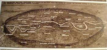
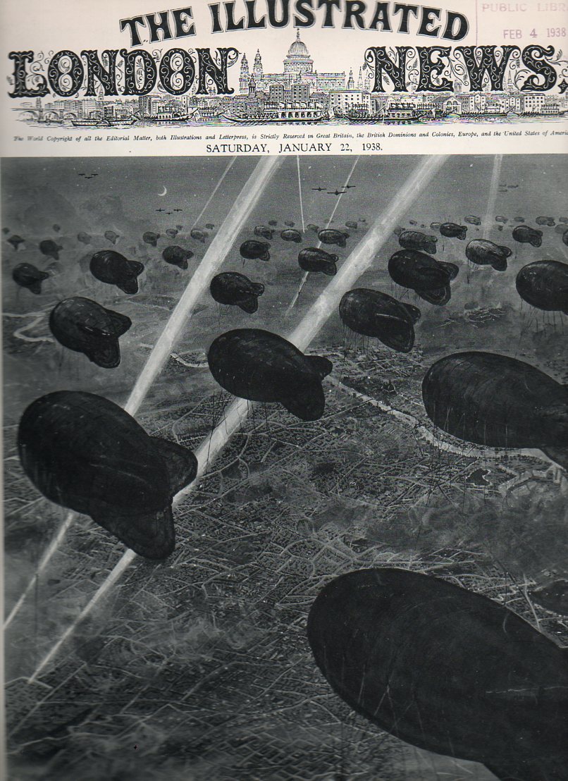
    This series of drawings, published in the Illustrated London News 22 January 1938 (available hrough our blog bookstore),  by the incredibly prolific and detail-oriented G.H. Davies depicts one segment of the city defense program being formulated by the British government in the last year  or so leading up to the beginning of the European end of World War Two. (I own 150 or so of these images by Davies–he never fails to provide the detail where you need it.)   The overall plan for defending major British cities consisted of anti-aircraft guns, searchlights, R.A.F. fighter squadrons and interceptors, and the “Balloon Barrage”.  London and suburbs are featured here, all to be protected by a series of ten squadrons of fifty balloons each, handled by a crew of ten.  The thinking was that it would make low-level bombing by fighter aircraft impracticable, and force any aircraft attempting such an approach to a higher altitude where they would be theoretically susceptible to the interceptor squadrons. 
    Balloon defenses155

    BloglondonballoonbottomI’m not terribly sure why the thinking was against low altitude attack, but my best guess is that the planners were thinking about the He-111Bs and Ju52s or other such aircraft that the Nazis checked and tested out against the Spanish Republicans during the Civil War. Perhaps freshest of all memories of the German operation Feuerzauber (Magic Fire) was the Guernica raid, just a year or so before the publication of these images, where that militarily insignificant town was attacked from the air in twenty minute intervals over three hours, destroying it in a terror blitz.  If I was sitting around a big table at 10 Downing, I’d have that picture in my head.  .

    Bloglondonballoondetail

    Be that as it may, the “air mine field” looks terribly inefficient and vulnerable to me, sort of like an exposed Maginot Defense Line, but without the very deep misunderstandings that went along with the highly questionable French effort. 

    Explanation of the Images:

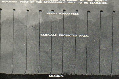
    a)    The first image shows the iBloglondonballoonsbottoncredible perimeter defense network, which extended ten miles around St. Paul’s; the balloons were moored at 100 yard intervals, making for 1100 or so balloons to “fence” the perimeter.
    b) The second image shows  London center and immediate suburbs, with another 500 balloons in a smaller circle inscribed in the larger.
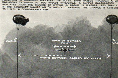
    c)  The third image  is a close-up of the balloons, looking down;  seems as though they were tethered at about 2000 feet or so
    d)  The last image is a close-up of London center.


    Balloon defenses158
    Balloon defenses159
    Balloon defenses156 Balloon defenses157


  • Proust Suits and Pressurized Cabins

    JF Ptak Science Books   Post 1341


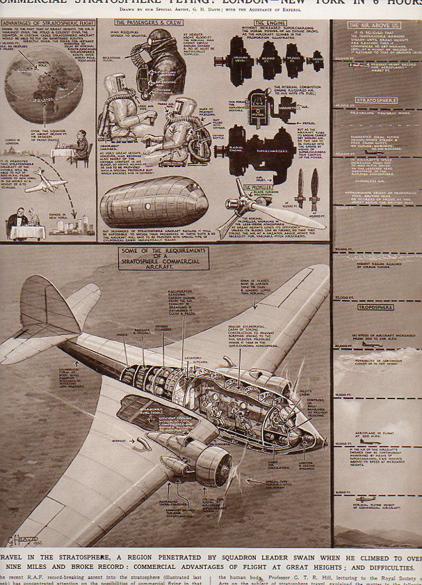
    If I put my literary specs on and do a little free-association,  what I see in these two figures is a Proustian thing, characters in search of time, freezing time, preserving it. Time, and everything else, everything that can be associated with a human experience captured and recaptured, recirculated, resuscitated, replayed, re-envisioned, remembered, recognized, over and over again.  Kind of like a memory hell, in a way, only in Proust’s hands it all sounds and tastes so beautiful. Another peek without those wicked mega-specs and I see two robots from a pulsing Disney film, actions in search of characters–the possibilities are endless, particularly if you develop a little narrative. The real story of what is happening here is complex version of a simpler solution.

    Pressure404

    And the key to it all: hypoxia.

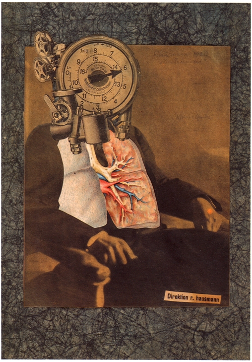
    But I can’t leave this without at least a mention of Raoul Hausmann, whose “Self Portrait of a Dadasoph” is related to this line of collecting consciousnesses:

    hausmann

    When this next image was published in the Illustrated London News in October 1936 the practical application of tropospheric flight was just about a reality.  I should really say “popular” more so than “practical”.  It presented two approaches to a looming problem in the progress of aviation–reaching altitudes in excess of 10,000 feet begins to present a host of problems to the passenger of that aircraft.  The solution was to combat the pressures of high altitude flight, one of which was to pressurize each passenger and crew member in their own “space suit”.  The combination of the artist G.H. Davis1 and the technical assistant compared this solution to the problem with a more simple and elegant solution.
    Pressure405
    And that was relatively simple, at least in thought experiments: rather than pressure everyone individually, you could place everyone in a pressurized environment within the aircraft.  And this is the point that the artist/techie make–earlier engineers came up with simple solutions to traveling at high altitudes–they just weren’t simple enough.  And compared with the better design, the initial, simple, designs look a little monstrous.
                                   
    Notes:

    1. I include Mr. Davis as an iconic figure in the history of 20th century technical illustration–he has been featured on this blog many times.


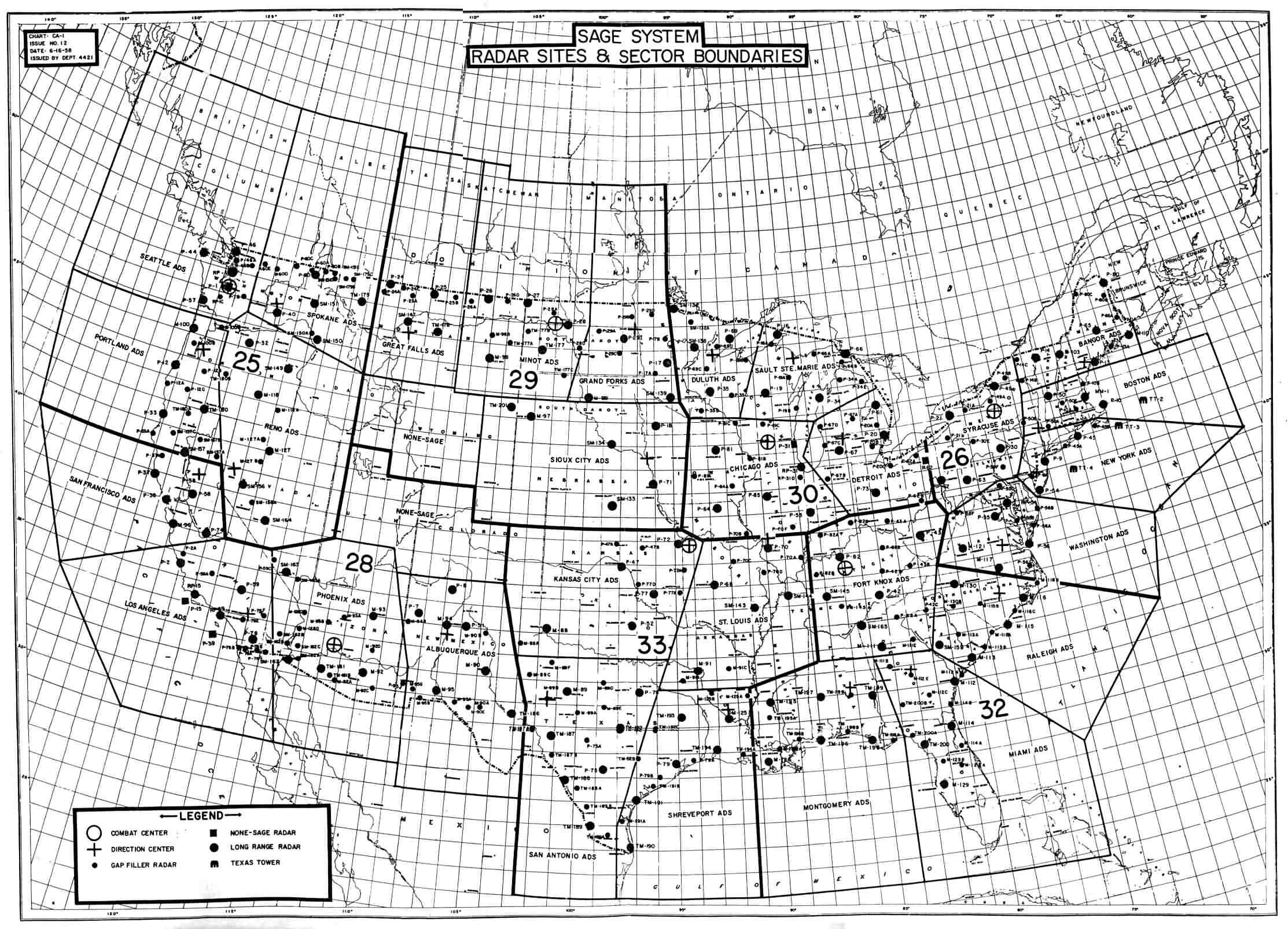
  • The pre-pre-Internet? The SAGE Defense System, 1959-1983.

    JF Ptak Science Books   Post 1341

    Quality Control of America’s Anti-Bomber Defensive “Shield”: the SAGE System, 1958

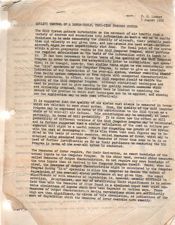
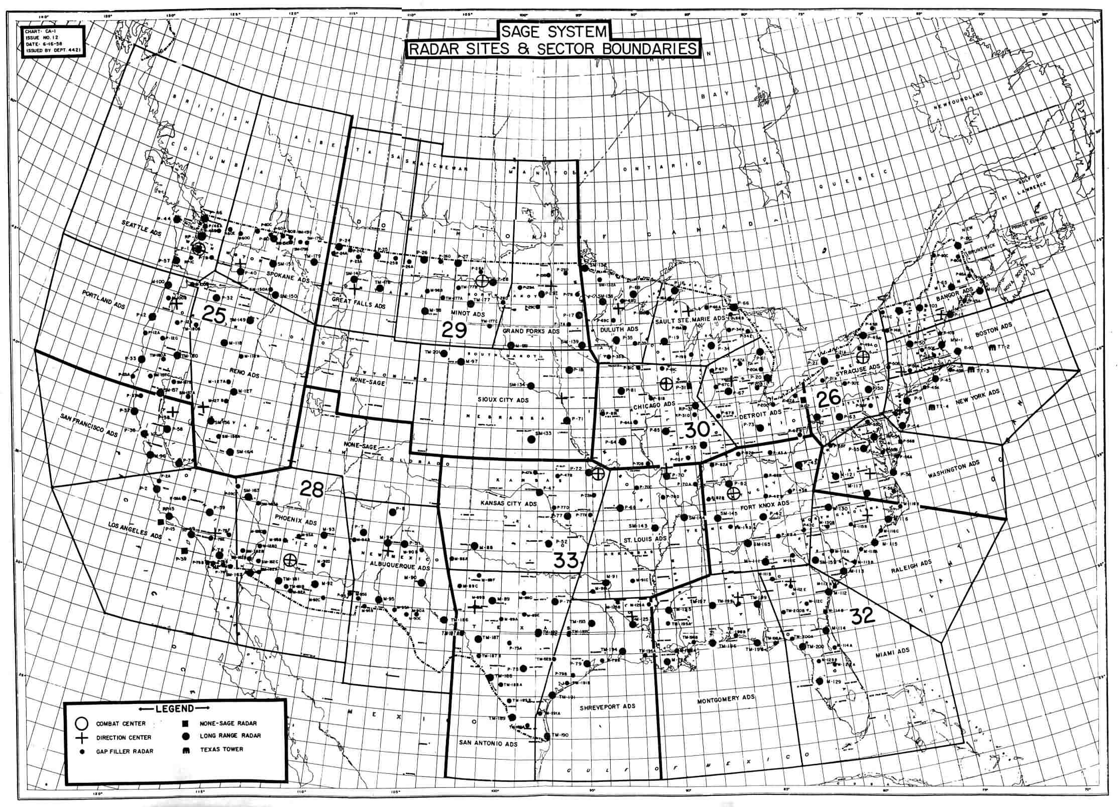
    SAGE403 The SAGE  (The Semi-Automatic Ground Environment) was an “air traffic control device”1 that was used to detect enemy aircraft, relate their position and speed to interceptors which would destroy the threat.  It was basically the air defense shield against attack of North America by Soviet bombers (in the pre-ICBM days of MAD). The MIT/IBM SAGE system was enormously important in the history of computing because of its many real-time, interactive and online aspects–it was an enormously successful and futuristic system, one of the “best” computers ever built. This paper on the computer’s ability to self-reference and check itself, by P.K. Luster, was written in 1958 and serves as an interesting insight into quality control for the world’s first nation-wide computer communication network.

    Luster (who at one time worked for a contractor in Arlington, Virginia, named the John D. Kettelle Corp) was one of hundreds of programmers who worked on the system, and in this case, for this effort of his, he looked at various ways for selecting the proper way for a SAGE to monitor itself in real time and make assessments of its own reliability.  This was a very tricky bit, of course.  SAGE was the largest computer ever built–it had 23 installations in the U.S. (And one other in Canada) each given the possibility of tracking about 400 aircraft at one time.  SAGE would track these developments, coordinate all efforts in response, and then if the flights were determined to be hostile /Soviet forces, would destroy the buggers with responses from “nuclear tipped” BOMARC and Nike missiles. (The Boeing Michigan Aeronautical Research Center and Nike missiles each carried a 1-5 kiloton warhead, enough so that if it was near its target it would be able to destroy it.The BOMARC looked like a jet aircraft; the Nike looked like a multi-finned, very sleek ultimate 1950’s imaginatively-styled rocket ship, but real.) Trying to insure that the system was accurate was a major consideration. (This document is available for purchase from our blog bookstore.)

    From Luster’s  paper:

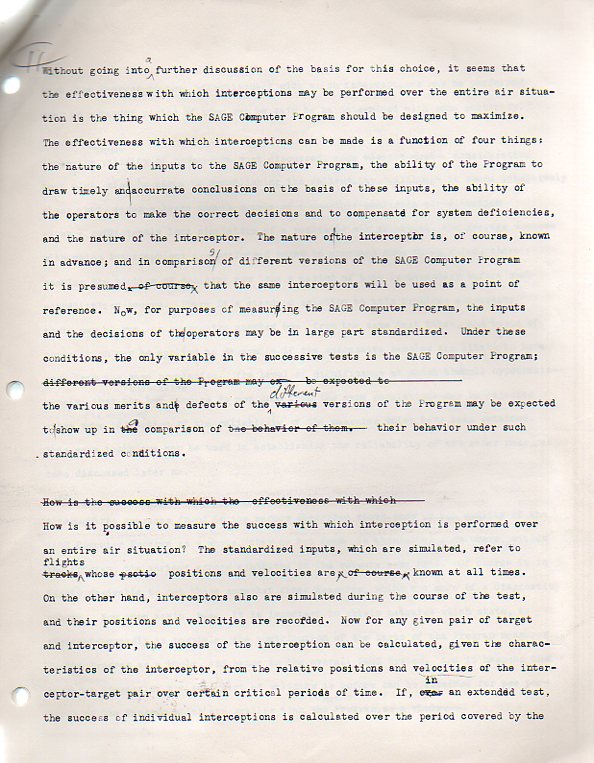
    “It has been necessary to device tests of the quality of the SAGE computer program in order to ensure its acceptability prior to installation and operation…also to run it “live” in order to give an immediate indication of any degradation of the overall system.  In effect, allow the SAGE computer itself to decide the quality of the SAGE computer program…The discussion here is limited to examining the nature of the problem to which such techniques are to be applied, and showing how the application may be made most effectively.”

    SAGE402
    The SAGE system was of course functional, highly reliable, and ws used until 1983.  IT was a kind of early version of the Star Wars defense system envisioned by President Reqgana nd Edward Teller, among others.  Except that SAGE existed and worked.

    It is interesting too to think of it in terms of a sort of pre-ARPANET pre-internet, a pre-pre-internet, in that the system has 24 remote nodes which communicated among themselves.  It doesn’t bear much resemblance to J.C.R. Licklider’s  Memorandum For Members and Affiliates of the Intergalactic Computer Network (1963)–the true first modeling suggestion for a working internet in which all of the main pieces of the internet are present, but it is at least in the neighborhood, as SAGE was the first operational nation-wide real-time computer network. ( It should also be pointed out that Licklider and other of the creators of ARPANET were programmers for SAGE.)  SAGE was in-place by 1959 and operating by 1963, but it had severe limitations as a national defense shield and was ill-equipped to counter ICBMs and SLBMs, but it was kept alive until 1983.   

    Sage network


     Notes

    1.  SAGE did become the template for SABRE as well as for the national air traffic control ssytem.


  • Bombing England, 1940; a “Popular” Look from the Other Side, Part II

    JF Ptak Science Books  Post 1337

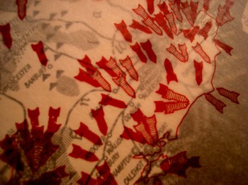
    Earlier in this blog I wrote a post on an illustrated article that appeared in the Illustriete Zeitung for 5 September 1940.  On page 165 is an extraordinary two-part map, the upper part being a vellum-like overlay, showing the German bombardment of England.  (“Bombenregen ueber England.  England muss jetzt allein um seine insel Kaempfen…” )  The template map is in stark black and white, showing locations of “war” industries, chemical plants, rubber works, textile plants, metal industries and gas works . The overlay shows the outline of the island with 150 or so bombs, imprinted with a color code to show what sort of industry it was intended for.

    Dsc04742_2

    By the time this issue of the Zeitung appeared, the Germans had almost spent themselves on their invasion of Britain (11 July-29 October 1940), and were well-past part two of a four-part invasion plane.  The third part would begin two days after the appearance of this article, the clock already almost ticked-out on the Luftwaffe’s ability to pound the Island Nation into submission.  They felt out the defences in part I, while also bombing along the coast and into Liverpool and London itself, mining harbors and waterways, attacking convoys; part II continued the assault and probed and searched out the airfields, aircraft factories and radar sites (while continuing to mine the waters and bomb the cities). Part III continued the heavy assaults on Liverpool, London and other cities, and searched out the RAF–but the German losses were starting to mount up, and the RAF was beginning to win.  On September 15, 185 German aircraft were lost–a huge event–and the plans for Operation Sea Lion were called off, suspended indefinitely.  Battle britain 3 October392

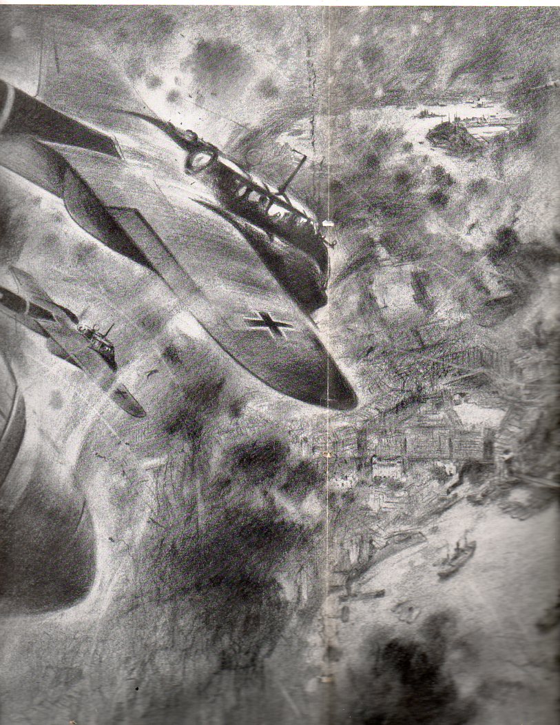
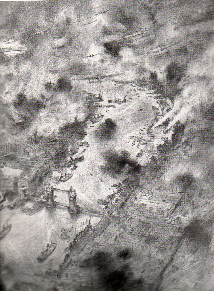
    The 3 October issue of the Zeitung(available for purchase at our blog bookstore, here) presented a large, two-page illustration of the Luftwaffe bombing London, which was suffering under the attack, flaming and smoking.  But the image by this time was mostly propagandistic, the end of the campaign only weeks away, the German air force staggering under the British response.

    Battle britain 3 October394

    The end result was a terrific victory for the Brits, far beyond what the numbers show, even if the numbers are strong.  The U.K. losses included 544 aircrew killed, 422 aircrew wounded, and 1,547 aircraft destroyed.  The Nazi losses were 2,698 aircrew killed, 967 captured (638 missing bodies identified by British Authorities) and 1,887 aircraft destroyed.


    The  Luftschlacht um England, the plan to overtake and destroy the British capacity in the air, was defeated. As long as the English had command of the airspace there would be no way that the Nazis could force an invasion by land/sea (at least in the minds of the Oberkommando der Wehrmacht  and Hitler).  And so the Nazis failed–it was their first major defeat, and, especially, with the turning of attention east, it was a pivotal point of the war.

    ·Posted by :

    ·in:

    —

  • Who Invented Walking? The Indoor Air Show, Empire Air Day, 1938

    JF Ptak Science Books  Post 1307

    I wonder who invented walking? 

    It was certainly one of the first inventions made by our deepest, oldest human cousins, walking,.  And it was probably invented in Africa. 

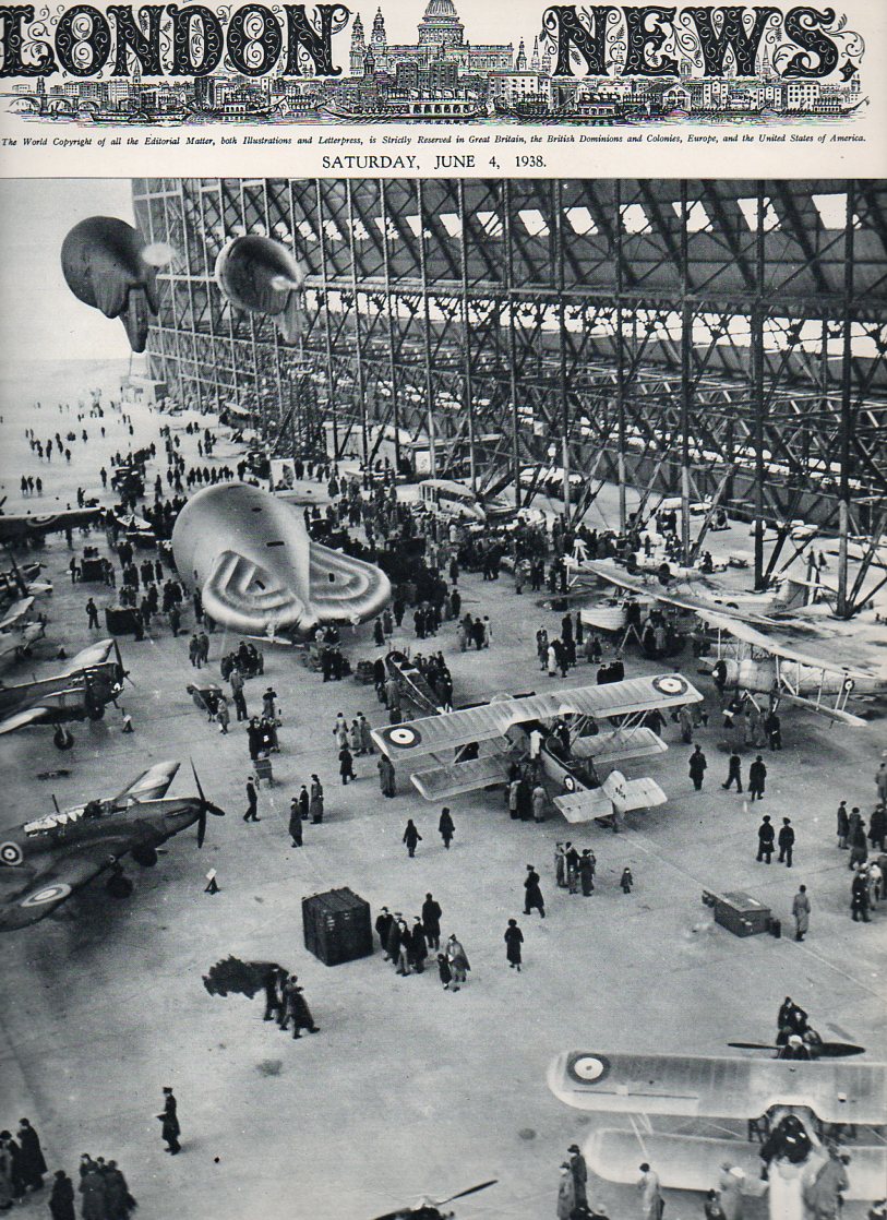
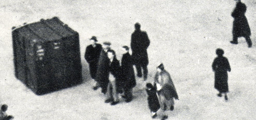
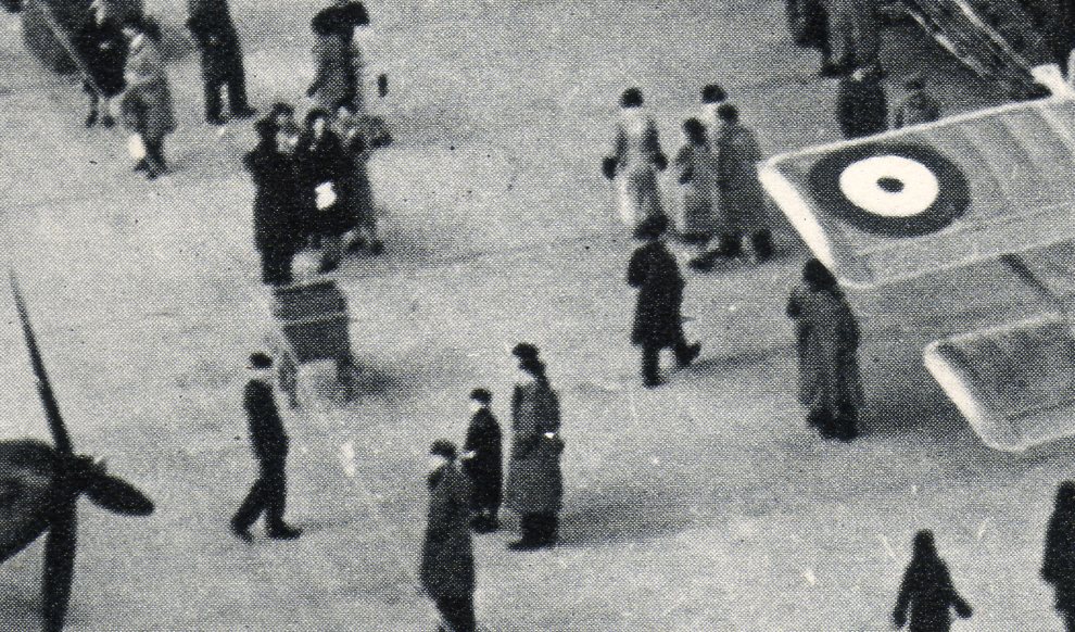
    This thought comes to mind looking at this great photo of the Empire Air Day, being celebrated in England in May 1938.  All of these folks walking around this enormous dirigible hangar (a form of flight that had left the RAF field of interest just a few years before, mostly forever) looking at the best of what was in the air.  The crowd actually looks a little thin to me–were people already getting a little used to having such magnificent things flying overhead, even just 30 years or so into the history of heavier-than-air flight?  It makes me wonder what will be remembered of the earliest days of flying 10,000 years from now.  The answer to that question may be as meaningless as the question I just asked above. 


    Air show-- cvr301

    (This image is available for purchase via our blog bookstore, here.)

    Air show-- cvr b302

    Air show-- cvr b303

    It is interesting to note the barrage balloons (three of which are shown here). The Nazis had only recently admitted that they had an air force, and of course by the middle of 1938 it was a considerable thing.  Hitler had shown his fangs of course and there was war in the air.  Wr doesn’t smell like a desert bloom.  But the Balloons were there, as were the rest of the aircraft, to show the hearts and minds at home that the RAF was a strong arm of the military establishment, and that the balloons were ready to be sent aloft to help protect London (at least) from the possibility of German/Nazi attack. 

    Here are some of the aircraft that were supposed to have been displayed: Armstrong Whitworth Whitley; Armsrong Whitworth Ensign -transport; Bristol Blenheim –  medium bomber; De Havilland Albatross; Fairey Battle – medium bombe; Gloster Gladiator – torpedo bomber; Handley Page Harrow –  bomber; Hawker Hurricane -; Shorts Empire Flying Boat; Vickers Wellesley – bomber; Vickers Wellesley – bomber; Vickers Supermarine Spitfire –  fighter Westland Lysander.


  • The Rare Antique Vision of Looking Straight Down

    JF Ptak Science Books   Post 1295

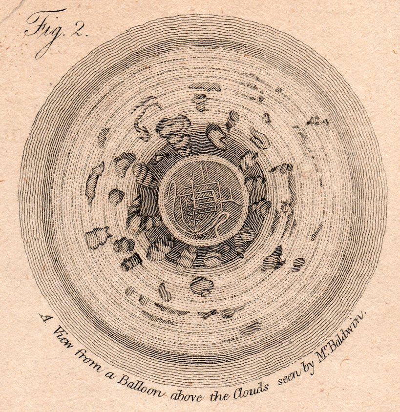
    The idea of representing a view straight down, of looking straight down from some height, is a relatively recent occurrence, this view being somewhat rare in the antiquarian world pre-balloon or pre-heavier-than-air flight.  The pre-human-flight reason for its scarcity is understandable, but even after the first Montgolfier ascension in 1787, there’s another 120+ years of scarcity yet to come before these views would start to pop up in common (and uncommon) literature..  Now I’m not talking about cartography, which is basically a straight-down view of the world—what I’m referring to is that same view but not as a map per se, but what you would see if you were dangling out of a plane or balloon.  The extraordinary map of Imola by Leonardo would certainly classify because of its you-are-there qualities:  essentially it would be like a bird’-eye or oblique view, but straight down.

    All of the images are available to purchase from our blog bookstore, here. 

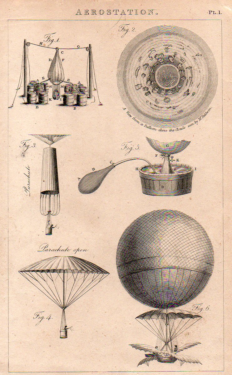
    The first image is that made from a balloon, a lighter than air affair, and engraved and printed around 1810 or so.  It has a very uncommon vertigo-ey affect, like a map of Dante’s leveled creations, though what we’re seeing is a very 

    Looking str8t Diwn-balloom det220 

    …which is a detail from this engraving, made in London around 1810. 

    Looking str8t Diwn-balloom219

    There are of course a number of other lovely design elements, not the least of which is the man in the parachute, bottom left.  (My guess is that the flag held by the man was not for patriotic reasons but rather for more practical concerns, light judging wind strength and duration.   

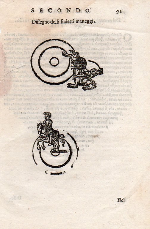
    Another interesting image is this instructional from a source printed around 1620 (I don’t know the source here, either–I purchased the print loose many years ago like many of the others here at Pageant Bookshop in NYC).  It shows a slightly oblique angle (below) and then the flat-perspective view at top: 

    Looking str8t Diwn-horse221
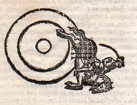
    And then the lovely detail:

    Looking str8t Diwn-horse222

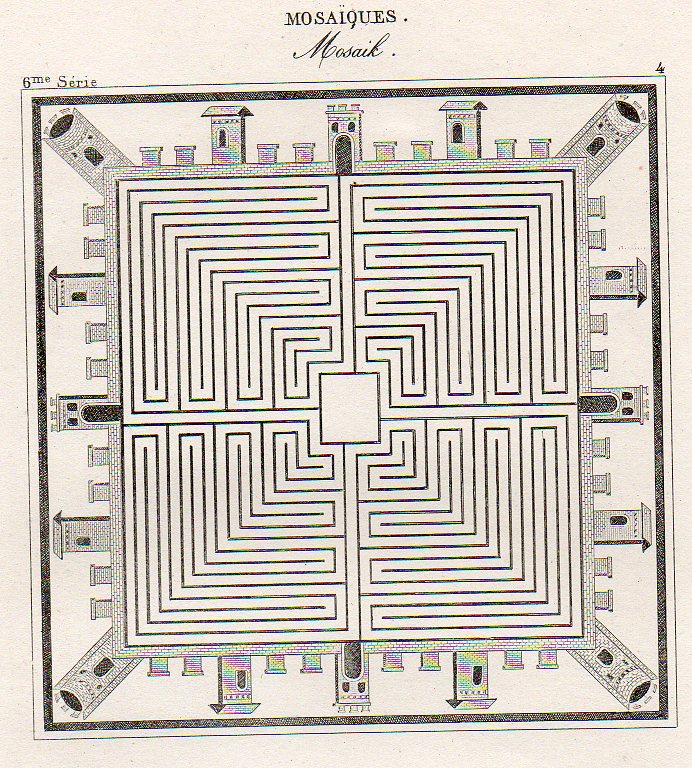
    Then there’s this beauty, showing an idealized town square, presented in mosaic as though seen from above, continuing this thread of flat-perspective–basically looking at some central part straight down, and then taking the objects surrounding the central figure and simply laying them on their backs, as so):

    Looking str8t Diwn--mosaic218

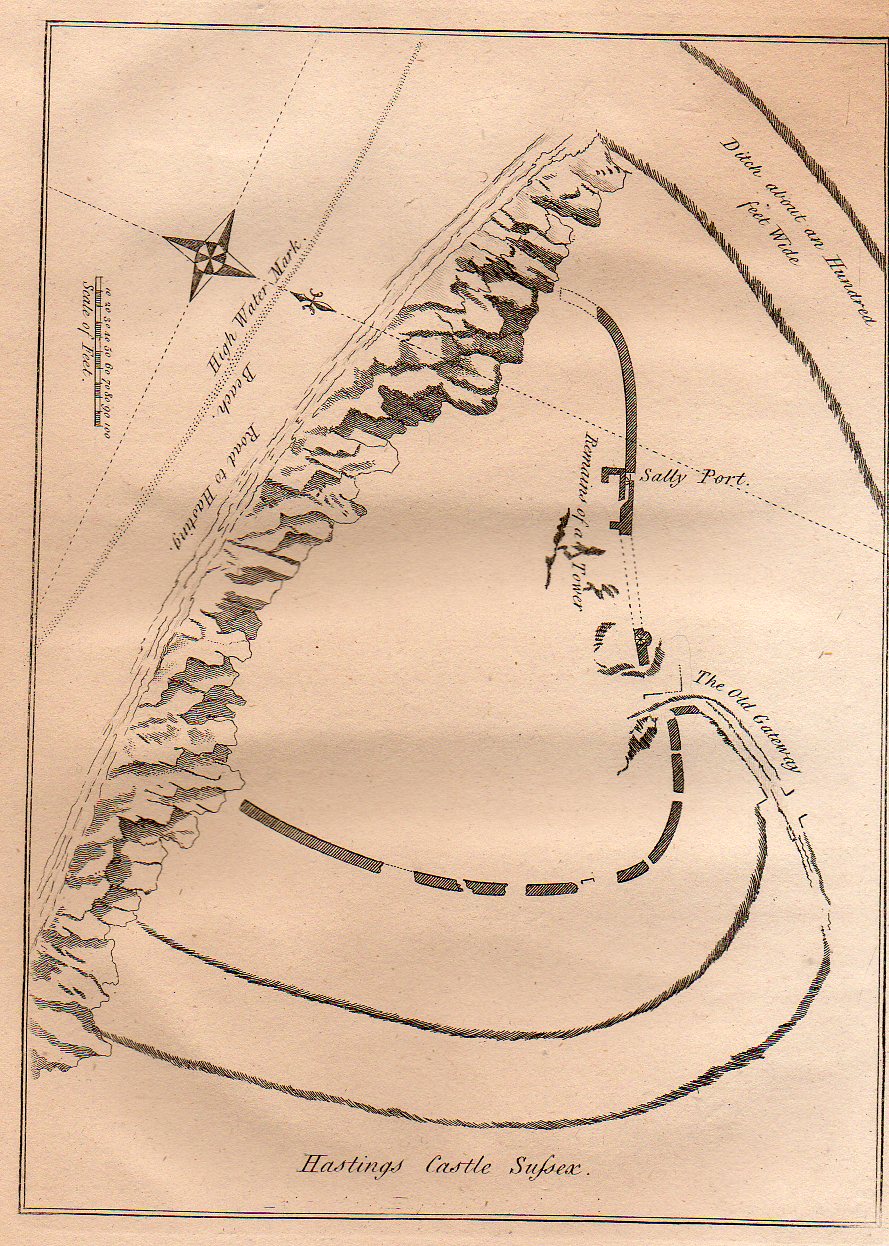
    Lastly for now is this quite flat persepective of the remains of the Hastings Castle (East Sussex), which was built right after 1066 but before the battle.  The (limestone) cliffs that did so much damage to the castle are clearly visible, though what was left of the castle is not.  The view of the area of the castle shows the grounds both in perspective and plan and also from directly above. Its a more-naive approach to imaging that was done so well (on occasion) by the U.S. Coast Survey when it rendered a coastline with an inset of what the coastline looked like from the water–both were superior efforts, but a little odd if you took the map at face value.  This map makes no pretense on perspective correctness, though it is overall a fine map, nicely displaying the necessary details accureately though not correctly (?)

    Looking str8t Diwn--hastings217


  • Protection from Aircraft, Part 3: the 1930’s and Anti-Aircraft Philosophy

    JF Ptak Science Books   Post 1281

    Bloglondonballoon

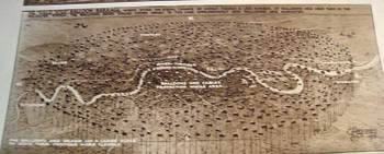
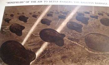
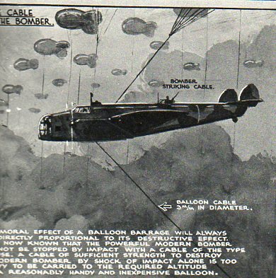
    This series of drawings, published in the Illustrated London News 16 July 1938,  by the incredibly prolific and detail-oriented G.H. Davies depicts one segment of the city defense program being formulated by the British government in the last year  or two leading up to the beginning of the European end of World War Two. (I own 150 or so of these images by Davies–he never fails to provide the detail where you need it.)   The overall plan for defending major British cities consisted of anti-aircraft guns, searchlights, R.A.F. fighter squadrons and interceptors, and the “Balloon Barrage”.  London and suburbs are featured here, all to be protected by a series of ten squadrons of fifty balloons each, handled by a crew of ten.  The thinking was that it would make low-level bombing by fighter aircraft (?!) impossible, and force any aircraft attempting such an approach to a higher altitude where they would be theoretically susceptible to the interceptor squadrons. 
    Bloglondonballoonbottom

    I’m not terribly sure why the thinking was against low altitude attack, but my best guess is that the planners were thinking about the He-111Bs and Ju52s or other such aircraft that the Nazis checked and tested out against the Spanish Republicans during the Civil War. Perhaps freshest of all memories of the German operation Feuerzauber (Magic Fire) was the Guernica raid, just a year or so before the publication of these images, where that militarily insignificant town was attacked from the air in twenty minute intervals over three hours, destroying it in a terror blitz.  If I was sitting around a big table at 10 Downing, I’d have that picture in my head.  .
    Bloglondonballoondetail

    Be that as it may, the “air mine field” looks terribly inefficient and vulnerable to me, sort of like an exposed Maginot Defense Line, but without the very deep misunderstandings that went along with the horrible French effort. 

    Explanation of the Images:

    a)    The first image shows the incredible perimeter defense network, which extended ten miles around St. Paul’s; the balloons were moored at 100 yard intervals, making for 1100 or so balloons to “fence” the perimeter.
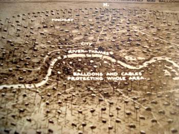
    b) The second image shows  London center and immediate suburbs, with another 500 balloons in a smaller circle inscribed in the larger.
    c)  The third image Bloglondonballoonsbotto is a close-up of the balloons, looking down;  seems as though they were tethered at about 2000 feet or so
    d)  The last image is a close-up of London center.  .

  • Future Steampunk in the Air-1930’s/1940’s Popular Science

     JF Ptak Science Books   Post 1279

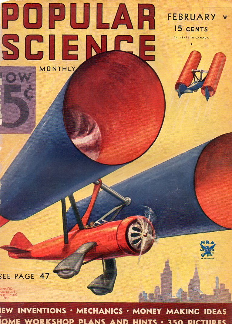
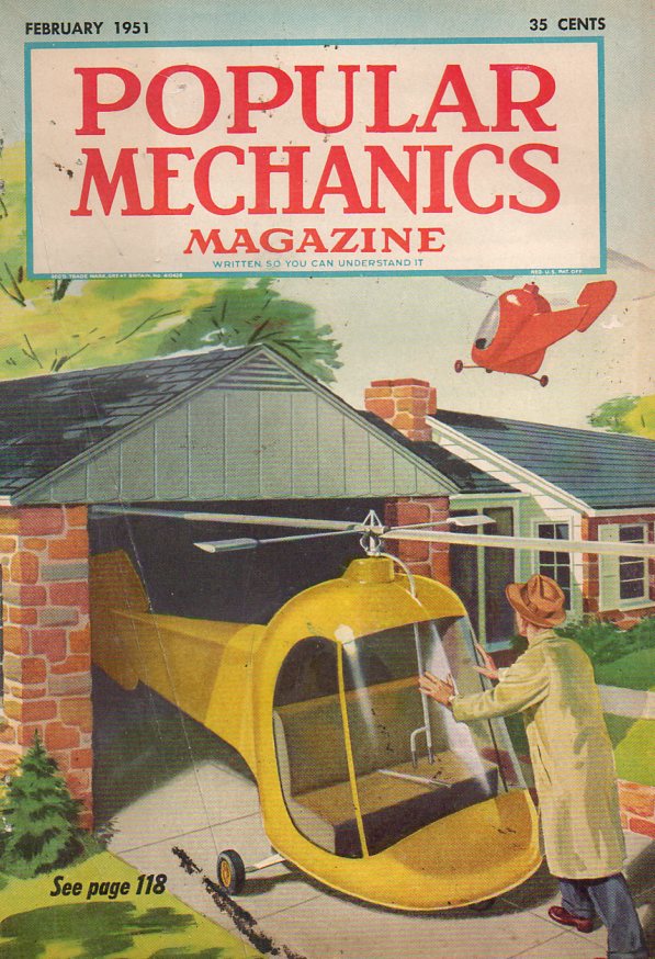
    In a continuing thread on Steampunk themes I’ve organized some of my 1930’s cover art into themes–first up were examples of waterborne-Steampunk, which is now followed by an airborne-Steampunk, and then by Steampunk Land and Steampunk WTH(?)   (All of the examples coming up are available for purchase from my blog bookstore, here.)  Steampunk as a general idea is a class of technology that is large, clanging, oily, greasy, heavy, shiny, smoky, and usually driven by steam power, (though other power sources can be applied)  Some make sense today, some don’t–most of the machines addressed for a particular use have actually been implemented here in the not-too-distant future of the 1930’s, and usually much more elegantly than could’ve been imagined then (obviously).  But I must say that given the times and the tools, these people did a great job, if not for the reason of the invention but for pushing the idea-ball forward.  

    Steampunk--air139

    Steampunk--air149


  • Airwar over Gallipoli–New, Massive Aeroplane-delivered Bombs, 1915

    JF Ptak Science Books

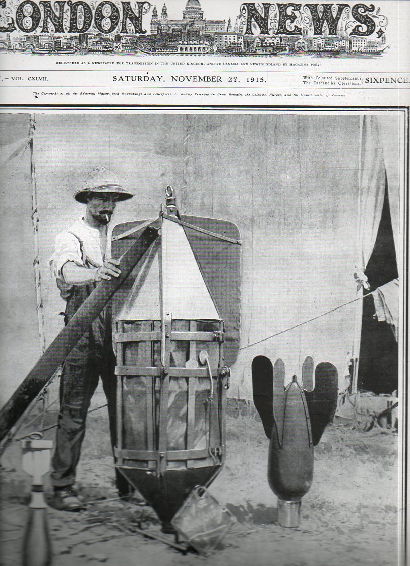
    War Images “Almost as Tall as a Man!  Great Bomb Used by the Allies Airmen at Gallipoli”, as seen on the front cover of The Illustrated London News for 27 November 1915. The campaign at Gallipoli was more than half done, more than half-way closer to the finish, which found the Allies retreating in the midst of high misery, gallant action, and broad death and destruction, with more than 390,000 soldiers from both sides being killed or wounded during the 10 months of the campaign. It was a miserable experience–hot in the summer, cold in the winter, with frostbite, rotting corpses, dysentery, bad food, poor sanitation, supply difficulty, and ultimately a costly stalemate which was supposed to have ended up in an Allied route to Russia. 
    WWI--e---aerial bomb642

    The use of bombs by airborne craft was still in its infancy at this point, the idea coming into use just a few years before the beginning of the war in 1914–the practice was quickly adapted after 1915.  (The first use of bombs dropped from airplanes is widely seen as having taken place by the Italians in 1911 and then in Mexico during the revoultion in 1912.) This image shows the development of an enormous bomb, though its details and destruction force “are left to the imagination of the reader”; I’m pretty sure that the bomb (if it was real and if it wasn’t just a piece of propaganda) would’ev been hauled aloft and dropped from a dirigible rather than an airplane. 
    See: Airwar over Gallipoli/Dardenelles   and here for a general look at aviation udring the early part of WWI.

    [We offer the weekly issue of the Illustrated London News for sale here.]

    ·Posted by :

    ·in:

    — —

  • An ABC of Bombing, 1940

    JF Ptak Science Books    Post 1245

    I’ve written on this blog on some odd alphabets, and I’m certainly aware of some unusual alphabet books (like the alphabet of acronyms for some of FDR’s social creations and an alphabet book for socially conscience city planning in 1940), and there are endless alphabet books for young people learning how to read, but I don’t remember ever seeing an ABC book for bombing.  Actually, its ABCs for after the bombing: (I’ve also written dozens of posts on “bombing” in general–just enter teh term in the google search at left for a listing.)

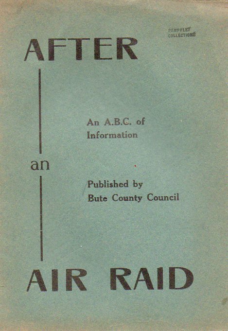
    Air raid884 After the Air Raid, an A,B,C, of Information,by the Bute County Council,  was published around 1940 (and which is available for purchase through our blog bookstore).This was printed in the town of Rothesay (by the “Rothesay Express”), which of course places publication in Scotland (though the Bute that I know is a county in North Carolina, 275 miles from where I sit–an old, 1760’s-founded county, up near the border of Virginia, closing in on the coat…its not-for-nothing that they call my part of the state “the Southern Highlands”, what with the huge influx of Scots/Irish coming into this area in the 18th 19th centuries).  It’s a curious publication, not the least of which is the unlikely place of its origin. 

    Another curious thing is that no other copy of this slight publication shows up in WorldCat/First Search–not only that, but there are precious few publications that are found in the 1940-1950 era with “after” and “air raid” in their titles. (The few I found are below.)

    The six-page pamphlet manages to cover 15 letters of the alphabet, plus a question mark at the end, for questions.

    The entries are very economical, tidy, and well written:

    “Money.
    If you are in need as a result of enemy action, you should explain your circumstances to the Assistance Board Officer who, if satisfied with your case, will help you.”

    “Orphans
    Notification should be sent to the Information Centre of any children who have become orphans as a result of air raids.”

    “Tools
    You may obtain a grant to replace tools which are essential to your work, apply to Employment Exchange for assistance.”   

    Very matter-of-fact.  I should think that if you needed to consult a work like this after having been bombed, that you’d want your information compact and direct.

    ·Posted by :

    ·in:

    — —