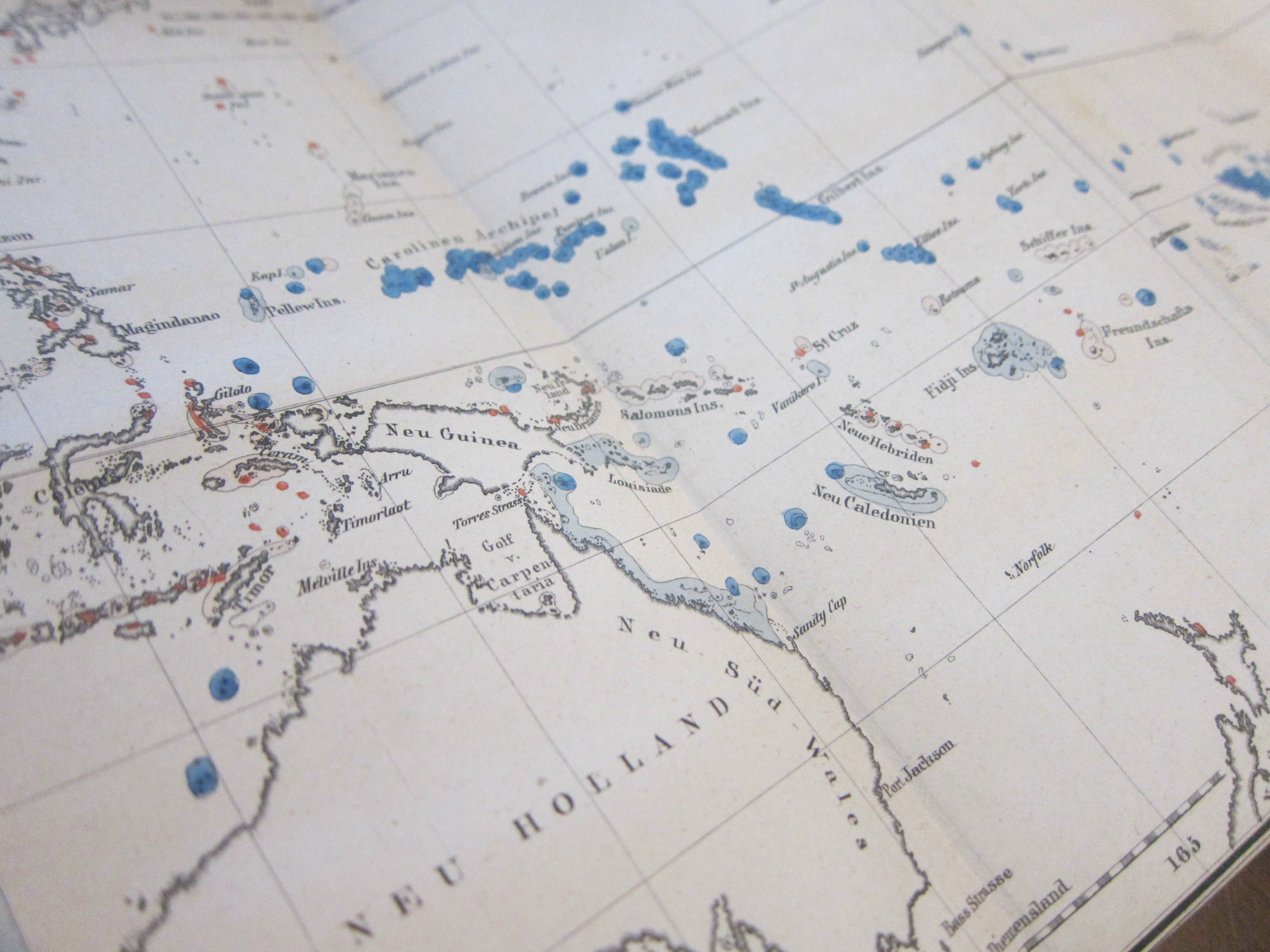
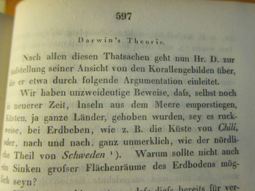
(Darwin, Charles.) “Ueber Verbreitung, Beschaffenheit und Entstehung der Korallen-Inseln” [nach Darwin], in Annalen der Physik und Chemie, 1845, series II volume 64, pp 563-614 (about 15,000 words). (“The distribution, character, and origin of the coral islands.”, “after Darwin”.) It seems as though this (and the following) Darwin are rarely mentioned in the usual resources–in fact I have not yet been able to find a mention of them outside of a Google search which finds it in a general index to the second series of the Annalen. Having worked with the Annalen for many years (principally the Annalen from 1799 to the early 1930’s) it was my overall impression that the appearance of contributions in the natural sciences were not at all common and had become less so by the time of the Darwin-related paper. Perhaps the lack of reference is due to the unexpected (to me, at least) appearance of the work in the great physics/chemistry journal. In any event, here it is, with a lovely copy of the wonderful map.
PROVENANCE: Provinzial-Gewerbschule zu Aachen (with their small, oval rubber stamp on the title page; then on to the Deutsche Akademie der Luftfahrtforsuchung (with their name stamped in gilt at the spine bottom); and then on to Wright Patterson Air Force Base Field, with their rubber stamp on the page edges (exterior) top and bottom. Lastly, the Library of Congress, with their “surplus” stamp on the rear endpapers.
CONDITION: there are three scratches on the front cover (the largest 3mmx20mm) as well as three spots of heavier wear that has removed some of the design in the marbling on the front board; also, there is some scattered foxing. That said, this is still a solid, VERY GOOD copy, tight and crisp. MAP: 19x28cm, with four old vertical folds, and is printed and trimmed nearly to the borders. There is some occasional and very light foxing, but in general the map is very bright, crisp, and fresh, and no doubt had received very very little attention. The map’s condition is FINE to VERY FINE. $950
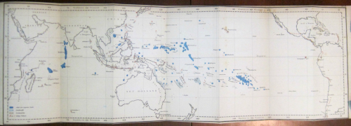
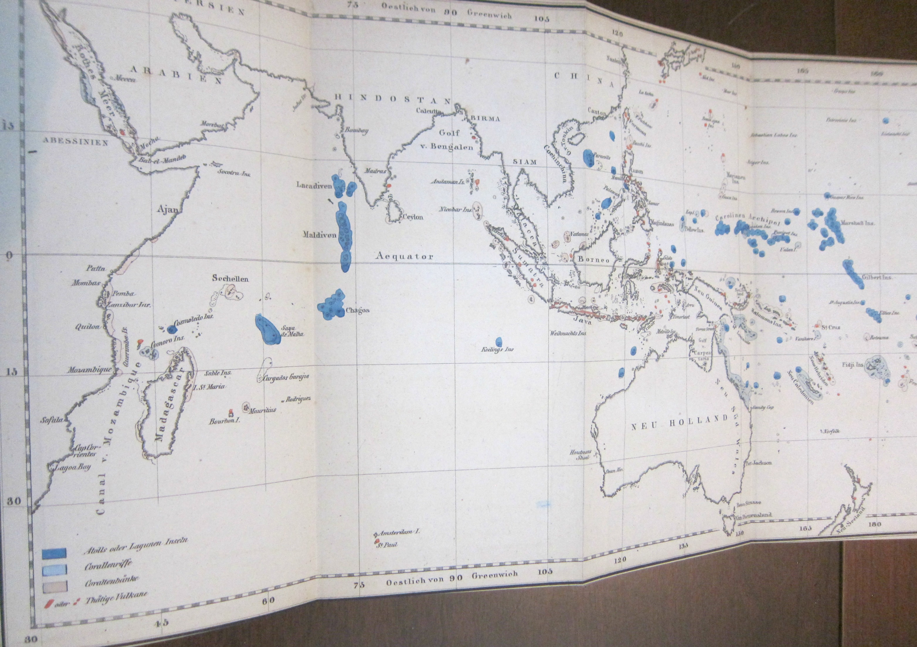
I was surprised to find this long and early (1845) contribution on Darwin and his ambitious work on coral reefs in the generally physical-sciences-heavy Annalen der Physik. The surprise was ever more so because of the illustration for the article–a German version of the coral islands/reefs map that appears as the frontispiece to Darwin’s The Structure and Distribution of Coral Reefs…appeared three years earlier in 1842. (Darwin’s Journal of Researches..., today more commonly known as the Voyage of the Beagle, which was the third volume of Narrative of the Surveying Voyage of His Majesty’s Ships Adventure and Beagle…… was published in 1839, and his first publication of any kind appeared ten years earlier in 1829; the first German translation of the Narrative appeared in 1845 as Naturwissenschaftliche Reise. As John van Wyhe–the founder and curator of the fantastic resource Darwin Online–points out the German translations were significant because “It was in German…that Darwin influenced the founder of genetics Gregor Mendel, and the pioneering evolutionists August Weismann and Ernst Haeckel”–van Wyhe, “Darwin in Translation”.)
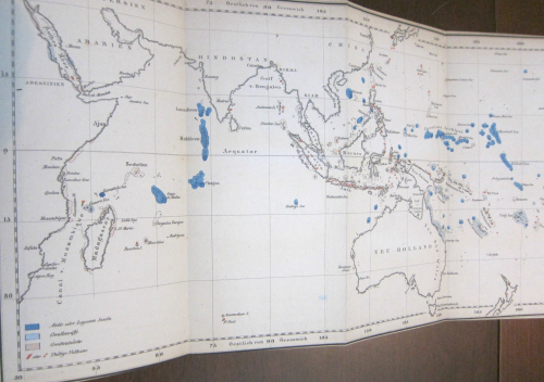
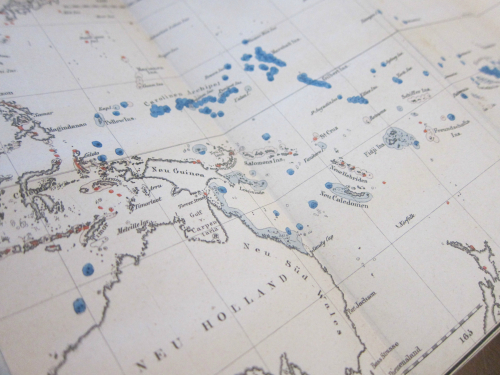
The original map is titled “Plate 3–Shewing the Distribution of the Different Kinds of Coral Reefs, together with the Position of Active Volcanoes in the Map” and was engraved by J. & C Walker, and printed by Smith & Elder. The Annalen map measures 19x28cm and has no title or indication of engraver.
Here’s an appreciation of the map from the University of Maryland’s Integration and Application Network, Dr. Bill Dennison, “Ten Classic Maps” (http://ian.umces.edu/blog/2013/12/27/ten-classic-scientific-maps/):
“Coral reefs: The map of coral reefs throughout the Pacific Ocean created by Charles Darwin in 1842 as part of his first science book, The Structure and Distribution of Coral Reefs is a masterpiece. Although Darwin’s subsequent books about natural selection eclipsed his insights into coral reefs, this coral reef map is part of the theory that Darwin had about the formation of coral reefs. Darwin correctly hypothesized that coral reefs were formed by the limestone accumulation by corals and that extinct volcanos were buried beneath modern coral atolls. It was over one hundred years before drilling associated with the nuclear testing on Bikini atoll that Darwin’s theory was confirmed. Darwin did a couple of important things with this map: he color coded the reefs that were subsiding (blue) and uplifting (red) and he produced a large foldout to cover the entire tropical Pacific Ocean in a single contiguous map. In this manner, viewing the map instantly reveals the “magnificent and harmonious picture” of the broad patterns that Darwin observed. I am convinced that this is the first important piece of evidence supporting plate tectonics and the Pacific ‘Ring of Fire‘, and that if Darwin had a bit more information available at the time, that he would have actually come up with the theory of plate tectonics.”
Also available:
Darwin, Charles. “Zusammenhang der vulkan. Phaenomene in Sudamerika und Bildung von Bergketten und Vulkanen als Wirkungderselben Kraft, durch welche Continente erhoben Werden”, In Annalen der Physik, 1841, volume 52, pp 484-494. This is a abridged translation of “On the Connexion of certain Volcanic Phenomena in South America; and on the Formation of Mountain Chains and Volcanos, as the Effect of the same Power by which Continents are elevated” in Transactions of the Geological Society of London, S2, 5, 601-631, 1840. [From the opening paragraph of the original edition: “Introduction. The object of the present memoir is to describe the principal phenomena generally accompanying the earthquakes on the west coast of South America; and more especially those which attended the shock that overthrew the city…”] The (simple) map and three text illustrations in the original 1840 London edition are not printed in the German 1841 translation.
Bound in cloth-backed marbled boards. PROVENANCE: Deutsche Akademie der Luftfahrtforsuchung (with their name stamped in gilt at the spine bottom); and then on to Wright Patterson Air Force Base Field, with their rubber stamp on the page edges (exterior) top and bottom. Lastly, the Library of Congress, with their “surplus” stamp on the rear endpapers. $350
This is a very early appearance of Darwin in German (and the third overall in German, I believe), the first appearance coming in 1839 with a short work ‘Über der Luftshifferei der Spinnen’ in Neue Notizen aus dem Gebiete der Natur- und Heilkunde, which was an extract from Darwin’s Journal of Researches (1839, pp. 187-188, this from John van Wyhe n Darwin Online).