JF Ptak Science Books (Post 193 from 2008) Expanded and with better images.
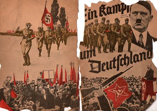
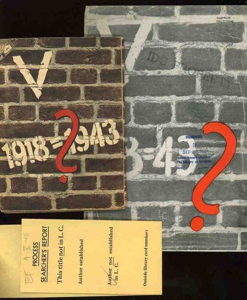
These two, related, pamphlets were the products of the Nazi Propaganda engine and sought to affect the moral and intellectual stamina of the people in the occupied countries of the Netherlands and France in 1943. Each stressed the enormous differences in the German state that took place in the 25 years between the end of World War I and the third year of the Nazi European part of World War II. I’ve no idea whatsoever about the grander symbology (if any) of these numbers associated with these two pamphlets (the Roman numeral for “5” and the 25 years of the difference and the “13” points (of the French propaganda) aside from the obvious mathematical implications.
(The only interesting bit that I can find in the “18=43” from the French pamphlet is Luke 18:43 “Immediately the man could see again and began to follow Jesus, glorifying God. All the people saw this and gave praise to God.”. ) I find it curious that identical symbolism (?) was used for the two countries, and that the French version was simple comparative text (summarizing the differences in the two periods of time) while the Dutch version was mainly a picture book.
I would reprint the French version if it wasn't so bloodily hateful. (Suffice to say that this is so by looking at one example: in the last of the second issue of 13 points Goebbels et alia wrapped themselves in the insulating fabric of the German “people” in the “resistance” against “Jewish saboteurs”—not the German political machine, and not the German military, but the German people, insinuating that the Nazi annihilation of the Jewish people was de facto sanctioned by the will of the German nation. This is of course part and parcel of the fictitious and loathsome Protocols of the Elders of Zion (of which Henry Ford was a happy reader), a French work that was completely stolen and plagiarized by Imperial Russia in the early 1880's and which, later, Hitler used to both build his hate against the Jewish people and use (and acknowledge ) as the template for his early actions in the Nazi Party.)
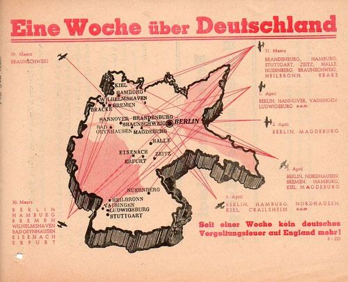
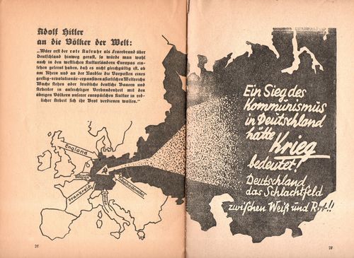
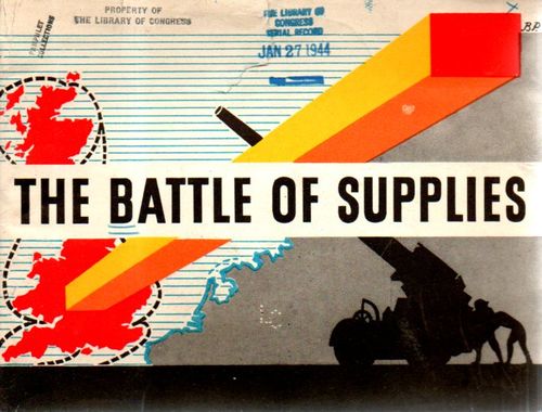
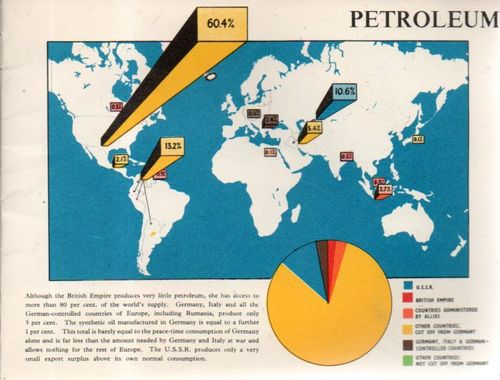
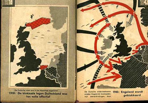
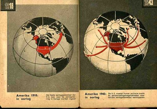
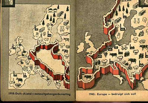
The maps used in the Dutch publication are fairly general and issue a stark warning about the growth of Germany--and how Germany continues to grow through war. The first that we reprint, above, tries to get the point across to the occupied people that England has more problems to deal with than would concern their attention with the Netherlands. The second part of the first map crazily shows the attack upon England and the effectively exhausting attention it has to pay to many points of invasion. Ditto for the second map, showing the spread of American concerns--the U.S. in 1943 would have far more to deal with in many points in a two-ocean war than to concern itself with or have the ability to think about the liberation of Europe and the Netherlands. The last map shows the supposedly extraordinary growth in Germany's industrial and agricultural capacity.
In short, the maps tell its readers to just keep quiet, the German nation is mighty, and just wait for the end of the victorious German war. The maps also addressed non-readers--of course the Dutch literacy rate was extremely high, but you didn't have to be able to read the description of the map to understand its blunt message. (This makes me wonder if the maps really weren't intended for scare tactics against children.) As Boss Tweed once infamously reported--that he had no fear of editorials because his constituency couldn't read--he hadn't counted on the political cartoons of Thomas Nast--which could be understood by a non-reader--and which wound up being one of the direct causes of his exposure and downfall.
