JF Ptak Science Books Post 2422
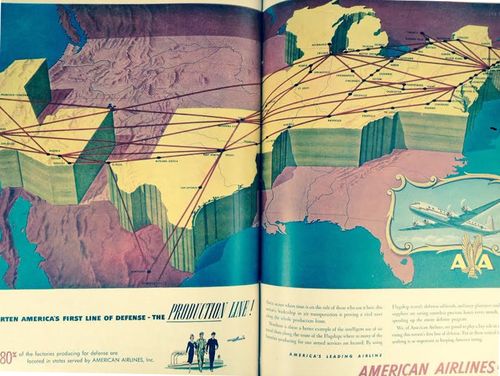
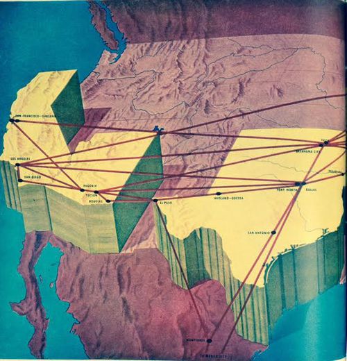
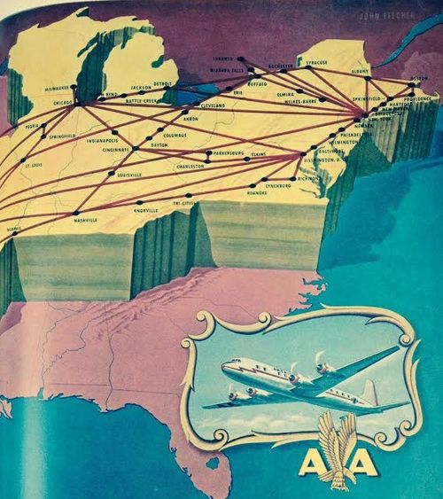
Yesterday I posted a lovely octahedron map showing intercontiental air routes in 1956 (here). Today, looking in LIFE magazine for some images and a story about U.S. GI's being exposed to nuclear blast tests I bumped into this unusual two-and-a-half dimension map showing domestic air routes of American Airlines (November, 1951). The national service areas are chunked-up, given some enormous height, not making things very comfortable-looking for the Pacific W and northern Mid-West, and almost the entire South. I guess the question would be, were the service areas heightened, or the rest of the world lowered?
The first transcontinental flight competition called for crossing the country in 30 days (for a $50k prize) and was accomplished in 1911. By 1933 the fist transcontinental through-flight (a one-day, not-overnight flight) occurred just 22 years later in 1933; only 5 years before this map was made was the first 1-stop service (1946), which is one reason why there are so many intermittent stops; it would be another two years (1953) for there to be non-stop service. The of course the not-slow explosion of competing airlines and flights.
It is interesting to recall that the first transcontinental railroad for the U.S. was in 1869, and the first European transcontinental railroad was 14 years before that (in 1855), thus getting people across the country and continent 80 and then nearly 100 years ago. On the other hand ,the first trans-Australian RR was completed in 1917--that was east-west. North-south is a different issue for Australia, which has been an historically very highly difficult crossing., In any event that line was not completed until 2004. All things considered, I think, this transcontinental air business was extremely successful and fast, coming less than 50 years after the first Wright powered flight.


Comments