JF Ptak Science Books Quick Post
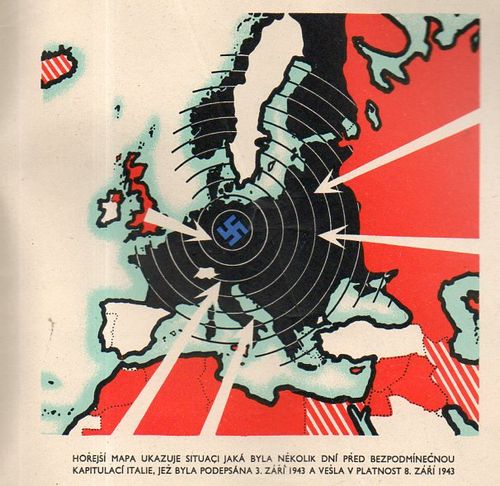
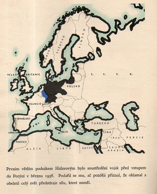
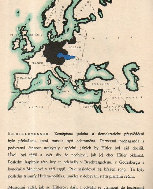
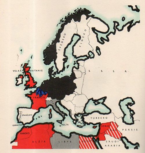
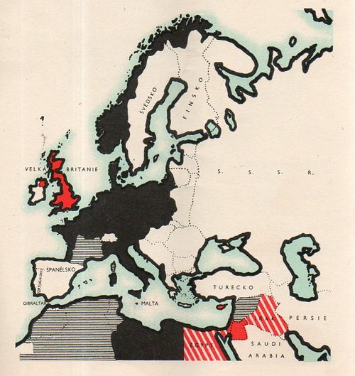
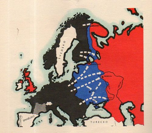
Čtyři léta války v mapách ("Four Years of War...in Maps"), published in London, ca. 1943, is a Czech-exile publication showing the development of the war in a number of very striking maps. The maps end at the publication of the pamphlet--except of course, for the 1948 map. The culminating interest though shows the Nazis surrounded, and put to the final test--it is the first map I list, below, even though it was about the last map in the pamphlet. It is a rare thing, this pamphlet, and it does not show up in the usual places. There are only seven copies located in the WorldCat/OCLC, all in top-notch libraries: NYPL, Yale, Harvard, Harvard Law, UC Berkeley, Oxford, and Nanterre.
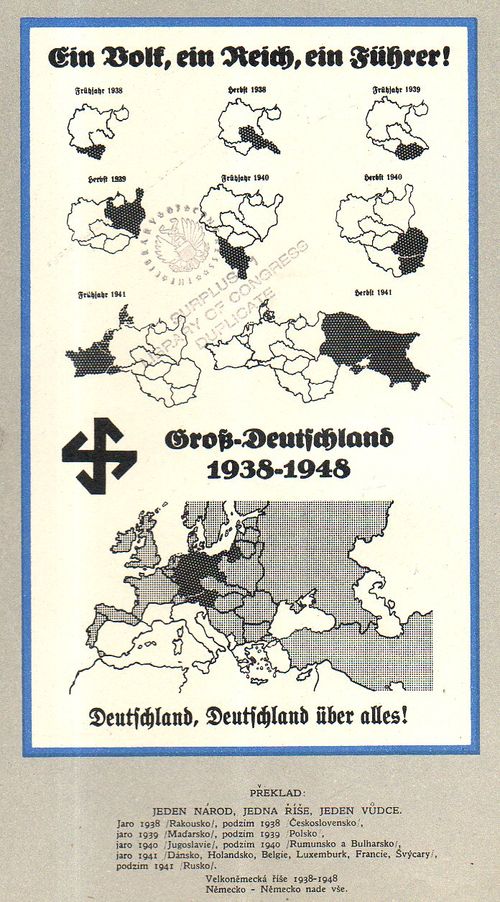
An overall view of the progress of German war conquests:


Comments